Enable Location

We need your location to show you interesting places around you

Discover nearby places

Find interesting locations and hidden gems around you

Precise directions

Get accurate directions and distances to places

Your location is never shared with other users. It's only used when you tap the location button.

St. Albans

Log in to your account

Start exploring — it's free

Trusted by 63,744 travelers worldwide

Continue with Google
Continue with Apple
or

We will send you a code to connect

By continuing, you accept our Terms and Conditions and our Privacy Policy

Check your inbox

We've sent a pincode in your inbox. Please enter the code below.

St. Albans
Discussion Reviews 1 Photos
15.7k Popularity

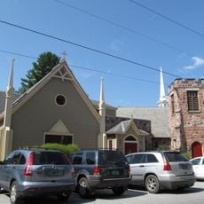
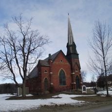
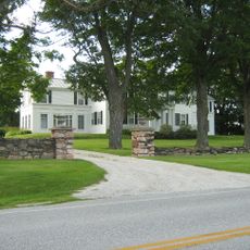
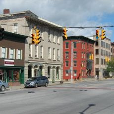
St. Albans, town in Franklin County, Vermont, United States

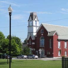
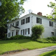
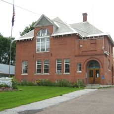
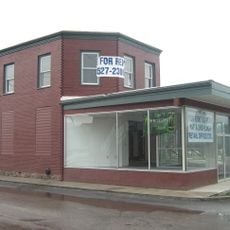
St. Albans is a small town in Franklin County in northwest Vermont that stretches along the shores of Lake Champlain. The town has about 7,000 residents and includes a mix of historic buildings, active shops and restaurants, waterfront access, and trails for outdoor recreation.

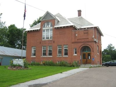
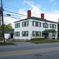
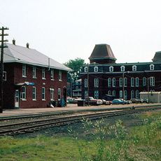
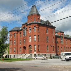
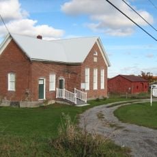
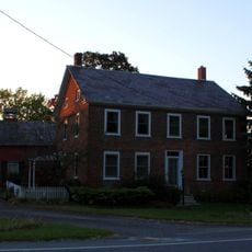
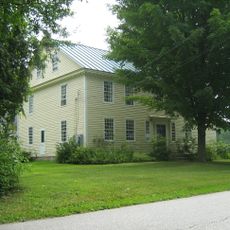
The town received official approval in 1763 from Colonial Governor Benning Wentworth and grew from a small settlement into an important center. The arrival of railroad lines in the 1800s transformed it into a major transportation hub, earning it the nickname 'Rail City' and bringing jobs to many residents.

The town takes its name from St. Albans in England, reflecting its colonial roots. Visitors can see how maple syrup traditions shape local life, from seasonal festivals to restaurant menus and the stories people share about their heritage.

The town is easy to navigate on foot or by bike due to its compact size and walkable streets. An Amtrak station provides long-distance rail connections, while rental cars, taxis, and buses are available for local and regional travel.

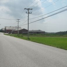
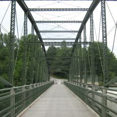
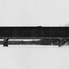
The town holds the title of 'maple capital of the world' and celebrates with an annual April festival featuring parades, carnival rides, and fresh maple treats. The Missisquoi Valley Rail Trail, a gravel path through fields and over small bridges, showcases old barns and former railway structures that tell the story of the town's transportation past.

The community of curious travelers

AroundUs brings together thousands of curated places, local tips, and hidden gems, enriched daily by 60,000 contributors worldwide.

Start exploring
Location
GPS coordinates
44.81028,-73.15222
Latest update
February 19, 2026 23:40
Around this place
Missisquoi Valley Union Middle/High School
United States of America

Missisquoi Valley Union Middle/High School

13.7 km
Knight Point State Park
United States of America

Knight Point State Park

12 km
Warner Home
United States of America

Warner Home

6 km
Holy Trinity Episcopal Church
United States of America

Holy Trinity Episcopal Church

12.1 km
Georgia Plain Baptist Church
United States of America

Georgia Plain Baptist Church

10 km
Rockledge
United States of America

Rockledge

9.4 km
St. Albans Historic District
United States of America

St. Albans Historic District

5.4 km
Ballard Farm
United States of America

Ballard Farm

11.3 km
Methodist Episcopal Church
United States of America

Methodist Episcopal Church

12.2 km
United Methodist Church of Isle La Motte
United States of America

United Methodist Church of Isle La Motte

16.4 km
United Methodist Church
United States of America

United Methodist Church

15 km
Houghton House
United States of America

Houghton House

5.3 km
Hathaway's Tavern
United States of America

Hathaway's Tavern

5.9 km
Central Vermont Railroad Headquarters
United States of America

Central Vermont Railroad Headquarters

5.1 km
Douglas & Jarvis Patent Parabolic Truss Iron Bridge
United States of America

Douglas & Jarvis Patent Parabolic Truss Iron Bridge

16.1 km
Swanton Covered Railroad Bridge
United States of America

Swanton Covered Railroad Bridge

16 km
L'Ecole Saintes-Anges
United States of America

L'Ecole Saintes-Anges

4.6 km
St. Albans Town Hall
United States of America

St. Albans Town Hall

1.1 km
Giroux Furniture Company Building
United States of America

Giroux Furniture Company Building

5.2 km
Richwood Estate
United States of America

Richwood Estate

7.4 km
District No. 2 School
United States of America

District No. 2 School

6 km
Fairfield Street School
United States of America

Fairfield Street School

5.8 km
South Stone School House
United States of America

South Stone School House

15.9 km
Swanton School
United States of America

Swanton School

12 km
District No. 8 School
United States of America

District No. 8 School

9.3 km
Solomon Goodrich Homestead
United States of America

Solomon Goodrich Homestead

8.2 km
Evarts-McWilliams House
United States of America

Evarts-McWilliams House

3.2 km
Hyde Log Cabin
United States of America

Hyde Log Cabin

13.9 km
Show the full map
Reviews
Share your experience

No review yet

Discussions
Start a discussion...

No discussion yet

« St. Albans - town in Franklin County, Vermont, United States » is provided by Around Us (aroundus.com). Images and texts are derived from Wikimedia project under a Creative Commons license. You are allowed to copy, distribute, and modify copies of this page, under the conditions set by the license, as long as this note is clearly visible.

Discover hidden gems everywhere you go!

From secret cafés to breathtaking viewpoints, skip the crowded tourist spots and find places that match your style. Our app makes it easy with voice search, smart filtering, route optimization, and insider tips from travelers worldwide. Download now for the complete mobile experience.

Around Us App Screenshot

A unique approach to discovering new places

Le Figaro

All the places worth exploring

France Info

A tailor-made excursion in just a few clicks

20 Minutes

Around Us
Travel Guide & Maps
Download

Send to your phone

QR Code
1

Open the camera app on your mobile.

2

Point at the QR code with your camera. A notification will appear.

3

Tap the notification to open the link.