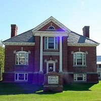
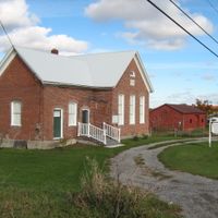
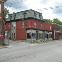
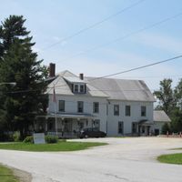
Franklin County, Administrative division in northwestern Vermont, United States.
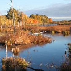
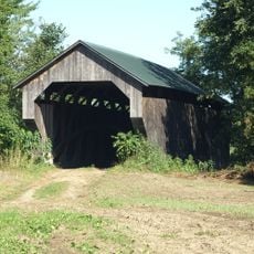
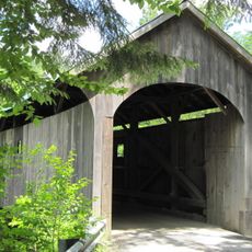
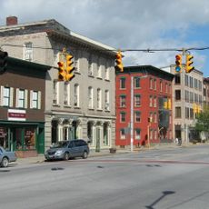
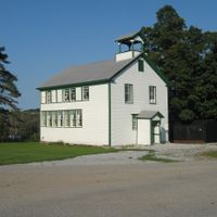
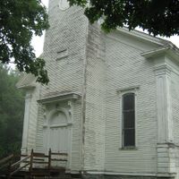
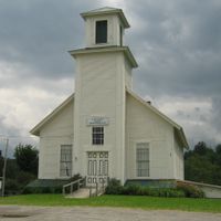
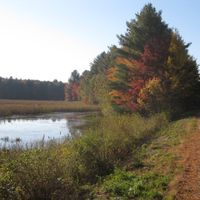
Franklin County is an administrative division in northwestern Vermont encompassing 15 municipalities across varied terrain. The region contains farmland, forests, and waterways that define the character of its communities.
The county was established in 1792 and named after Benjamin Franklin when it separated from Chittenden County. This formation was part of Vermont's early administrative organization.
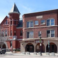
The Enosburg Opera House functions as a performing arts center since 1982, presenting theatrical productions and musical performances throughout the calendar year.
The area has multiple border crossings into Canada that allow access to the international boundary. Visitors should understand that proper documentation is needed when crossing borders.
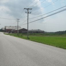
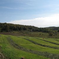
The region is known for dairy farming and maple syrup production, which are central to the local economy. Many traditional sugar houses process maple sap here using longstanding methods.
The community of curious travelers
AroundUs brings together thousands of curated places, local tips, and hidden gems, enriched daily by 60,000 contributors worldwide.