Río Grande, municipality in Puerto Rico
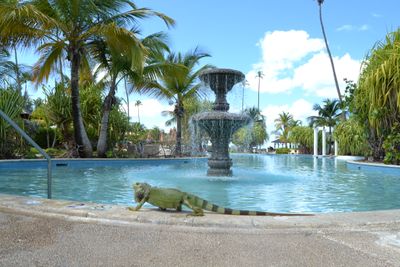
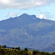
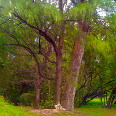
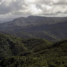
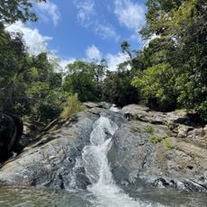
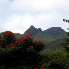
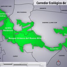
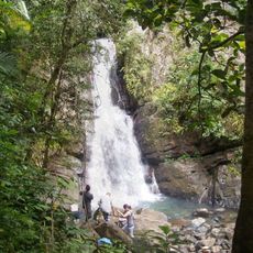
Río Grande is a town in Puerto Rico located in a mountainous area near the coast and surrounded by lush vegetation. The town has a relaxed appearance with simple houses, local shops and cafes, while the nearby El Yunque rainforest with waterfalls and dense greenery is an important part of the landscape.
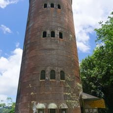
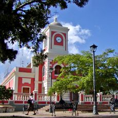
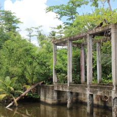
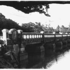
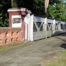
The town was founded many years ago and its history is closely tied to agriculture and fishing, activities that supported generations of families. Old sugar plantations and churches still stand today as reminders of this past and show how the community was built over the decades.
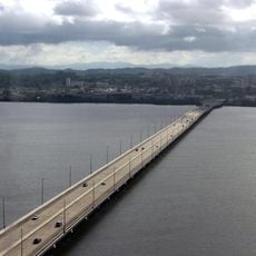
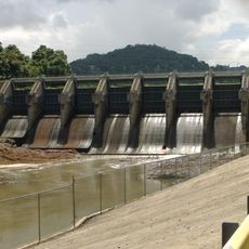
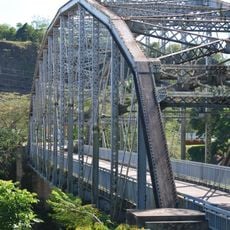
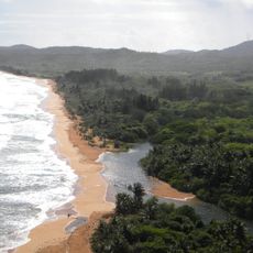
The name Río Grande refers to the large river that flows through the town and has shaped local life for generations. Visitors can observe how residents use the river and surrounding spaces to spend time with family and friends, keeping traditions alive through local festivals and shared meals together.
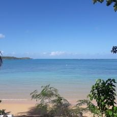
Visitors can easily explore the town on foot, and friendly residents are happy to help with directions or tips. The warm climate year-round makes outdoor activities enjoyable at any time, and small hotels and guesthouses offer simple lodging options.
Near Laguna Grande, visitors can kayak at night and watch the water light up with blue flashes when tiny creatures glow. This rare experience of shimmering water makes the paddle feel like gliding through stars.
The community of curious travelers
AroundUs brings together thousands of curated places, local tips, and hidden gems, enriched daily by 60,000 contributors worldwide.