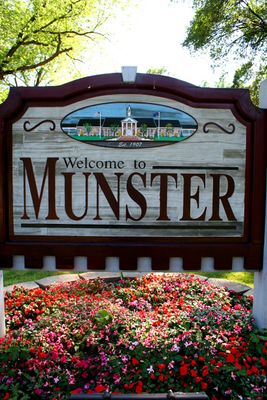
Munster, Suburban community in Lake County, Indiana, United States
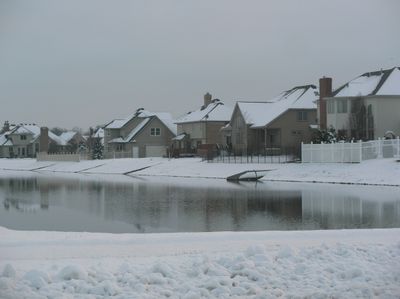
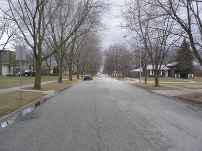
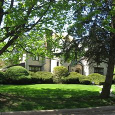
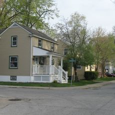
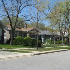
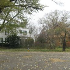
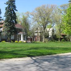
Munster is a suburban community in Lake County, Indiana, spread across North Township and connected by Ridge Road, a former Native American path. The area sits at 186 meters elevation and consists of residential neighborhoods linked by this historic route.
The settlement began in the 1850s when Jacob Munster from the Netherlands opened a general store that included a United States postal station. This early business activity marked the beginning of permanent settlement and area growth.
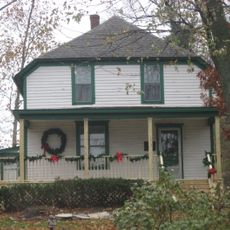
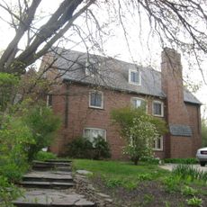
Schools shape daily community life in Munster, with multiple institutions earning Indiana Blue Ribbon recognition and drawing families to the area. This focus on education influences how residents interact and strengthens neighborhood bonds.
The town sits conveniently between Chicago and major roadways including Borman Expressway I-80/94, with close proximity to O'Hare International Airport. Visitors find easy connections to the broader region and can reach nearby areas without difficulty.
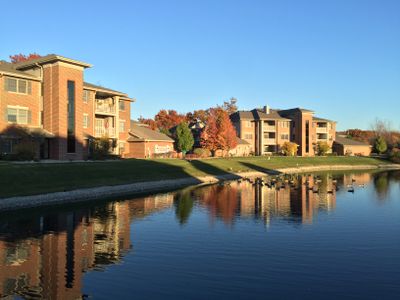
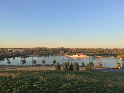
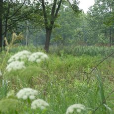
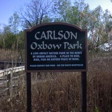
Centennial Park opened in 2007 on former landfill grounds and features a golf course, fishing areas, and walking paths for community use. This space demonstrates how old industrial sites can transform into enjoyable recreational areas for residents.
Location: Lake County
Inception: 1907
Elevation above the sea: 186 m
Website: http://munster.org
GPS coordinates: 41.56448,-87.51254
Latest update: December 14, 2025 18:35
Meyer's Castle
8.1 km
Hammond Civic Center
4.8 km
Hoosier Prairie State Nature Preserve
6.5 km
Theatre at the Center
939 m
Stallbohm Barn-Kaske House
1.2 km
Carlson Oxbow Park
5 km
Morse Dell Plain House and Garden
3.6 km
Southmoor Apartment Hotel
4.6 km
Glendale Park Historic District
4.3 km
Ibach House
2.7 km
Indi-Illi Park Historic District
3 km
George John Wolf House
2.4 km
Pullman-Standard Historic District
4.6 km
Forest-Ivanhoe Residential Historic District
2 km
Northern States Life Insurance Company
4.6 km
Forest-Moraine Residential Historic District
3.8 km
Roselawn-Forest Heights Historic District
2.6 km
Forest-Southview Residential Historic District
3.4 km
Ford Airport Hangar
3.3 km
Wicker Memorial Park Golf Course
3.1 km
Centennial Park 9-Hole Golf Course
3.7 km
Peteyville Christmas Lights
6.2 km
Calumet City (Yellow Smiley Face) Water Tower
4.7 km
Amphitheater
3.2 km
Fox Pointe
1.9 km
The Center for Visual and Performing Arts
934 m
Flick Statue
4.2 km
Mural, Work of art
4.4 kmVisited this place? Tap the stars to rate it and share your experience / photos with the community! Try now! You can cancel it anytime.
Discover hidden gems everywhere you go!
From secret cafés to breathtaking viewpoints, skip the crowded tourist spots and find places that match your style. Our app makes it easy with voice search, smart filtering, route optimization, and insider tips from travelers worldwide. Download now for the complete mobile experience.
A unique approach to discovering new places❞
— Le Figaro
All the places worth exploring❞
— France Info
A tailor-made excursion in just a few clicks❞
— 20 Minutes