Findlay Township

Log in to your account

AroundUs is a community-driven map of interesting places, built by curious explorers like you. It grows with every review, story, and photo you share.
Connect to save your favorite spots, contribute locations, and create personalized routes.
By continuing, you accept our Terms and Conditions and our Privacy Policy
Add to collection
Map
Suggest a change
Share

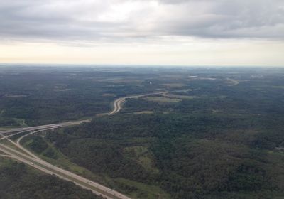
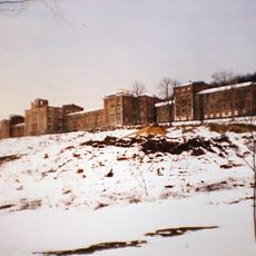
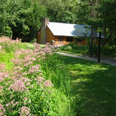
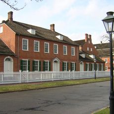
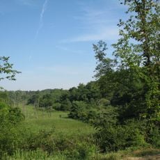
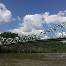
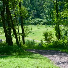
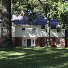
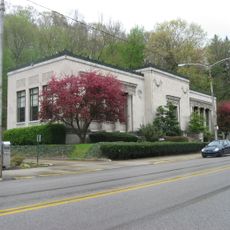
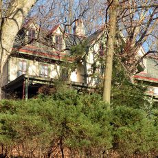
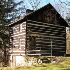
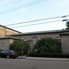
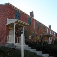
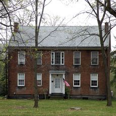
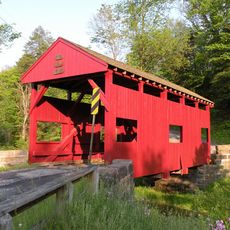
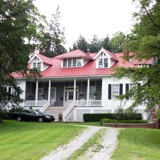
Findlay Township, township of Pennsylvania

GPS coordinates: 40.47857,-80.28065

Latest update: April 24, 2025 05:59

Around this place
Show the full map
Dixmont State Hospital
United States of America

Dixmont State Hospital

14.8 km
Raccoon Creek State Park
United States of America

Raccoon Creek State Park

14.2 km
Old Economy Village
United States of America

Old Economy Village

13.7 km
Hillman State Park
United States of America

Hillman State Park

8.8 km
Sewickley Bridge
United States of America

Sewickley Bridge

9.9 km
Pittsburgh Botanic Garden
United States of America

Pittsburgh Botanic Garden

11.7 km
Wilpen Hall
United States of America

Wilpen Hall

13.4 km
Coraopolis Bridge
United States of America

Coraopolis Bridge

11.7 km
Neville Island Bridge
United States of America

Neville Island Bridge

12.9 km
Dashields Locks and Dam
United States of America

Dashields Locks and Dam

10.3 km
Ambridge-Aliquippa Bridge
United States of America

Ambridge-Aliquippa Bridge

13.2 km
B.F. Jones Memorial Library
United States of America

B.F. Jones Memorial Library

15.2 km
Elmridge
United States of America

Elmridge

11.5 km
Walker-Ewing Log House
United States of America

Walker-Ewing Log House

12.7 km
Sewickley Public Library
United States of America

Sewickley Public Library

10.7 km
Walker-Ewing-Glass Log House
United States of America

Walker-Ewing-Glass Log House

11.6 km
Nicholas Way House
United States of America

Nicholas Way House

10.9 km
Coraopolis Armory
United States of America

Coraopolis Armory

10.5 km
Pittsburgh Botanical Garden Welcome Center
United States of America

Pittsburgh Botanical Garden Welcome Center

11.5 km
Mooncrest Historic District
United States of America

Mooncrest Historic District

9.2 km
David Littell House
United States of America

David Littell House

13.6 km
Lyle Covered Bridge
United States of America

Lyle Covered Bridge

8.5 km
899 Old Thorn Run Road
United States of America

899 Old Thorn Run Road

8.3 km
Oakdale Public School
United States of America

Oakdale Public School

12.2 km
David Shields House
United States of America

David Shields House

11.1 km
United States Post Office-Sewickley Branch
United States of America

United States Post Office-Sewickley Branch

10.4 km
Becky Thatcher
United States of America

Becky Thatcher

14.1 km
Joe Walton Stadium
United States of America

Joe Walton Stadium

7.2 km
Show the full map

Reviews

Visited this place? Tap the stars to rate it and share your experience / photos with the community! Try now! You can cancel it anytime.

« Findlay Township - township of Pennsylvania » is provided by Around Us (aroundus.com). Images and texts are derived from Wikimedia project under a Creative Commons license. You are allowed to copy, distribute, and modify copies of this page, under the conditions set by the license, as long as this note is clearly visible.

Discover hidden gems everywhere you go!

From secret cafés to breathtaking viewpoints, skip the crowded tourist spots and find places that match your style. Our app makes it easy with voice search, smart filtering, route optimization, and insider tips from travelers worldwide. Download now for the complete mobile experience.

Around Us App Screenshot

A unique approach to discovering new places

Le Figaro

All the places worth exploring

France Info

A tailor-made excursion in just a few clicks

20 Minutes