Enable Location

We need your location to show you interesting places around you

Discover nearby places

Find interesting locations and hidden gems around you

Precise directions

Get accurate directions and distances to places

Your location is never shared with other users. It's only used when you tap the location button.

Smyrna

Log in to your account

Start exploring — it's free

Trusted by 62,779 travelers worldwide

Continue with Google
Continue with Apple
or

We will send you a code to connect

By continuing, you accept our Terms and Conditions and our Privacy Policy

Check your inbox

We've sent a pincode in your inbox. Please enter the code below.

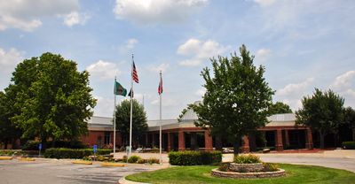
Smyrna, Municipal center in Rutherford County, Tennessee, United States.

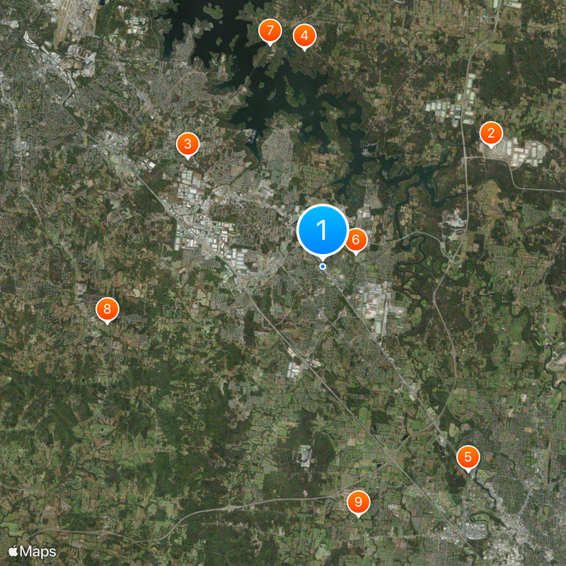
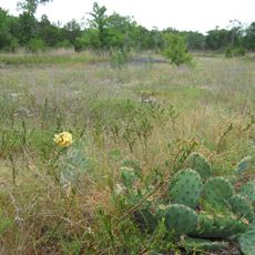
Smyrna is a municipality in Rutherford County, Tennessee, roughly 16 miles (26 kilometers) southeast of Nashville. The settlement spreads between residential neighborhoods, commercial zones, and farmland crossed by two smaller waterways.

The settlement emerged in the mid-19th century as a supply post along the railroad route between Nashville and Chattanooga. During the Civil War, the area served as a passage route for troops and changed hands several times.

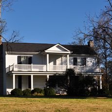
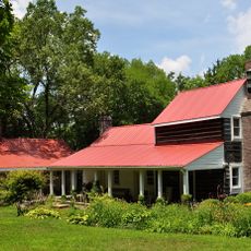
The name comes from the ancient Greek city and reflects the 19th-century preference for classical names. Along State Route 102, suburban homes and smaller shops line the streets, while locals often use the community park for gatherings.

Most areas can be reached by car, as public transport is limited and distances between points often span several miles. Grocery stores and gas stations are mostly found along the main roads in the northern and western parts of the municipality.

Despite the official designation as a town, the municipality qualifies administratively as the largest of its category in Tennessee. The local automotive plant ranks among the most productive sites outside Japan for a Japanese manufacturer.

The community of curious travelers

AroundUs brings together thousands of curated places, local tips, and hidden gems, enriched daily by 60,000 contributors worldwide.

Start exploring
Inception
1855
Elevation above the sea
166 m
GPS coordinates
35.98247,-86.51994
Latest update
December 13, 2025 19:26
Around this place
Nashville Superspeedway
United States of America

Nashville Superspeedway

11.9 km
Starwood Amphitheatre
United States of America

Starwood Amphitheatre

10 km
Long Hunter State Park
United States of America

Long Hunter State Park

12.6 km
Hazen Brigade Monument
United States of America

Hazen Brigade Monument

14.4 km
Sam Davis House
United States of America

Sam Davis House

2 km
Couchville Cedar Glade State Natural Area
United States of America

Couchville Cedar Glade State Natural Area

13.2 km
Sherwood Green House
United States of America

Sherwood Green House

12.9 km
Beesley Primitive Baptist Church
United States of America

Beesley Primitive Baptist Church

14.5 km
United States of America

Elmwood

11.1 km
Cane Ridge Cumberland Presbyterian Church
United States of America

Cane Ridge Cumberland Presbyterian Church

10.5 km
Nolensville School
United States of America

Nolensville School

13.9 km
United States of America

George W. Morton House

14.2 km
Bank of Nolensville
United States of America

Bank of Nolensville

13.9 km
Idler's Retreat
United States of America

Idler's Retreat

700 m
Benajah Gray Log House
United States of America

Benajah Gray Log House

9.6 km
United States of America

Abram Glenn House

15.1 km
Stones River National Battlefield Visitor Center
United States of America

Stones River National Battlefield Visitor Center

13.7 km
Smyrna Outdoor Adventure Center
United States of America

Smyrna Outdoor Adventure Center

1.5 km
United States of America

Bell Forge 10 Cinema

13.5 km
Jordan-Williams House
United States of America

Jordan-Williams House

10.1 km
United States of America

Cedar Crest Golf Club

9.8 km
United States of America

Williamson Family Farm

14.1 km

Airnasium

13.4 km
United States of America

Nashville Children's Art Classes

14.4 km

Swimming Area

10.1 km
United States of America

Drop Slide

1.6 km
United States of America

Helicopter Distature Statue

7.3 km
United States of America

Work of art, sculpture

0 m
Show the full map
« Smyrna - Municipal center in Rutherford County, Tennessee, United States » is provided by Around Us (aroundus.com). Images and texts are derived from Wikimedia project under a Creative Commons license. You are allowed to copy, distribute, and modify copies of this page, under the conditions set by the license, as long as this note is clearly visible.

Discover hidden gems everywhere you go!

From secret cafés to breathtaking viewpoints, skip the crowded tourist spots and find places that match your style. Our app makes it easy with voice search, smart filtering, route optimization, and insider tips from travelers worldwide. Download now for the complete mobile experience.

Around Us App Screenshot

A unique approach to discovering new places

Le Figaro

All the places worth exploring

France Info

A tailor-made excursion in just a few clicks

20 Minutes

Around Us
Travel Guide & Maps
Download

Send to your phone

QR Code
1

Open the camera app on your mobile.

2

Point at the QR code with your camera. A notification will appear.

3

Tap the notification to open the link.