Chest opened
+${chestReward.xp} XP
Explorer
NOUVEAU ×${chestReward.collectible.quantity}
tapez pour fermer
Chest locked

Open chests in the app

Around Us is built for your phone — chests unlock when you walk, explore and capture nearby places.

Enable Location

We need your location to show you interesting places around you

Discover nearby places

Find interesting locations and hidden gems around you

Precise directions

Get accurate directions and distances to places

Your location is never shared with other users. It's only used when you tap the location button.

River Vale

Log in to your account

Start exploring — it's free

Trusted by 72,882 travelers worldwide

Continue with Google
Continue with Apple
or

We will send you a code to connect

By continuing, you accept our Terms and Conditions and our Privacy Policy

Check your inbox

We've sent a pincode in your inbox. Please enter the code below.

Discussion Reviews 2 Photos
25.5k Popularity

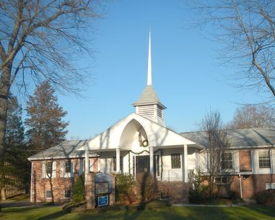
River Vale, Township in Bergen County, United States

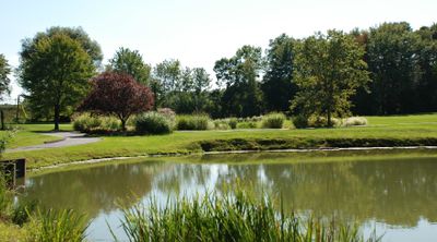
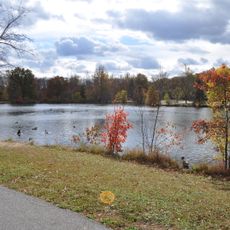
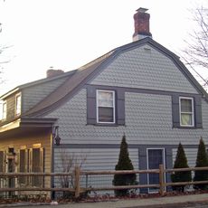
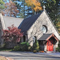
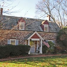
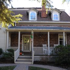
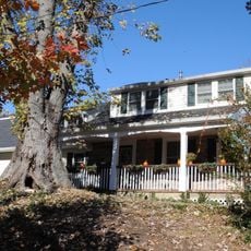
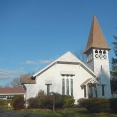
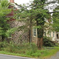
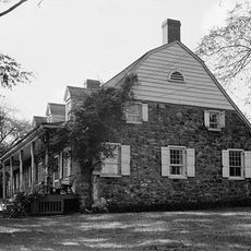
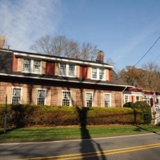
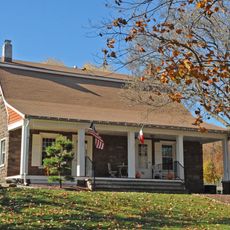
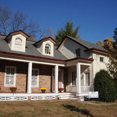
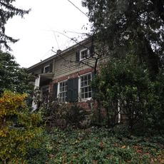
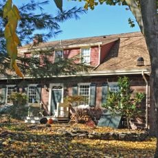
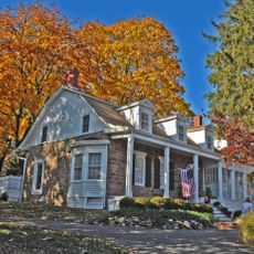
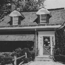
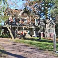
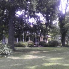
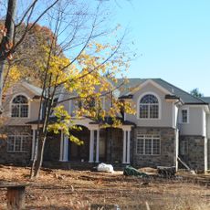
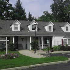
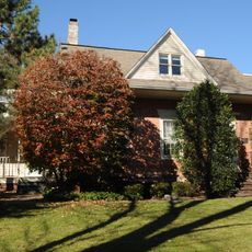
River Vale is a township in Bergen County in northern New Jersey, stretching across residential neighborhoods with three golf courses and several parks alongside the Hackensack River. The community provides local schools and connects to the regional high school system for older students.

The township formed in 1906 from portions of neighboring communities and was officially recognized as an independent municipality. This founding shaped its development as a distinct residential community in Bergen County.

The township maintains three elementary schools and sends students to Pascack Valley High School, fostering education within the Bergen County system.

The area is easy to explore by car and offers plenty of parking throughout the residential streets. Dining options and shops are spread across the community, so visitors can find basic services and food without traveling far.

On January 5, 1904, River Vale recorded the lowest temperature in New Jersey history at -34 degrees Fahrenheit (-37 degrees Celsius).

The community of curious travelers

AroundUs brings together thousands of curated places, local tips, and hidden gems, enriched daily by 60,000 contributors worldwide.

Start exploring
Location
Inception
April 30, 1906
Elevation above the sea
22 m
Shares border with
Montvale, Park Ridge, Hillsdale, Westwood, Emerson, Harrington Park, Old Tappan
GPS coordinates
40.99538,-74.01208
Latest update
December 17, 2025 05:13
Around this place
Major John Andre Monument
United States of America

Major John Andre Monument

5.6 km
United States of America

Woodcliff Lake Reservoir

3.7 km
Wortendyke Barn
United States of America

Wortendyke Barn

4.8 km
Pascack Brook County Park
United States of America

Pascack Brook County Park

735 m
Edward Salyer House
United States of America

Edward Salyer House

6.2 km
Michael Salyer Stone House
United States of America

Michael Salyer Stone House

6.6 km
Church of the Holy Communion
United States of America

Church of the Holy Communion

4.3 km
John G. Ackerson House
United States of America

John G. Ackerson House

4.4 km
Terhune House
United States of America

Terhune House

4.1 km
Blauvelt House
United States of America

Blauvelt House

3.2 km
Presbyterian Church of Norwood
United States of America

Presbyterian Church of Norwood

4.3 km
Gerrit Haring House
United States of America

Gerrit Haring House

2.9 km
Blanch-Haring House
United States of America

Blanch-Haring House

3.1 km
Frederick Haring House
United States of America

Frederick Haring House

3.7 km
John Banta House
United States of America

John Banta House

4 km
Haring-DeWolf House
United States of America

Haring-DeWolf House

4.3 km
Frederick Wortendyke House
United States of America

Frederick Wortendyke House

3.7 km
Frederick Wortendyke House
United States of America

Frederick Wortendyke House

4 km
William Holdrum House
United States of America

William Holdrum House

3.1 km
Peter P. Post House
United States of America

Peter P. Post House

3.9 km
Capt. Thomas Blanch House
United States of America

Capt. Thomas Blanch House

3.9 km
Peter D. Perry House
United States of America

Peter D. Perry House

3 km
John Jacob Bogert House
United States of America

John Jacob Bogert House

2 km
Haring-Vervalen House
United States of America

Haring-Vervalen House

4.1 km
Blauvelt-Demarest House
United States of America

Blauvelt-Demarest House

2.8 km
Teunis Haring House
United States of America

Teunis Haring House

4.6 km
Lake Tappan
United States of America

Lake Tappan

5.1 km
United States of America

Valley Brook Golf Course

1.4 km
Show the full map
Reviews
Share your experience

No review yet

Discussions
Start a discussion...

No discussion yet

« River Vale - Township in Bergen County, United States » is provided by Around Us (aroundus.com). Images and texts are derived from Wikimedia project under a Creative Commons license. You are allowed to copy, distribute, and modify copies of this page, under the conditions set by the license, as long as this note is clearly visible.

Discover hidden gems everywhere you go!

From secret cafés to breathtaking viewpoints, skip the crowded tourist spots and find places that match your style. Our app makes it easy with voice search, smart filtering, route optimization, and insider tips from travelers worldwide. Download now for the complete mobile experience.

Around Us App Screenshot

A unique approach to discovering new places

Le Figaro

All the places worth exploring

France Info

A tailor-made excursion in just a few clicks

20 Minutes

Around Us
Travel Guide & Maps
Download

Send to your phone

QR Code
1

Open the camera app on your mobile.

2

Point at the QR code with your camera. A notification will appear.

3

Tap the notification to open the link.