Claysville

Log in to your account

AroundUs is a community-driven map of interesting places, built by curious explorers like you. It grows with every review, story, and photo you share.
Connect to save your favorite spots, contribute locations, and create personalized routes.
By continuing, you accept our Terms and Conditions and our Privacy Policy
Add to collection
Map
Suggest a change
Share

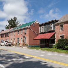
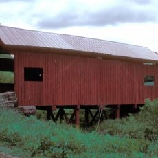
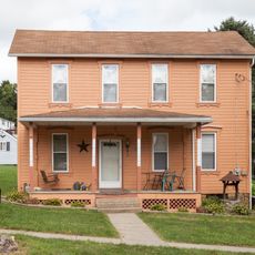
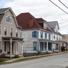
Claysville, borough of Pennsylvania

GPS coordinates: 40.11785,-80.41034

Latest update: April 23, 2025 23:05

Around this place
Show the full map
David Bradford House
United States of America

David Bradford House

15.1 km
Cameron Stadium
United States of America

Cameron Stadium

14.9 km
Washington County Courthouse
United States of America

Washington County Courthouse

15.2 km
Alexander Campbell Mansion
United States of America

Alexander Campbell Mansion

15.4 km
Washington County Jail
United States of America

Washington County Jail

15.1 km
Washington Trust Building
United States of America

Washington Trust Building

15.3 km
Claysville S Bridge
United States of America

Claysville S Bridge

5.7 km
Old Bethany Church
United States of America

Old Bethany Church

15.7 km
Montgomery House
United States of America

Montgomery House

540 m
Sawhill Covered Bridge
United States of America

Sawhill Covered Bridge

6.9 km
Dr. Joseph Maurer House
United States of America

Dr. Joseph Maurer House

15 km
Crawford Covered Bridge
United States of America

Crawford Covered Bridge

14.3 km
Day Covered Bridge
United States of America

Day Covered Bridge

14 km
David Stewart Farm
United States of America

David Stewart Farm

14.7 km
Caldwell Tavern
United States of America

Caldwell Tavern

6.2 km
Scott Brownlee Covered Bridge
United States of America

Scott Brownlee Covered Bridge

8.3 km
Wyit Sprowls Covered Bridge
United States of America

Wyit Sprowls Covered Bridge

12.7 km
Erskine Covered Bridge
United States of America

Erskine Covered Bridge

10.7 km
Plant's Covered Bridge
United States of America

Plant's Covered Bridge

10.8 km
Bethany Historic District
United States of America

Bethany Historic District

15.7 km
West Middletown Historic District
United States of America

West Middletown Historic District

14 km
Danley Covered Bridge
United States of America

Danley Covered Bridge

7.4 km
Taylorstown Historic District
United States of America

Taylorstown Historic District

5.4 km
West Alexander Historic District
United States of America

West Alexander Historic District

8.6 km
Blaney Mays Covered Bridge
United States of America

Blaney Mays Covered Bridge

7.4 km
Sprowl's Covered Bridge
United States of America

Sprowl's Covered Bridge

11.9 km
Robert Parkinson Farm
United States of America

Robert Parkinson Farm

13.5 km
Margaret Derrow House
United States of America

Margaret Derrow House

575 m
Show the full map

Reviews

Visited this place? Tap the stars to rate it and share your experience / photos with the community! Try now! You can cancel it anytime.

« Claysville - borough of Pennsylvania » is provided by Around Us (aroundus.com). Images and texts are derived from Wikimedia project under a Creative Commons license. You are allowed to copy, distribute, and modify copies of this page, under the conditions set by the license, as long as this note is clearly visible.

Discover hidden gems everywhere you go!

From secret cafés to breathtaking viewpoints, skip the crowded tourist spots and find places that match your style. Our app makes it easy with voice search, smart filtering, route optimization, and insider tips from travelers worldwide. Download now for the complete mobile experience.

Around Us App Screenshot

A unique approach to discovering new places

Le Figaro

All the places worth exploring

France Info

A tailor-made excursion in just a few clicks

20 Minutes