Enable Location

We need your location to show you interesting places around you

Discover nearby places

Find interesting locations and hidden gems around you

Precise directions

Get accurate directions and distances to places

Your location is never shared with other users. It's only used when you tap the location button.

Grand Isle County

Log in to your account

Start exploring — it's free

Trusted by 62,532 travelers worldwide

Continue with Google
Continue with Apple
or

We will send you a code to connect

By continuing, you accept our Terms and Conditions and our Privacy Policy

Check your inbox

We've sent a pincode in your inbox. Please enter the code below.

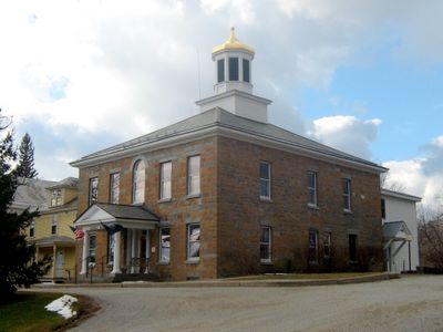
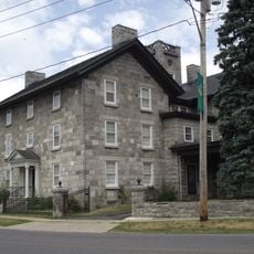
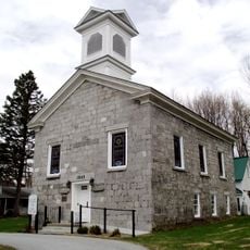
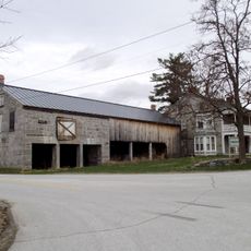
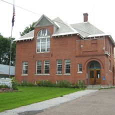
Grand Isle County, County region in northwestern Vermont, United States

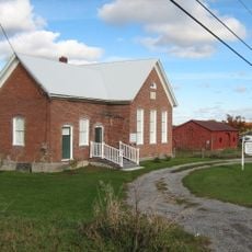
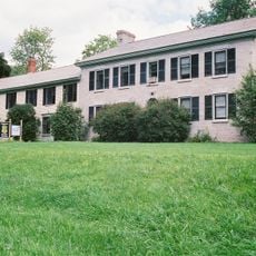
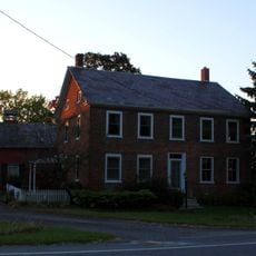
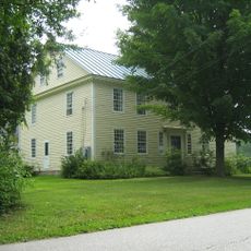
Grand Isle County is an administrative region in northwestern Vermont that encompasses a peninsula and several islands within Lake Champlain. The area consists primarily of three main islands and numerous smaller ones, featuring rural villages, farmland, and natural waterfront areas.

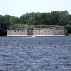
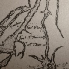
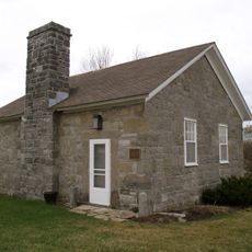
Fort Sainte-Anne was established in 1666 on Isle La Motte and marked the first European settlement in what would become Vermont. This early French presence shaped the region's development and cultural roots for generations to come.

French colonial influence shaped the region's identity, visible in place names and the stories of early residents. Visitors notice this heritage reflected in how the community has developed and what remains from that era.

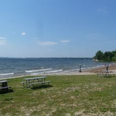
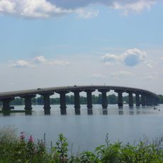
The area is best accessed by car or boat, with bridges and ferries connecting the islands. Visitors will find three state parks offering boat launches, camping areas, and trails for exploring the waterfront and surrounding land.

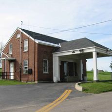
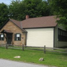
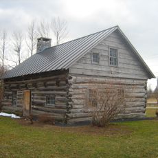
The Hyde Log Cabin on South Hero Island, built in 1783, ranks among the oldest surviving log structures in the United States. This building offers visitors a tangible connection to pioneer-era construction methods and daily life in the region.

The community of curious travelers

AroundUs brings together thousands of curated places, local tips, and hidden gems, enriched daily by 60,000 contributors worldwide.

Start exploring
GPS coordinates
44.70674,-73.30426
Latest update
December 7, 2025 19:29
Around this place
Fort Montgomery
United States of America

Fort Montgomery

33.5 km
Point Au Roche State Park
United States of America

Point Au Roche State Park

10.5 km
Rouses Point–Lacolle 223 Border Crossing
United States of America

Rouses Point–Lacolle 223 Border Crossing

34.2 km
Fort Sainte Anne
Canada

Fort Sainte Anne

21.8 km
Rouses Point Bridge
United States of America

Rouses Point Bridge

32.7 km
Sand Bar State Park
United States of America

Sand Bar State Park

10.2 km
Alburg Springs-Clarenceville Border Crossing
Canada

Alburg Springs-Clarenceville Border Crossing

34.9 km
Cumberland Head Light
United States of America

Cumberland Head Light

6.6 km
Point Aux Roches Light
United States of America

Point Aux Roches Light

11.2 km
Plattsburgh Bay
United States of America

Plattsburgh Bay

5.9 km
Knight Point State Park
United States of America

Knight Point State Park

7.2 km
Isle La Motte Light
United States of America

Isle La Motte Light

22.5 km
Alice T. Miner Colonial Collection
United States of America

Alice T. Miner Colonial Collection

22.5 km
Georgia Plain Baptist Church
United States of America

Georgia Plain Baptist Church

11 km
United Methodist Church of Isle La Motte
United States of America

United Methodist Church of Isle La Motte

19.1 km
United Methodist Church
United States of America

United Methodist Church

1.9 km
Rutland Railroad Pumping Station
United States of America

Rutland Railroad Pumping Station

29.8 km
L'Ecole Saintes-Anges
United States of America

L'Ecole Saintes-Anges

20.3 km
Ira Hill House
United States of America

Ira Hill House

19.2 km
St. Albans Town Hall
United States of America

St. Albans Town Hall

17.3 km
District No. 2 School
United States of America

District No. 2 School

12.9 km
W. G. Wilcox House
United States of America

W. G. Wilcox House

11.4 km
South Stone School House
United States of America

South Stone School House

16.5 km
District No. 8 School
United States of America

District No. 8 School

15 km
Gordon-Center House
United States of America

Gordon-Center House

3.4 km
Solomon Goodrich Homestead
United States of America

Solomon Goodrich Homestead

15.5 km
Evarts-McWilliams House
United States of America

Evarts-McWilliams House

15.3 km
Hyde Log Cabin
United States of America

Hyde Log Cabin

2.8 km
Show the full map
« Grand Isle County - County region in northwestern Vermont, United States » is provided by Around Us (aroundus.com). Images and texts are derived from Wikimedia project under a Creative Commons license. You are allowed to copy, distribute, and modify copies of this page, under the conditions set by the license, as long as this note is clearly visible.

Discover hidden gems everywhere you go!

From secret cafés to breathtaking viewpoints, skip the crowded tourist spots and find places that match your style. Our app makes it easy with voice search, smart filtering, route optimization, and insider tips from travelers worldwide. Download now for the complete mobile experience.

Around Us App Screenshot

A unique approach to discovering new places

Le Figaro

All the places worth exploring

France Info

A tailor-made excursion in just a few clicks

20 Minutes

Around Us
Travel Guide & Maps
Download

Send to your phone

QR Code
1

Open the camera app on your mobile.

2

Point at the QR code with your camera. A notification will appear.

3

Tap the notification to open the link.