
Stannard, town in Vermont
Location: Caledonia County
Elevation above the sea: 527 m
GPS coordinates: 44.53735,-72.20320
Latest update: March 3, 2025 02:16
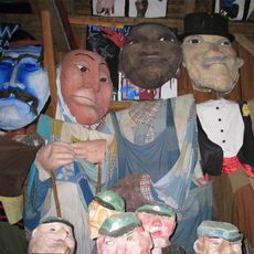
Bread and Puppet Theater
16.5 km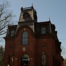
St. Johnsbury Athenaeum
19.6 km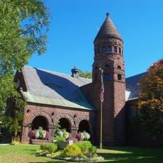
Fairbanks Museum and Planetarium
19.6 km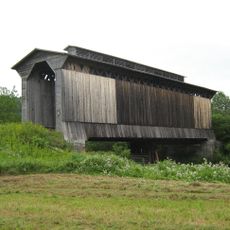
Fisher Covered Railroad Bridge
17.8 km
Greenbanks Hollow Covered Bridge
19 km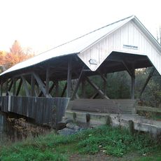
Chamberlin Mill Covered Bridge
15.5 km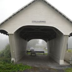
Old Schoolhouse Bridge
15.5 km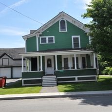
Caleb H. Marshall House
19.4 km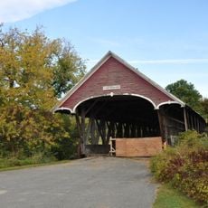
Centre Covered Bridge
16.1 km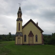
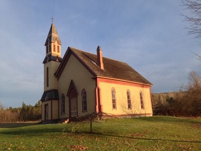
Methodist Episcopal Church
985 m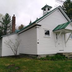
Cobb School
11.2 km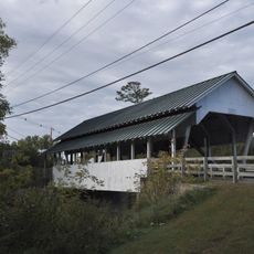
Bradley Covered Bridge
15.3 km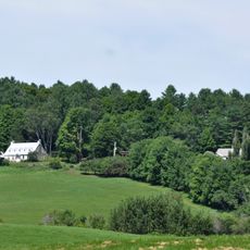
William and Agnes Gilkerson Farm
19.3 km
Christian Union Society Meetinghouse
9.5 km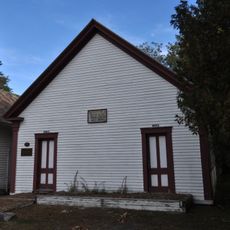
District 6 School House
15.2 km
Whittier House
18.8 km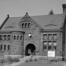
Downtown Hardwick Village Historic District
13.2 km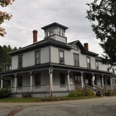
Riverside
16.8 km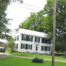
Hardwick Street Historic District
7.8 km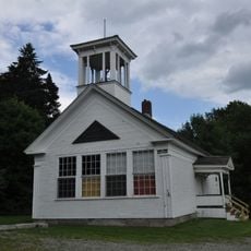
District Number Four School
17.6 km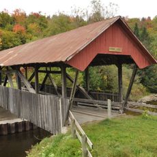
Burrington Covered Bridge
18.6 km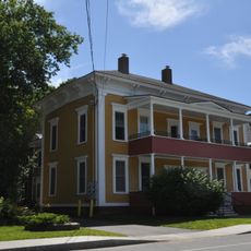
Shearer and Corser Double House
19.3 km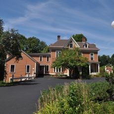
Franklin Fairbanks House
19.3 km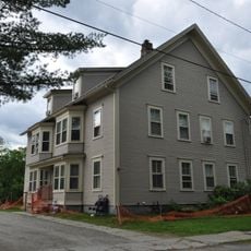
Building at 143 Highland Avenue
13.6 km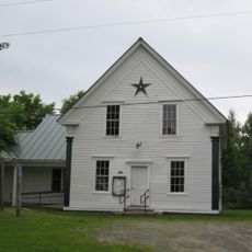
Stannard Schoolhouse
1.1 km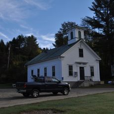
Wheelock Common Historic District
11.1 km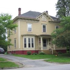
Maple Street-Clarks Avenue Historic District
19.6 km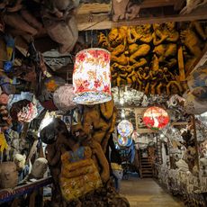
Bread & Puppet Theatre
16.5 kmVisited this place? Tap the stars to rate it and share your experience / photos with the community! Try now! You can cancel it anytime.
Discover hidden gems everywhere you go!
From secret cafés to breathtaking viewpoints, skip the crowded tourist spots and find places that match your style. Our app makes it easy with voice search, smart filtering, route optimization, and insider tips from travelers worldwide. Download now for the complete mobile experience.

A unique approach to discovering new places❞
— Le Figaro
All the places worth exploring❞
— France Info
A tailor-made excursion in just a few clicks❞
— 20 Minutes