Enable Location

We need your location to show you interesting places around you

Discover nearby places

Find interesting locations and hidden gems around you

Precise directions

Get accurate directions and distances to places

Your location is never shared with other users. It's only used when you tap the location button.

Caledonia County

Log in to your account

Start exploring — it's free

Trusted by 61,365 travelers worldwide

Continue with Google
Continue with Apple
or

We will send you a code to connect

By continuing, you accept our Terms and Conditions and our Privacy Policy

Check your inbox

We've sent a pincode in your inbox. Please enter the code below.

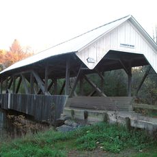
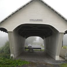
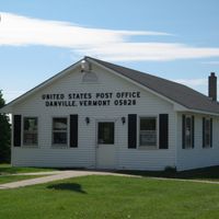
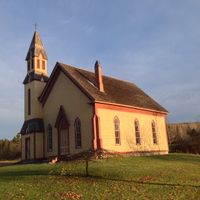
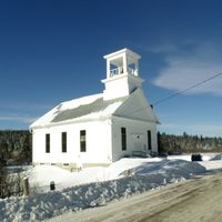
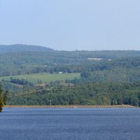
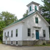
Caledonia County, Administrative county in northeastern Vermont, US

Description

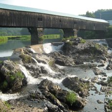
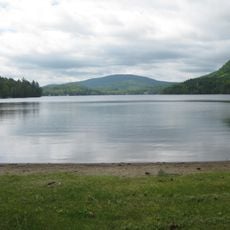
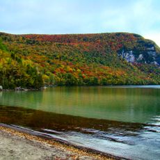
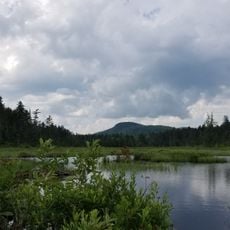
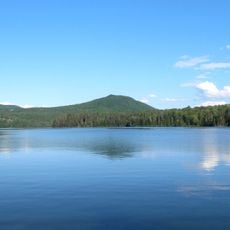
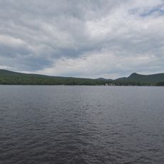
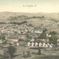
Caledonia County is an administrative county in northeastern Vermont. The Passumpsic River flows through this territory before merging with the Connecticut River, which forms its southeastern edge.

History

The county was established in November 1792 when the Vermont legislature divided Chittenden and Orange Counties into six new regions. This reorganization created several new administrative areas across the state.

Culture

The name comes from the Latin word for Scotland, reflecting the strong Scottish heritage of settlers who built communities here. This connection to Scottish roots remains visible today in local place names and traditions.

Practical

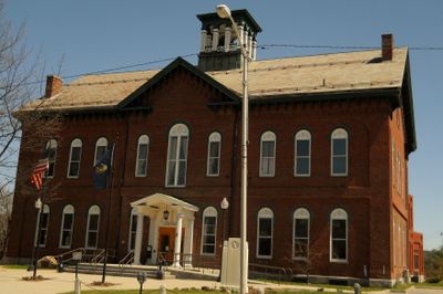
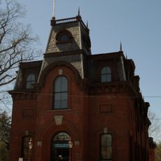
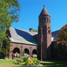
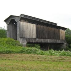
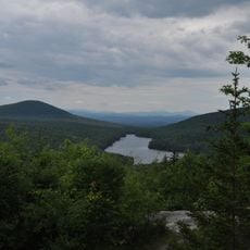
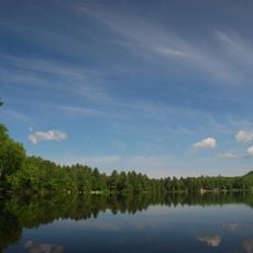
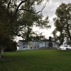
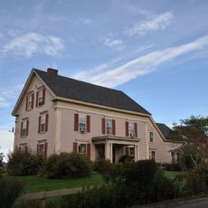
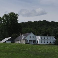
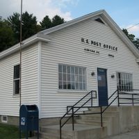
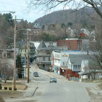
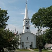
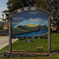
St. Johnsbury serves as the county seat and handles administrative matters for the region. The area is relatively easy to navigate and provides good access to towns and outdoor spaces.

Did you know?

The territory contains natural sulfur springs scattered across several locations including Wheelock, Haynesville, and Hardwick. These geological features remain largely overlooked by most travelers exploring the region.

Location
Inception
1792
Capital city
St. Johnsbury
Shares border with
Orleans County, Essex County, Grafton County, Washington County, Orange County, Lamoille County
GPS coordinates
44.45822,-72.09563
Latest update
December 7, 2025 19:26

AroundUs brings together thousands of curated places, local tips, and hidden gems, enriched daily by 60,000 contributors worldwide. Discover all places nearby (Vermont).

Around this place
Bath Covered Bridge
United States of America

Bath Covered Bridge

34 km
Bread and Puppet Theater
United States of America

Bread and Puppet Theater

26 km
Burke Mountain
United States of America

Burke Mountain

20.4 km
Moore Reservoir
United States of America

Moore Reservoir

22.2 km
St. Johnsbury Athenaeum
United States of America

St. Johnsbury Athenaeum

7.4 km
Fairbanks Museum and Planetarium
United States of America

Fairbanks Museum and Planetarium

7.4 km
Harvey's Lake
United States of America

Harvey's Lake

18.6 km
Dog Mountain
United States of America

Dog Mountain

9.4 km
Comerford Reservoir
United States of America

Comerford Reservoir

16.6 km
Mount Hor
United States of America

Mount Hor

28.6 km
Willoughby State Forest
United States of America

Willoughby State Forest

28.7 km
Groton State Forest
United States of America

Groton State Forest

25.6 km
Fisher Covered Railroad Bridge
United States of America

Fisher Covered Railroad Bridge

27.6 km
Kettle Pond State Park
United States of America

Kettle Pond State Park

24.9 km
Greenbanks Hollow Covered Bridge
United States of America

Greenbanks Hollow Covered Bridge

9.3 km
Crystal Lake State Park
United States of America

Crystal Lake State Park

32.6 km
Molly's Falls Pond State Park
United States of America

Molly's Falls Pond State Park

19.6 km
Ricker Pond State Park
United States of America

Ricker Pond State Park

26.8 km
New Discovery State Park
United States of America

New Discovery State Park

21.8 km
Elkins Tavern
United States of America

Elkins Tavern

16.1 km
Burklyn Hall
United States of America

Burklyn Hall

17.5 km
Stillwater State Park
United States of America

Stillwater State Park

24.4 km
Darling Estate Historic District
United States of America

Darling Estate Historic District

17.5 km
Martin Covered Bridge
United States of America

Martin Covered Bridge

31.3 km
Chamberlin Mill Covered Bridge
United States of America

Chamberlin Mill Covered Bridge

9.3 km
Whitehill House
United States of America

Whitehill House

22.4 km
Old Schoolhouse Bridge
United States of America

Old Schoolhouse Bridge

9.3 km
Caleb H. Marshall House
United States of America

Caleb H. Marshall House

7.2 km
Show the full map
« Caledonia County - Administrative county in northeastern Vermont, US » is provided by Around Us (aroundus.com). Images and texts are derived from Wikimedia project under a Creative Commons license. You are allowed to copy, distribute, and modify copies of this page, under the conditions set by the license, as long as this note is clearly visible.

Discover hidden gems everywhere you go!

From secret cafés to breathtaking viewpoints, skip the crowded tourist spots and find places that match your style. Our app makes it easy with voice search, smart filtering, route optimization, and insider tips from travelers worldwide. Download now for the complete mobile experience.

Around Us App Screenshot

A unique approach to discovering new places

Le Figaro

All the places worth exploring

France Info

A tailor-made excursion in just a few clicks

20 Minutes

Around Us
Travel Guide & Maps
Download

Send to your phone

QR Code
1

Open the camera app on your mobile.

2

Point at the QR code with your camera. A notification will appear.

3

Tap the notification to open the link.