Chest opened
+${chestReward.xp} XP
Explorer
NOUVEAU ×${chestReward.collectible.quantity}
tapez pour fermer
Chest locked

Open chests in the app

Around Us is built for your phone — chests unlock when you walk, explore and capture nearby places.

Enable Location

We need your location to show you interesting places around you

Discover nearby places

Find interesting locations and hidden gems around you

Precise directions

Get accurate directions and distances to places

Your location is never shared with other users. It's only used when you tap the location button.

Log in to your account

Start exploring — it's free

Trusted by 72,886 travelers worldwide

Continue with Google
Continue with Apple
or

We will send you a code to connect

By continuing, you accept our Terms and Conditions and our Privacy Policy

Check your inbox

We've sent a pincode in your inbox. Please enter the code below.

Discussion Reviews Photo
16.3k Popularity

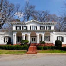
Taylors, Census-designated place in Greenville County, South Carolina.

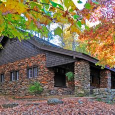
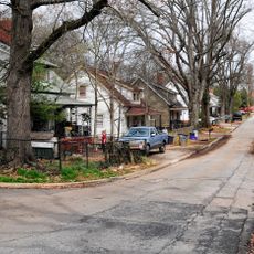
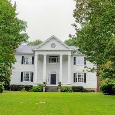
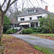
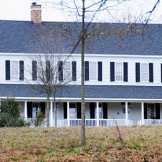
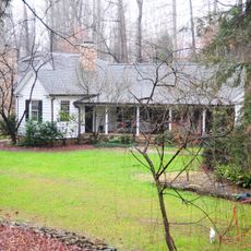
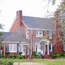
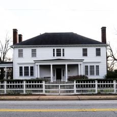
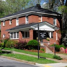
Taylors is a census-designated place in Greenville County located between Greenville and Greer, covering roughly 11 square miles of residential neighborhoods. The area sits along the Enoree River and connects quieter residential zones with nearby urban centers.

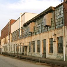
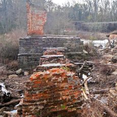
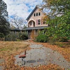
The Southern Bleachery and Print Works were founded in the early 1900s and employed over 1000 workers, transforming Taylors into an industrial center. This manufacturing legacy shaped the community's growth and structure for many decades.

The former textile mill, now called Taylors Mill, houses art studios, markets, and small businesses that serve as a local hub for trade and creative work.

Taylors sits roughly 15 minutes from downtown Greenville, making it easy to reach city services and shops. The location allows you to enjoy suburban living while staying close to larger urban amenities.

Eastside High School has built a wrestling program with multiple state titles in the early 2000s. This athletic achievement has given the school recognition across the region.

The community of curious travelers

AroundUs brings together thousands of curated places, local tips, and hidden gems, enriched daily by 60,000 contributors worldwide.

Start exploring
Elevation above the sea
284 m
GPS coordinates
34.91333,-82.31083
Latest update
December 7, 2025 19:27
Around this place
Paris Mountain State Park
United States of America

Paris Mountain State Park

5.2 km
Greenville Wildlife Park
United States of America

Greenville Wildlife Park

1259.1 km
Broad Margin
United States of America

Broad Margin

8.5 km
Isaqueena
United States of America

Isaqueena

8.1 km
Springwood Cemetery
United States of America

Springwood Cemetery

10.1 km
Roper Mountain Science Center
United States of America

Roper Mountain Science Center

8.2 km
Bob Jones University Museum and Gallery
United States of America

Bob Jones University Museum and Gallery

6.3 km
Southern Bleachery and Print Works
United States of America

Southern Bleachery and Print Works

2.1 km
Woodside Cotton Mill Village Historic District
United States of America

Woodside Cotton Mill Village Historic District

8 km
Pelham Mills Site
United States of America

Pelham Mills Site

9.9 km
Greer Post Office
United States of America

Greer Post Office

8 km
Whitehall
United States of America

Whitehall

10 km
Fountain Fox Beattie House
United States of America

Fountain Fox Beattie House

9.5 km
Arthur Barnwell House
United States of America

Arthur Barnwell House

10 km
Davis Field House
United States of America

Davis Field House

6.5 km
Gilreath's Mill
United States of America

Gilreath's Mill

7.3 km
Col. Elias Earle Historic District
United States of America

Col. Elias Earle Historic District

10 km
Davenport House
United States of America

Davenport House

8.1 km
R. Perry Turner House
United States of America

R. Perry Turner House

8.4 km
Pettigru Street Historic District
United States of America

Pettigru Street Historic District

10.1 km
Josiah Kilgore House
United States of America

Josiah Kilgore House

9.8 km
James M. Davis House
United States of America

James M. Davis House

9.8 km
William Bates House
United States of America

William Bates House

10 km
Otter Creek
United States of America

Otter Creek

6.4 km
Hugh Aiken House
United States of America

Hugh Aiken House

8.3 km
Robert G. Turner House
United States of America

Robert G. Turner House

8.5 km
Louie James House
United States of America

Louie James House

7.6 km
East Park Historic District
United States of America

East Park Historic District

9.6 km
Show the full map
Reviews
Share your experience

No review yet

Discussions
Start a discussion...

No discussion yet

« Taylors - Census-designated place in Greenville County, South Carolina » is provided by Around Us (aroundus.com). Images and texts are derived from Wikimedia project under a Creative Commons license. You are allowed to copy, distribute, and modify copies of this page, under the conditions set by the license, as long as this note is clearly visible.

Discover hidden gems everywhere you go!

From secret cafés to breathtaking viewpoints, skip the crowded tourist spots and find places that match your style. Our app makes it easy with voice search, smart filtering, route optimization, and insider tips from travelers worldwide. Download now for the complete mobile experience.

Around Us App Screenshot

A unique approach to discovering new places

Le Figaro

All the places worth exploring

France Info

A tailor-made excursion in just a few clicks

20 Minutes

Around Us
Travel Guide & Maps
Download

Send to your phone

QR Code
1

Open the camera app on your mobile.

2

Point at the QR code with your camera. A notification will appear.

3

Tap the notification to open the link.