
Mannington, city in West Virginia, United States
Location: Marion County
Elevation above the sea: 297 m
Website: https://cityofmannington.com
GPS coordinates: 39.52722,-80.33972
Latest update: March 10, 2025 06:09
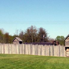
Prickett's Fort State Park
20.8 km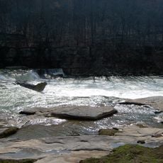
Valley Falls State Park
26.6 km
High Gate
17.1 km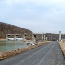
Opekiska Lock and Dam
25.2 km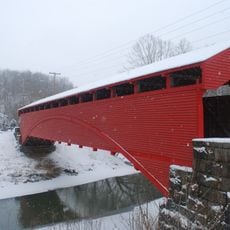
Barrackville Covered Bridge
14.9 km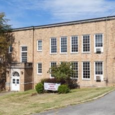
Dunbar School
17.2 km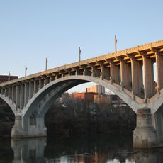
Robert H. Mollohan-Jefferson Street Bridge
17.8 km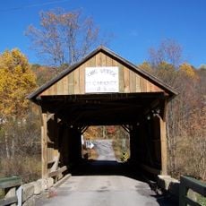
King Covered Bridge
26.2 km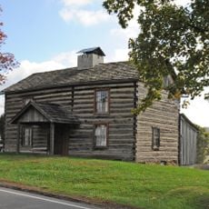
Levi Shinn House
16.2 km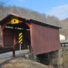
Fish Creek Covered Bridge
18.8 km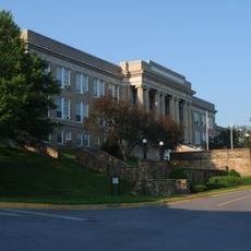
Fairmont Normal School Administration Building
16.2 km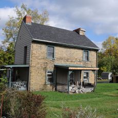
Shinnston Historic District
15 km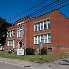
Wilson School
467 m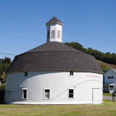
Hamilton Round Barn
1.1 km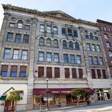
Jacobs-Hutchinson Block
17.4 km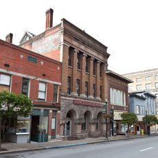
Fairmont Downtown Historic District
17.5 km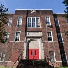
Thomas C. Miller Public School
17.5 km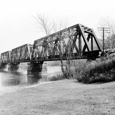
Fairmont Railroad Bridge
17.8 km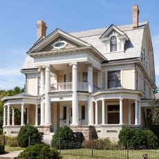
Fleming-Watson Historic District
17.6 km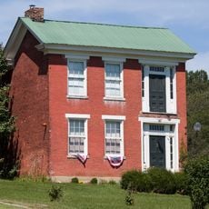
George Pinkney Morgan House
21 km
Thomas W. Fleming House
17.5 km
Shaw House
18.5 km
Clelland House
21.9 km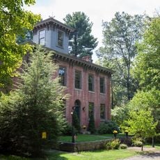
Old Watson Homestead House
25.4 km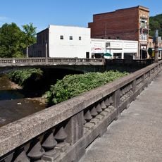
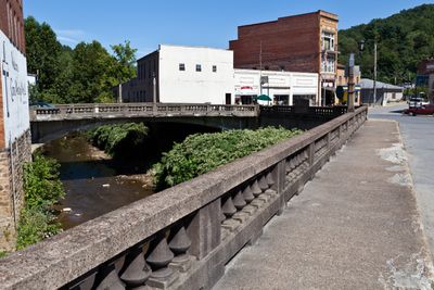
Mannington Historic District
427 m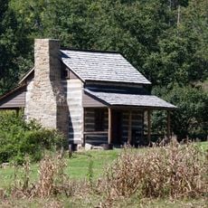
Jacob Prickett, Jr. Log House
20.5 km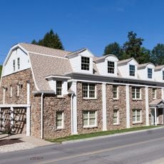
Colonial Apartments
15.8 km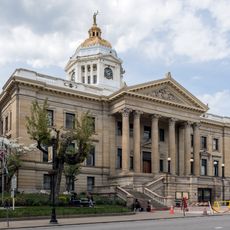
Marion County Courthouse
17.5 kmVisited this place? Tap the stars to rate it and share your experience / photos with the community! Try now! You can cancel it anytime.
Discover hidden gems everywhere you go!
From secret cafés to breathtaking viewpoints, skip the crowded tourist spots and find places that match your style. Our app makes it easy with voice search, smart filtering, route optimization, and insider tips from travelers worldwide. Download now for the complete mobile experience.

A unique approach to discovering new places❞
— Le Figaro
All the places worth exploring❞
— France Info
A tailor-made excursion in just a few clicks❞
— 20 Minutes