Marion County

Log in to your account

AroundUs is a community-driven map of interesting places, built by curious explorers like you. It grows with every review, story, and photo you share.
Connect to save your favorite spots, contribute locations, and create personalized routes.
Continue with Google
Continue with Apple
Continue with X
Continue with Facebook
Continue with email
By continuing, you accept our Terms and Conditions and our Privacy Policy
Create an account
Add to collection
Map
Suggest a change
Share

Marion County, Administrative division in north central West Virginia, United States

Marion County is an administrative region in north central West Virginia that encompasses mountains, valleys, and rivers. The area extends across rolling terrain and is governed from the city of Fairmont.

Marion County was formed in 1842 when the Virginia Assembly separated the area from neighboring counties. It was named after General Francis Marion, a figure from the American Revolutionary War.

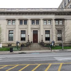
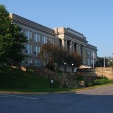
The Marion County Historical Museum holds objects and documents that tell how the region developed over many generations. Visitors can trace the stories of local families and the crafts that people practiced here.

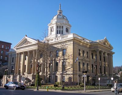
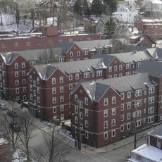
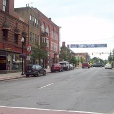
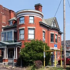
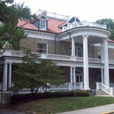
The county seat of Fairmont offers essential services and is the main hub for administrative matters. Visitors will find museums, restaurants, and lodging there for a half-day to full-day visit.

The Farmington No. 9 Mine Disaster Memorial marks a tragic accident that shaped the region's coal mining heritage. The monument honors the workers and preserves memory of this dangerous industry.

Location: West Virginia

Inception: January 14, 1842

Capital city: Fairmont

Shares border with: Monongalia County, Taylor County, Harrison County, Wetzel County

Website: http://marioncountywv.com

GPS coordinates: 39.51000,-80.24000

Latest update: December 7, 2025 10:08

Photos
Around this place
Prickett's Fort State Park
United States of America

Prickett's Fort State Park

12.2 km
United States of America

Mountaineer Field

28.2 km
Woodburn Circle
United States of America

Woodburn Circle

27.8 km
Valley Falls State Park
United States of America

Valley Falls State Park

18.7 km
Mountainlair
United States of America

Mountainlair

28.2 km
High Gate
United States of America

High Gate

8.5 km
United States of America

Old Stone House

27.7 km
Opekiska Lock and Dam
United States of America

Opekiska Lock and Dam

17.4 km
Barrackville Covered Bridge
United States of America

Barrackville Covered Bridge

6.2 km
Boreman Hall
United States of America

Boreman Hall

28.2 km
Downtown Morgantown Historic District
United States of America

Downtown Morgantown Historic District

27.7 km
Monongalia County Courthouse
United States of America

Monongalia County Courthouse

27.7 km
Oglebay Hall
United States of America

Oglebay Hall

28.3 km
Stewart Hall
United States of America

Stewart Hall

28.1 km
Warner Theatre
United States of America

Warner Theatre

27.6 km
Elizabeth Moore Hall
United States of America

Elizabeth Moore Hall

28.1 km
Morgantown Lock and Dam
United States of America

Morgantown Lock and Dam

26.4 km
Walters House
United States of America

Walters House

28.1 km
Alexander Wade House
United States of America

Alexander Wade House

27.3 km
Dunbar School
United States of America

Dunbar School

8.4 km
Dents Run Covered Bridge
United States of America

Dents Run Covered Bridge

21.3 km
Monongalia Arts Center
United States of America

Monongalia Arts Center

27.5 km
Robert H. Mollohan-Jefferson Street Bridge
United States of America

Robert H. Mollohan-Jefferson Street Bridge

9.1 km
Purinton House
United States of America

Purinton House

28.1 km
South Park Historic District
United States of America

South Park Historic District

27.7 km
Fairmont Normal School Administration Building
United States of America

Fairmont Normal School Administration Building

7.5 km
Kern's Fort
United States of America

Kern's Fort

28 km
Men's Hall
United States of America

Men's Hall

28.2 km
Show the full map
Reviews

Visited this place? Tap the stars to rate it and share your experience / photos with the community! Try now! You can cancel it anytime.

« Marion County - Administrative division in north central West Virginia, United States » is provided by Around Us (aroundus.com). Images and texts are derived from Wikimedia project under a Creative Commons license. You are allowed to copy, distribute, and modify copies of this page, under the conditions set by the license, as long as this note is clearly visible.

Discover hidden gems everywhere you go!

From secret cafés to breathtaking viewpoints, skip the crowded tourist spots and find places that match your style. Our app makes it easy with voice search, smart filtering, route optimization, and insider tips from travelers worldwide. Download now for the complete mobile experience.

Around Us App Screenshot

A unique approach to discovering new places

Le Figaro

All the places worth exploring

France Info

A tailor-made excursion in just a few clicks

20 Minutes