
Irene, city in Clay, Turner, and Yankton counties in South Dakota, United States
Location: Clay County
Location: Turner County
Location: Yankton County
Inception: 1895
Elevation above the sea: 418 m
Website: https://www.irenesd.com/
Website: https://irenesd.com
GPS coordinates: 43.08361,-97.15667
Latest update: May 10, 2025 16:50
Yankton College
29.5 km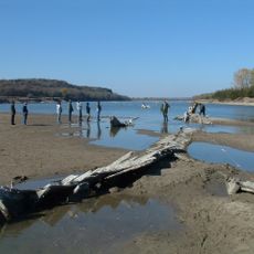
Missouri National Recreational River
31.2 km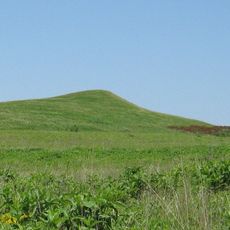
Spirit Mound Historic Prairie
28.3 km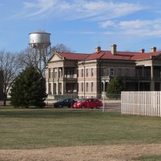
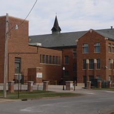
Human Services Center
29 km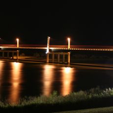
Discovery Bridge
31.2 km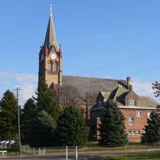
Immaculate Conception Catholic Church and Rectory
31.4 km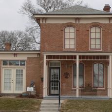
Governor John L. Pennington House
30.2 km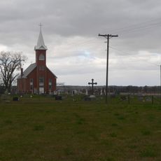
St. Agnes Church
22.1 km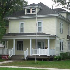
Governor William J. Bulow House
30.9 km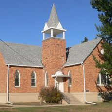
United Church of Christ
20.4 km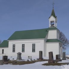
Vangen Church
19.6 km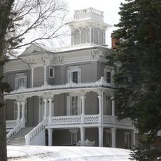
Ohlman-Shannon House
31.1 km
Sample–Lindblaum House
8.8 km
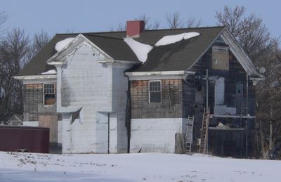
Aggergaard Manor
300 m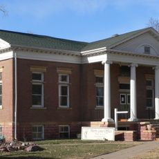
Yankton Carnegie Library
30.3 km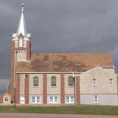
Martin's Evangelical Church
23.4 km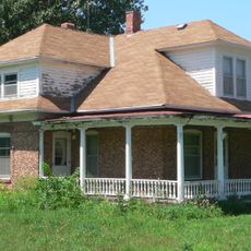
Van Osdel House
20.8 km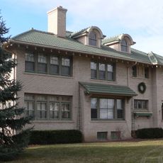
William J. Fantle House
29.5 km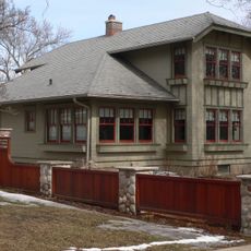
Harold A. Doyle House
31 km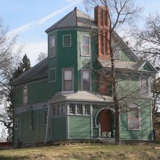
Burns House
29.7 km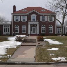
Dr. John Trierweiler House
31.1 km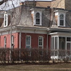
Bishop Marty Rectory
31.3 km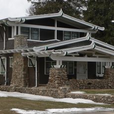
Dr. B.M. Banton House
30.7 km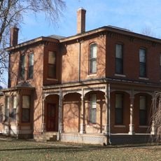
Bruce-Donaldson House
30.3 km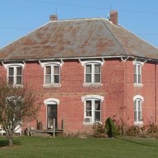
William Andre House
25.1 km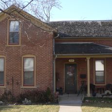
Fred Schnauber House
30.1 km
South Dakota Department of Transportation Bridge No. 63-210-282
14.4 km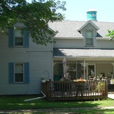
DeJong House
30.1 kmReviews
Visited this place? Tap the stars to rate it and share your experience / photos with the community! Try now! You can cancel it anytime.
Discover hidden gems everywhere you go!
From secret cafés to breathtaking viewpoints, skip the crowded tourist spots and find places that match your style. Our app makes it easy with voice search, smart filtering, route optimization, and insider tips from travelers worldwide. Download now for the complete mobile experience.

A unique approach to discovering new places❞
— Le Figaro
All the places worth exploring❞
— France Info
A tailor-made excursion in just a few clicks❞
— 20 Minutes