Chest opened
+${chestReward.xp} XP
Explorer
NOUVEAU ×${chestReward.collectible.quantity}
tapez pour fermer
Chest locked

Open chests in the app

Around Us is built for your phone — chests unlock when you walk, explore and capture nearby places.

Enable Location

We need your location to show you interesting places around you

Discover nearby places

Find interesting locations and hidden gems around you

Precise directions

Get accurate directions and distances to places

Your location is never shared with other users. It's only used when you tap the location button.

Timms Hill

Log in to your account

Start exploring — it's free

Trusted by 72,887 travelers worldwide

Continue with Google
Continue with Apple
or

We will send you a code to connect

By continuing, you accept our Terms and Conditions and our Privacy Policy

Check your inbox

We've sent a pincode in your inbox. Please enter the code below.

Timms Hill
Discussion Reviews 1 Photos
32k Popularity

Timms Hill, Highest natural point in Price County, Wisconsin

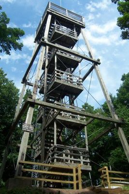
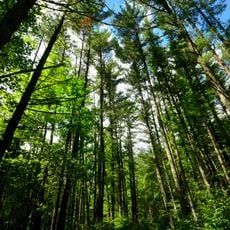
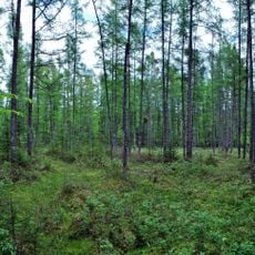
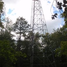
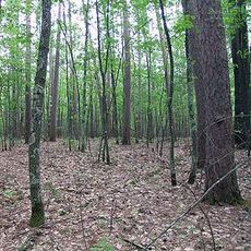
Timms Hill is the highest natural point in Price County, Wisconsin, rising above the surrounding landscape. The summit is covered with northern hardwood forests and features hiking trails along with an observation tower for visitors.

Timms Hill was confirmed as Wisconsin's highest natural point through a survey conducted in 1962. This measurement established its official status in geographic records for future reference.

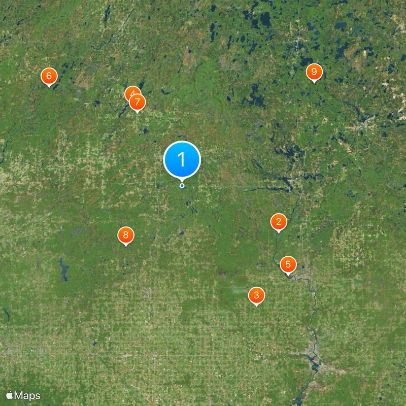
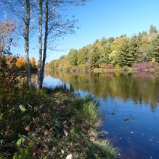
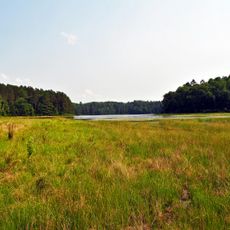
The hill serves as a geographical marker within the Ice Age Trail system, connecting visitors to Wisconsin's glacial landscape through a 10-mile path.

The observation tower at the summit is accessible via maintained hiking trails, with parking available at Timms Hill County Park. Visitors should prepare for changing forest cover and varying trail surfaces along the way.

From the observation platform, visitors can spot Rib Mountain roughly 70 kilometers to the southeast on clear days. This distant view emphasizes the isolated elevation and the vast scale of the Wisconsin landscape.

The community of curious travelers

AroundUs brings together thousands of curated places, local tips, and hidden gems, enriched daily by 60,000 contributors worldwide.

Start exploring
Location
Elevation above the sea
594.8 m
GPS coordinates
45.45088,-90.19540
Latest update
December 20, 2025 00:50
Around this place
Grandfather Falls
United States of America

Grandfather Falls

35.6 km
Fromm Brothers Fur and Ginseng Farm
United States of America

Fromm Brothers Fur and Ginseng Farm

47 km
Lidice Memorial
United States of America

Lidice Memorial

31.7 km
Council Grounds State Park
United States of America

Council Grounds State Park

46.1 km
Flambeau River State Forest
United States of America

Flambeau River State Forest

55.3 km
Wisconsin Concrete Park
United States of America

Wisconsin Concrete Park

28.7 km
Twin Lakes Bog State Natural Area
United States of America

Twin Lakes Bog State Natural Area

27.4 km
Wind Pudding Lake State Natural Area
United States of America

Wind Pudding Lake State Natural Area

55.8 km
T.B. Scott Free Library
United States of America

T.B. Scott Free Library

49.1 km
Lincoln County Courthouse
United States of America

Lincoln County Courthouse

50.1 km
Merrill City Hall
United States of America

Merrill City Hall

49.7 km
Jersey City Flowage
United States of America

Jersey City Flowage

35.1 km
Fifield Fire Lookout Tower
United States of America

Fifield Fire Lookout Tower

49.5 km
First National Bank
United States of America

First National Bank

64.6 km
First Street Bridge (Merrill, Wisconsin)
United States of America

First Street Bridge (Merrill, Wisconsin)

49 km
Woodland Hotel
United States of America

Woodland Hotel

62.9 km
Fifield Town Hall
United States of America

Fifield Town Hall

50.6 km
Jump River Town Hall
United States of America

Jump River Town Hall

48.7 km
Medford Free Public Library
United States of America

Medford Free Public Library

37.1 km
Taylor County Courthouse
United States of America

Taylor County Courthouse

36.7 km
Torpy Park Beach
United States of America

Torpy Park Beach

60.4 km
Finnerud Forest Scientific Area
United States of America

Finnerud Forest Scientific Area

57.2 km
Edgar Steam Show
United States of America

Edgar Steam Show

63.4 km
Sara Park Beach
United States of America

Sara Park Beach

35.5 km
Mondeaux Dam Recreation Area
United States of America

Mondeaux Dam Recreation Area

23.9 km
Kwahamot Water Ski Show
United States of America

Kwahamot Water Ski Show

36.7 km
State Theatre
United States of America

State Theatre

64.5 km
Smith Rapids Covered Bridge
United States of America

Smith Rapids Covered Bridge

51.2 km
Show the full map
Reviews
Share your experience

No review yet

Discussions
Start a discussion...

No discussion yet

« Timms Hill - Highest natural point in Price County, Wisconsin » is provided by Around Us (aroundus.com). Images and texts are derived from Wikimedia project under a Creative Commons license. You are allowed to copy, distribute, and modify copies of this page, under the conditions set by the license, as long as this note is clearly visible.

Discover hidden gems everywhere you go!

From secret cafés to breathtaking viewpoints, skip the crowded tourist spots and find places that match your style. Our app makes it easy with voice search, smart filtering, route optimization, and insider tips from travelers worldwide. Download now for the complete mobile experience.

Around Us App Screenshot

A unique approach to discovering new places

Le Figaro

All the places worth exploring

France Info

A tailor-made excursion in just a few clicks

20 Minutes

Around Us
Travel Guide & Maps
Download

Send to your phone

QR Code
1

Open the camera app on your mobile.

2

Point at the QR code with your camera. A notification will appear.

3

Tap the notification to open the link.