Enable Location

We need your location to show you interesting places around you

Discover nearby places

Find interesting locations and hidden gems around you

Precise directions

Get accurate directions and distances to places

Your location is never shared with other users. It's only used when you tap the location button.

Franklin

Log in to your account

Start exploring — it's free

Trusted by 63,004 travelers worldwide

Continue with Google
Continue with Apple
or

We will send you a code to connect

By continuing, you accept our Terms and Conditions and our Privacy Policy

Check your inbox

We've sent a pincode in your inbox. Please enter the code below.

Discussion Reviews 2 Photos
25.4k Popularity

Franklin, County seat in Simpson County, Kentucky.

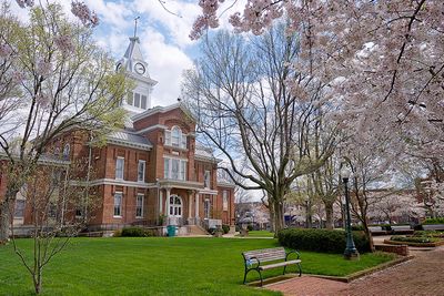
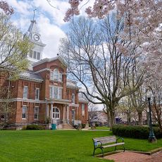
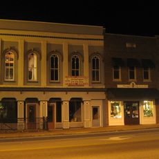
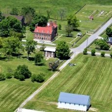
Franklin is the county seat of Simpson County, Kentucky, situated in the southern part of the state with residential and commercial sections arranged around a central town square. The location sits at about 700 feet (216 m) elevation and contains the main administrative buildings and local business establishments typical of a county seat.

The city was officially established in 1820 and became the administrative center for Simpson County's agricultural region. This early founding helped establish it as a key seat of governance for the surrounding area.

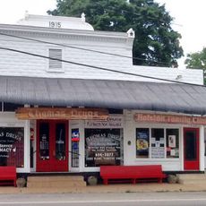
The town square serves as the gathering place for community events where residents celebrate local traditions through festivals and seasonal gatherings. These occasions reflect how people here maintain connection to their shared heritage and way of life.

The city has convenient access via Interstate 65 with direct routes to Nashville and Louisville, making it easy to reach from surrounding areas. Walking around the center is straightforward since the town square and main services are grouped together in the downtown section.

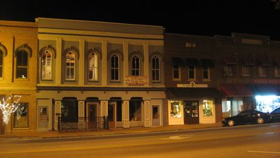
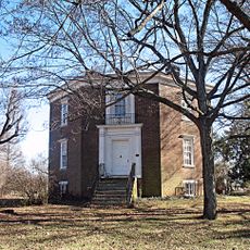
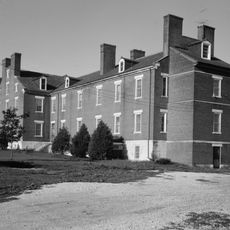
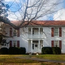
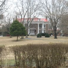
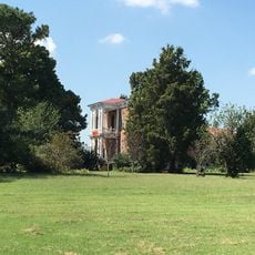
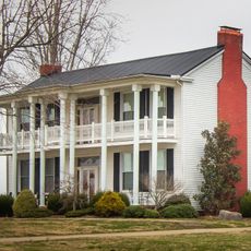
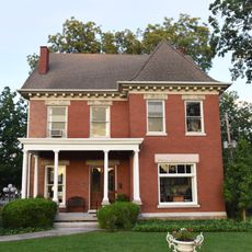
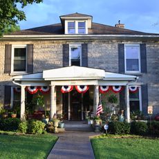
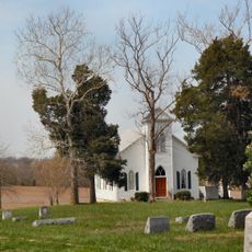
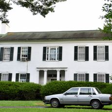
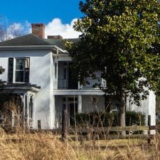
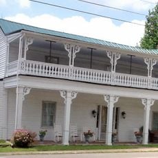
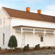
The downtown area contains several buildings from the 1800s, each showing architectural styles from different periods of construction. These preserved structures give visitors a sense of how local building traditions changed over the decades.

The community of curious travelers

AroundUs brings together thousands of curated places, local tips, and hidden gems, enriched daily by 60,000 contributors worldwide.

Start exploring
Location
Inception
1820
Elevation above the sea
216 m
GPS coordinates
36.72250,-86.57750
Latest update
December 13, 2025 16:32
Around this place
Lost River Cave
United States of America

Lost River Cave

27.3 km
Octagon Hall
United States of America

Octagon Hall

9.6 km
Red River Meeting House
United States of America

Red River Meeting House

21.2 km
Shaker Museum at South Union
United States of America

Shaker Museum at South Union

19 km
South Union Shaker Center House and Preservatory
United States of America

South Union Shaker Center House and Preservatory

19 km
Simpson County Courthouse
United States of America

Simpson County Courthouse

74 m
Cornsilk
United States of America

Cornsilk

10.9 km
McCutchen Meadows
United States of America

McCutchen Meadows

19.1 km
United States of America

Hampton Hall

10.3 km
Sudley Place
United States of America

Sudley Place

23 km
Longview Farm House
United States of America

Longview Farm House

22.7 km
Goodnight House
United States of America

Goodnight House

169 m
Hargis House
United States of America

Hargis House

299 m
Pleasant Run Methodist Church
United States of America

Pleasant Run Methodist Church

19.6 km
The Cedars
United States of America

The Cedars

1.8 km
Rock Jolly
United States of America

Rock Jolly

16.5 km
Franklin Downtown Commercial District
United States of America

Franklin Downtown Commercial District

104 m
William Randolph House
United States of America

William Randolph House

22.2 km
United States of America

Red River Presbyterian Meetinghouse Site and Cemetery

21.2 km
Moye Boarding House
United States of America

Moye Boarding House

16.6 km
United States of America

Edward and Julia Satterfield House

26.1 km
South Union Shaker Village
United States of America

South Union Shaker Village

18.9 km
Thomas Drugs
United States of America

Thomas Drugs

22.1 km
United States of America

Olde Stone Golf Course

27.1 km
United States of America

Olde Stone Golf Course

26.5 km
United States of America

Kenny Perry's Country Creek Golf Course

4.7 km
United States of America

Butterfly House

27.2 km
United States of America

Lost River Cave Entrance

27.4 km
Show the full map
Reviews
Share your experience

No review yet

Discussions
Start a discussion...

No discussion yet

« Franklin - County seat in Simpson County, Kentucky » is provided by Around Us (aroundus.com). Images and texts are derived from Wikimedia project under a Creative Commons license. You are allowed to copy, distribute, and modify copies of this page, under the conditions set by the license, as long as this note is clearly visible.

Discover hidden gems everywhere you go!

From secret cafés to breathtaking viewpoints, skip the crowded tourist spots and find places that match your style. Our app makes it easy with voice search, smart filtering, route optimization, and insider tips from travelers worldwide. Download now for the complete mobile experience.

Around Us App Screenshot

A unique approach to discovering new places

Le Figaro

All the places worth exploring

France Info

A tailor-made excursion in just a few clicks

20 Minutes

Around Us
Travel Guide & Maps
Download

Send to your phone

QR Code
1

Open the camera app on your mobile.

2

Point at the QR code with your camera. A notification will appear.

3

Tap the notification to open the link.