
Whiting, town in Addison County, Vermont, United States
Location: Addison County
Inception: August 6, 1763
Elevation above the sea: 52 m
GPS coordinates: 43.87200,-73.19974
Latest update: June 13, 2025 19:26
Hyde's Hotel
9.8 km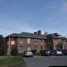
Brandon State School
9.9 km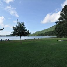
Branbury State Park
11.4 km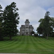
Shard Villa
8.4 km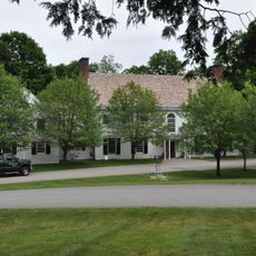
Southern Vermont Arts Center
7.5 km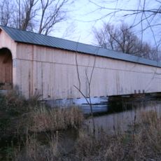
Cedar Swamp Covered Bridge
5.5 km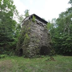
Forest Dale Iron Furnace
12.9 km
Vermont Experimental Cold-Hardy Cactus Garden
12.8 km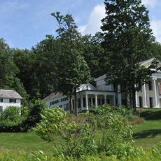
Wilcox-Cutts House
13 km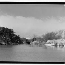
East Shoreham Covered Railroad Bridge
4.7 km
Hand's Cove
13.3 km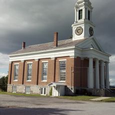
Shoreham Congregational Church
8.7 km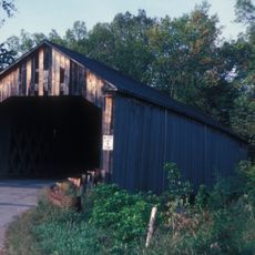
Sanderson Covered Bridge
11.6 km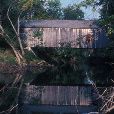
Dean Covered Bridge
13.2 km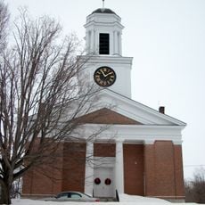
First Congregational Church
11.1 km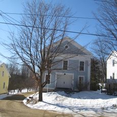
Salisbury Town Hall
8.3 km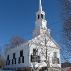
Salisbury Congregational Church
8.3 km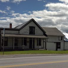
Cornwall General Store
10 km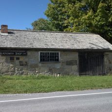
Old Stone Blacksmith Shop
11.8 km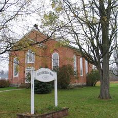
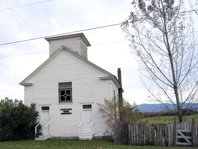
Leicester Meeting House
7.3 km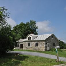
District Six Schoolhouse
10.2 km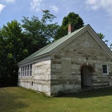
Sudbury School No. 3
8.4 km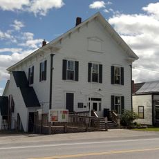
Cornwall Town Hall
10 km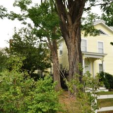
First Congregational Church of Cornwall Parsonage
9.9 km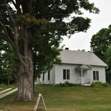
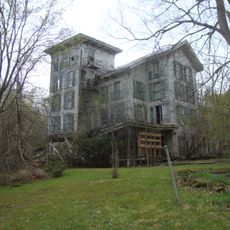
Fenn Farm
14.2 km
Salisbury Fish Hatchery
10.2 km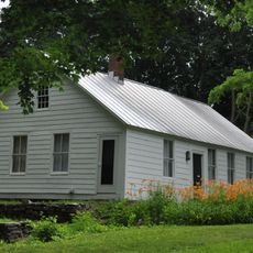
House at 215 School Street
9.5 km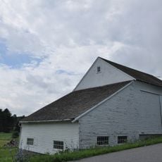
Witherell Farm
11.3 kmReviews
Visited this place? Tap the stars to rate it and share your experience / photos with the community! Try now! You can cancel it anytime.
Discover hidden gems everywhere you go!
From secret cafés to breathtaking viewpoints, skip the crowded tourist spots and find places that match your style. Our app makes it easy with voice search, smart filtering, route optimization, and insider tips from travelers worldwide. Download now for the complete mobile experience.

A unique approach to discovering new places❞
— Le Figaro
All the places worth exploring❞
— France Info
A tailor-made excursion in just a few clicks❞
— 20 Minutes