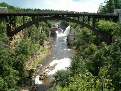
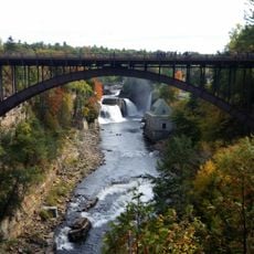
Ausable River, River system in Adirondack Mountains, United States.
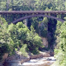
The Ausable River is a river system in the Adirondack Mountains of New York State, made up of two main branches that join at Au Sable Forks before flowing east into Lake Champlain. Along its course, the water passes through rocky gorges, open valleys, and dense forest as it descends from the High Peaks region.
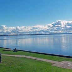
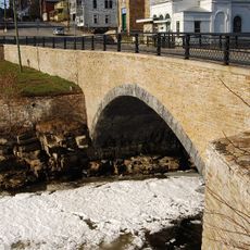
French explorers gave this river its name from the sandy delta where it meets Lake Champlain, and the name translates literally to 'sand river'. In the 19th century, sawmills and other water-powered operations were built along its banks, driving the growth of nearby towns.
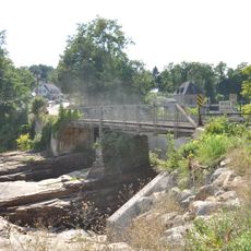
The Ausable River is known among fly fishers across the country as one of the best trout streams in the northeastern US. Along the banks, you will often see anglers standing in shallow water, reading the current and casting into the pools between rocks.
Several pullouts and access points along Route 86 make it easy to reach different parts of the river for fishing or walking along the banks. Water levels can rise quickly after rain, so sturdy footwear and some caution near the water are always a good idea.
The Ausable River was among the first rivers in the US to receive special fly-fishing-only regulations, with certain sections designated as catch-and-release zones for decades. This has kept the trout population in some stretches of the river unusually dense compared to most other waterways in the region.
The community of curious travelers
AroundUs brings together thousands of curated places, local tips, and hidden gems, enriched daily by 60,000 contributors worldwide.