Park Rapids, city in Minnesota, United States
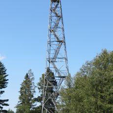
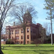
Park Rapids is a small city in northern Minnesota surrounded by lakes and forests, serving as a base for outdoor exploration. The downtown area contains shops and restaurants within walking distance, while the surrounding region offers fishing, boating, trails for hiking and biking, and access to forest lands.
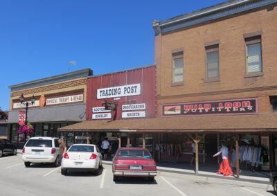
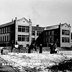
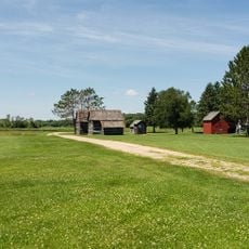
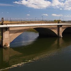
Park Rapids developed in the 1800s as a trading post for loggers who worked the abundant forests of the region. The river and its rapids were essential for transporting cut timber, shaping both the town's early growth and its name.
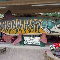
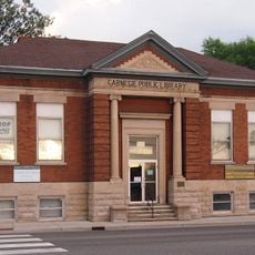
Park Rapids takes its name from the river rapids that once drew log drivers to the area. This heritage shows today in local shops and restaurants that display handmade crafts and regional traditions, inviting visitors to experience how residents connect with their lakes and forests.
Most places in the city are easily accessible on foot or by car, and visitors can rent boats or bicycles to explore the lakes and surrounding countryside. Activities are seasonal, with summer ideal for swimming and boating, while winter allows for ice fishing and snowshoeing.
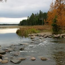
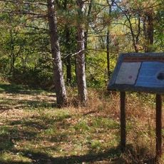
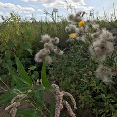
The area around Park Rapids is part of the Chippewa National Forest and contains numerous lakes that often go unnoticed compared to more famous Minnesota lakes. Many of these smaller lakes offer quieter fishing and less crowded conditions than better-known destinations.
The community of curious travelers
AroundUs brings together thousands of curated places, local tips, and hidden gems, enriched daily by 60,000 contributors worldwide.