Itasca State Park, State park with Mississippi River source in Clearwater County, Minnesota.
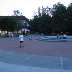
Itasca State Park is a large park in northern Minnesota that features old-growth pine forests, several lakes, and numerous walking trails through different natural landscapes. Visitors also find camping areas, boat rental options, and educational programs about local ecology available year-round.
The park was established in 1891 as Minnesota's first state park, marking an important moment in the state's conservation history. Henry Schoolcraft's discovery of the Mississippi River source in 1832 was a key factor that later led to protecting this location.
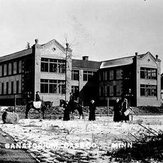
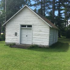
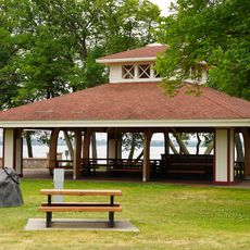
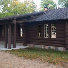
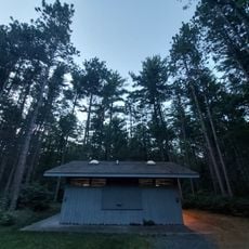
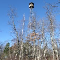
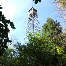
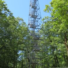
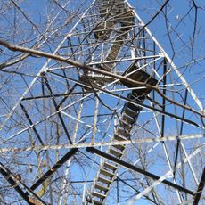
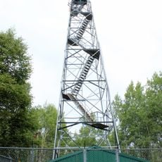
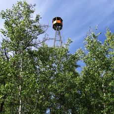
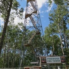
The buildings you see throughout the park reflect how people in the early 1900s thought about protecting nature through rustic design. Walking past these structures, you notice how they blend into the forest setting rather than standing out against it.
The park is open year-round with over 160 kilometers of trails suited for different walking levels. Camping and boating are popular activities, with the warmer months offering the most comfortable conditions and full access to all facilities.
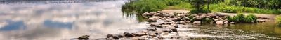
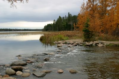
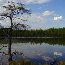
At the headwaters you can cross the Mississippi by stepping on rocks where the river begins its long journey southward. This simple experience shows how modest the start of one of North America's largest rivers really is.
The community of curious travelers
AroundUs brings together thousands of curated places, local tips, and hidden gems, enriched daily by 60,000 contributors worldwide.