
St. Olaf, human settlement in Clayton County, Iowa, United States of America
Location: Clayton County
Inception: 1872
Elevation above the sea: 261 m
GPS coordinates: 42.92778,-91.38722
Latest update: March 3, 2025 19:29

Pikes Peak State Park
19.8 km
Montauk
23.1 km
Pile–Pontoon Railroad Bridge
21.5 km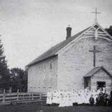
St. Joseph's Catholic Church
8.6 km
Peter Stauer House
19.5 km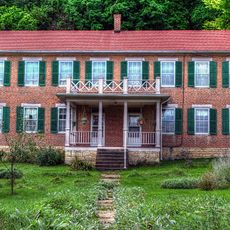
Schmidt House
8.5 km
Motor Mill Historic District
13.8 km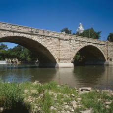
Elkader Keystone Bridge
8.2 km
Elkader Opera House
8.2 km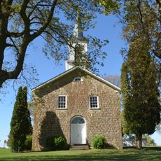
St. Peters United Evangelical Lutheran Church
20.1 km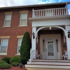
Timothy Davis House
8.1 km
Clayton County Courthouse
8.2 km
Elkader Downtown Historic District
8.3 km
Red Bridge
22.8 km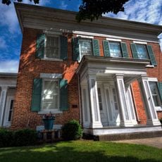
Carter House
8.2 km
J.C. Stemmer House
8.4 km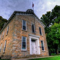
Clayton School
19.9 km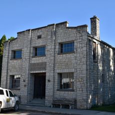
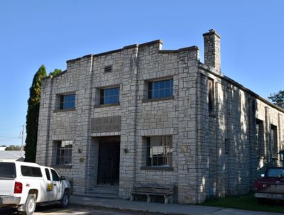
St. Olaf Auditorium
78 m
Mederville Bridge
18.5 km
Goedert Meat Market
20.1 km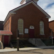
First Congregational Church
13.9 km
Joseph "Diamond Jo" Reynolds Office Building and House
20.4 km
Turner Hall
23 km
McGregor Commercial Historic District
20.3 km
I.O.O.F. Hall
14 km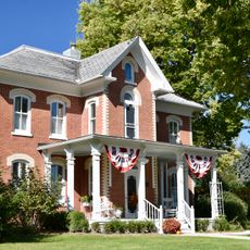
Rialto Price House
8.3 km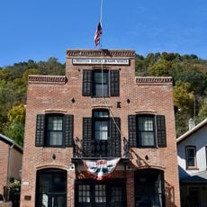
Christian Bloedel Wagon Works
19.7 km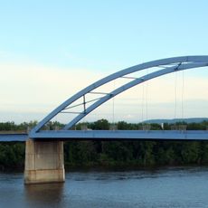
Marquette–Joliet Bridge
21.5 kmReviews
Visited this place? Tap the stars to rate it and share your experience / photos with the community! Try now! You can cancel it anytime.
Discover hidden gems everywhere you go!
From secret cafés to breathtaking viewpoints, skip the crowded tourist spots and find places that match your style. Our app makes it easy with voice search, smart filtering, route optimization, and insider tips from travelers worldwide. Download now for the complete mobile experience.

A unique approach to discovering new places❞
— Le Figaro
All the places worth exploring❞
— France Info
A tailor-made excursion in just a few clicks❞
— 20 Minutes