
Pantego, human settlement in Beaufort County, North Carolina, United States of America
Location: Beaufort County
Elevation above the sea: 1 m
GPS coordinates: 35.58583,-76.65972
Latest update: March 4, 2025 03:06

Goose Creek State Park
26.2 km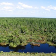
Pocosin Lakes National Wildlife Refuge
22.8 km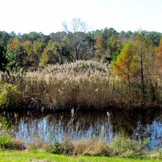
Mattamuskeet National Wildlife Refuge
42.7 km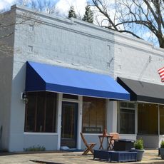
Bath Historic District
18.6 km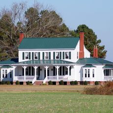
Grimesland Plantation
46.1 km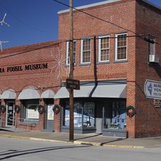
Aurora Fossil Museum
33.3 km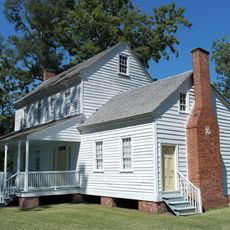
Bonner House
18.8 km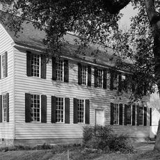
Palmer-Marsh House
18.5 km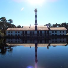
Lake Mattamuskeet Pump Station
46.4 km
Trinity Episcopal Church
42.3 km
Latham House
32.3 km
Williamston Colored School
46.4 km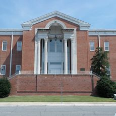
Beaufort County Courthouse
36.1 km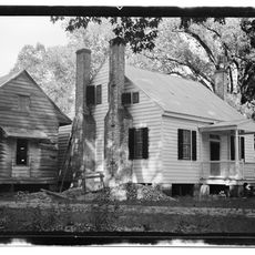
Belgrade and St. David's Church
40.4 km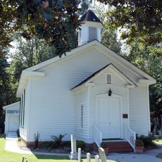
Zion Episcopal Church
25.9 km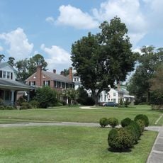
North Market Street Historic District
35.4 km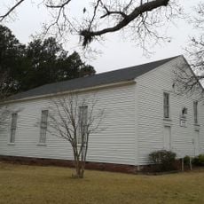
Skewarkey Primitive Baptist Church
46.3 km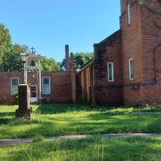
Aurora Fossil Museum
33.4 km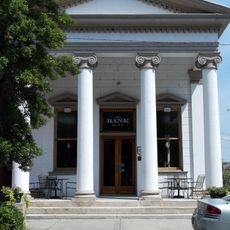
Bank of Washington, West End Branch
36.3 km
Bowers-Tripp House
35.4 km
Perry-Spruill House
32 km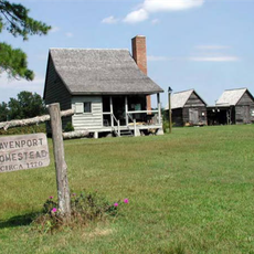
Davenport House
36.6 km
Ware Creek School
31.3 km
George V. Credle House and Cemetery
30.2 km
Creswell Historic District
39.7 km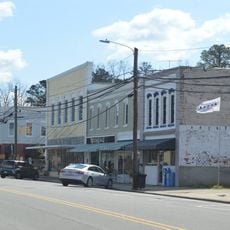
Belhaven Commercial Historic District
6.4 km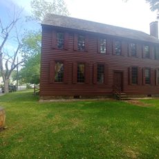
North Carolina Historic Bath
18.3 km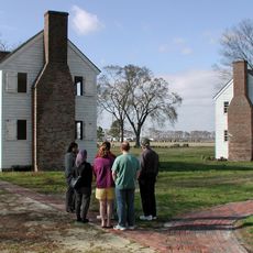
Somerset Place State Historic Site
32.4 kmReviews
Visited this place? Tap the stars to rate it and share your experience / photos with the community! Try now! You can cancel it anytime.
Discover hidden gems everywhere you go!
From secret cafés to breathtaking viewpoints, skip the crowded tourist spots and find places that match your style. Our app makes it easy with voice search, smart filtering, route optimization, and insider tips from travelers worldwide. Download now for the complete mobile experience.

A unique approach to discovering new places❞
— Le Figaro
All the places worth exploring❞
— France Info
A tailor-made excursion in just a few clicks❞
— 20 Minutes