Enable Location

We need your location to show you interesting places around you

Discover nearby places

Find interesting locations and hidden gems around you

Precise directions

Get accurate directions and distances to places

Your location is never shared with other users. It's only used when you tap the location button.

Boiling Springs

Log in to your account

Join the adventure

Create your free account and start exploring (like 60k+ others)

We will send you a code to connect

or
Continue with Google
Continue with Apple
By continuing, you accept our Terms and Conditions and our Privacy Policy

Check your inbox

We've sent a pincode in your inbox. Please enter the code below.

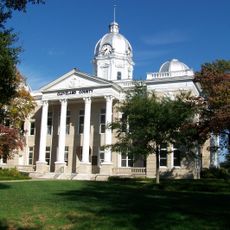
Boiling Springs, Administrative division in North Carolina, United States.

Description

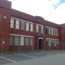
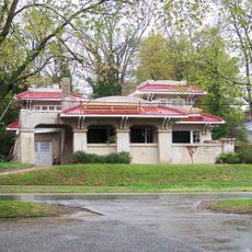
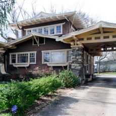
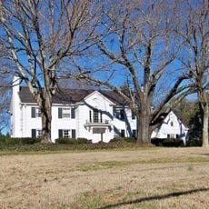
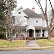
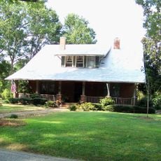
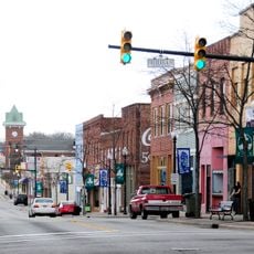
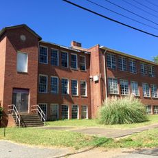
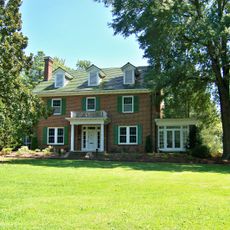
Boiling Springs is a town in Cleveland County, North Carolina, connected to nearby communities via Highway 150 and featuring a residential layout with local government services. The area includes educational facilities that have been part of the community for generations.

History

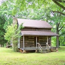
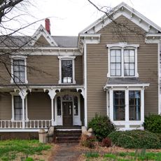
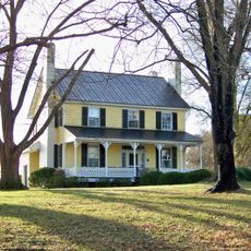
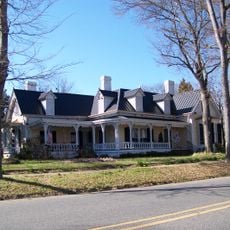
The settlement began in 1843 around natural springs, with early families establishing homes and laying the foundation for community growth. Official incorporation took place in 1911, marking a formal shift in how the town was organized and governed.

Culture

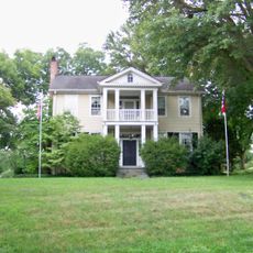
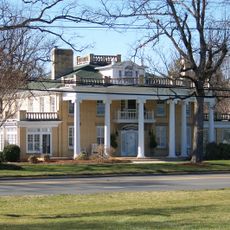
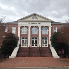
Gardner-Webb University shapes daily life here, having grown from a school founded in 1905 that drew students from across the region. The campus remains central to how residents and visitors move through and experience the town.

Practical

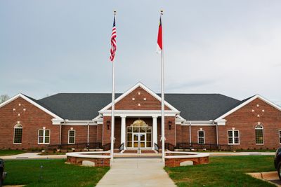
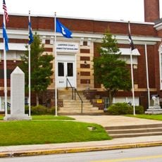
The town office on East College Avenue handles resident services like garbage collection and bill payments, with online options available for convenience. The area is easily accessible by car, and it helps to check local facility hours before planning a visit.

Did you know?

When incorporated in 1911, the town's boundaries were drawn using a circular method centered on the school bell tower rather than following typical straight lines. This unusual approach created a distinctive geographical shape that visitors can still observe today.

Location
Elevation above the sea
278 m
GPS coordinates
35.25170,-81.66420
Latest update
December 7, 2025 10:08

AroundUs brings together thousands of curated places, local tips, and hidden gems, enriched daily by 60,000 contributors worldwide. Discover all places nearby (Cleveland County).

Around this place
Peachoid
United States of America

Peachoid

17.5 km
Webbley
United States of America

Webbley

12.1 km
Cleveland County Courthouse
United States of America

Cleveland County Courthouse

12.2 km
Historic Campbell Building
United States of America

Historic Campbell Building

12.2 km
James Heyward Hull House
United States of America

James Heyward Hull House

12.6 km
Banker's House
United States of America

Banker's House

12.3 km
Masonic Temple Building
United States of America

Masonic Temple Building

11.9 km
Irvin-Hamrick Log House
United States of America

Irvin-Hamrick Log House

4.4 km
Joshua Beam House
United States of America

Joshua Beam House

19.3 km
George Sperling House and Outbuildings
United States of America

George Sperling House and Outbuildings

14.6 km
Jefferies House
United States of America

Jefferies House

20.1 km
Carnegie Free Library
United States of America

Carnegie Free Library

19.9 km
Central Shelby Historic District
United States of America

Central Shelby Historic District

11.8 km
Joseph Suttle House
United States of America

Joseph Suttle House

7.3 km
Dr. Victor McBrayer House
United States of America

Dr. Victor McBrayer House

12.1 km
E. B. Hamrick Hall
United States of America

E. B. Hamrick Hall

437 m
Alexander Manufacturing Company Mill Village Historic District
United States of America

Alexander Manufacturing Company Mill Village Historic District

18.6 km
Magness-Humphries House
United States of America

Magness-Humphries House

13 km
East Main Street Historic District
United States of America

East Main Street Historic District

19.5 km
West Warren Street Historic District
United States of America

West Warren Street Historic District

11.7 km
Settlemyer House
United States of America

Settlemyer House

19.2 km
T. Max Watson House
United States of America

T. Max Watson House

19.9 km
Gaffney Residential Historic District
United States of America

Gaffney Residential Historic District

20.6 km
Bostic Charge Parsonage
United States of America

Bostic Charge Parsonage

19.9 km
Gaffney Commercial Historic District
United States of America

Gaffney Commercial Historic District

20 km
Cleveland County Training School
United States of America

Cleveland County Training School

13 km
East Marion-Belvedere Park Historic District
United States of America

East Marion-Belvedere Park Historic District

11.7 km
Carolina Arcade Museum
United States of America

Carolina Arcade Museum

20.3 km
Show the full map
« Boiling Springs - Administrative division in North Carolina, United States » is provided by Around Us (aroundus.com). Images and texts are derived from Wikimedia project under a Creative Commons license. You are allowed to copy, distribute, and modify copies of this page, under the conditions set by the license, as long as this note is clearly visible.

Discover hidden gems everywhere you go!

From secret cafés to breathtaking viewpoints, skip the crowded tourist spots and find places that match your style. Our app makes it easy with voice search, smart filtering, route optimization, and insider tips from travelers worldwide. Download now for the complete mobile experience.

Around Us App Screenshot

A unique approach to discovering new places

Le Figaro

All the places worth exploring

France Info

A tailor-made excursion in just a few clicks

20 Minutes

Around Us
Travel Guide & Maps
Download

Send to your phone

QR Code
1

Open the camera app on your mobile.

2

Point at the QR code with your camera. A notification will appear.

3

Tap the notification to open the link.