Chest opened
+${chestReward.xp} XP
Explorer
NOUVEAU ×${chestReward.collectible.quantity}
tapez pour fermer
Chest locked

Open chests in the app

Around Us is built for your phone — chests unlock when you walk, explore and capture nearby places.

Enable Location

We need your location to show you interesting places around you

Discover nearby places

Find interesting locations and hidden gems around you

Precise directions

Get accurate directions and distances to places

Your location is never shared with other users. It's only used when you tap the location button.

Log in to your account

Start exploring — it's free

Trusted by 72,891 travelers worldwide

Continue with Google
Continue with Apple
or

We will send you a code to connect

By continuing, you accept our Terms and Conditions and our Privacy Policy

Check your inbox

We've sent a pincode in your inbox. Please enter the code below.

Discussion Reviews Photo
18.1k Popularity

La Grange, Administrative division in North Carolina, United States.

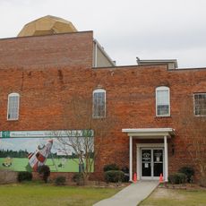
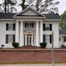
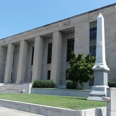
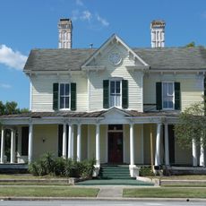
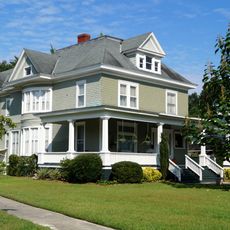
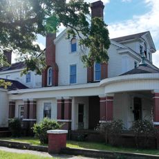
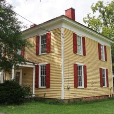
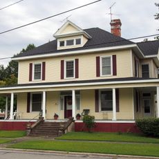
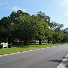
La Grange is a town located in Lenoir County in eastern North Carolina, situated in a rural area of the state. The community provides standard local services and facilities typical of a small American town.

La Grange developed over time as part of the regional settlement in Lenoir County and remains an established community in the area. The town has maintained its role as a stable local jurisdiction within the county structure.

The administrative structure of La Grange reflects North Carolina's approach to local governance, maintaining specific jurisdictional boundaries and responsibilities.

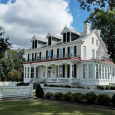
Visitors will find basic amenities and services typical of a small town, including local shops and administrative facilities. The location is accessible by car and offers a quiet, small-town setting for those exploring the region.

The administrative division operates within a specific geographical area, coordinating with neighboring jurisdictions to manage regional planning and development.

The community of curious travelers

AroundUs brings together thousands of curated places, local tips, and hidden gems, enriched daily by 60,000 contributors worldwide.

Start exploring
Location
Elevation above the sea
33 m
GPS coordinates
35.30861,-77.79222
Latest update
December 7, 2025 19:23
Around this place
Cliffs of the Neuse State Park
United States of America

Cliffs of the Neuse State Park

11.4 km
Fort Neoheroka
United States of America

Fort Neoheroka

19.8 km
Harmony Hall
United States of America

Harmony Hall

19.8 km
Dempsey Wood House
United States of America

Dempsey Wood House

10.7 km
Temple Israel
United States of America

Temple Israel

18.3 km
La Grange Presbyterian Church
United States of America

La Grange Presbyterian Church

514 m
American Tobacco Company Prizery
United States of America

American Tobacco Company Prizery

19.6 km
Solomon and Henry Weil Houses
United States of America

Solomon and Henry Weil Houses

20.6 km
Kinston Baptist-White Rock Presbyterian Church
United States of America

Kinston Baptist-White Rock Presbyterian Church

20.5 km
Odd Fellows Lodge
United States of America

Odd Fellows Lodge

19.8 km
Neuseway Nature Center and Planetarium
United States of America

Neuseway Nature Center and Planetarium

19.5 km
La Grange Historic District (North Carolina)
United States of America

La Grange Historic District (North Carolina)

339 m
Southerland-Burnette House
United States of America

Southerland-Burnette House

27.9 km
First Presbyterian Church
United States of America

First Presbyterian Church

20.5 km
Lenoir County Courthouse
United States of America

Lenoir County Courthouse

20.6 km
B. W. Canady House
United States of America

B. W. Canady House

19.7 km
Mitchelltown Historic District
United States of America

Mitchelltown Historic District

19.2 km
Robert L. Blalock House
United States of America

Robert L. Blalock House

20.2 km
Baptist Parsonage
United States of America

Baptist Parsonage

20.1 km
Hill–Grainger Historic District
United States of America

Hill–Grainger Historic District

19.8 km
Sumrell and McCoy Building
United States of America

Sumrell and McCoy Building

19.8 km
Kennedy Memorial Home Historic District
United States of America

Kennedy Memorial Home Historic District

10.9 km
Greene County Courthouse
United States of America

Greene County Courthouse

19.8 km
Cedar Dell
United States of America

Cedar Dell

11.1 km
Carter-Simmons House
United States of America

Carter-Simmons House

23.5 km
Queen-Gordon Streets Historic District
United States of America

Queen-Gordon Streets Historic District

19.9 km
CSS Neuse Museum
United States of America

CSS Neuse Museum

19.9 km
Wayne County Museum
United States of America

Wayne County Museum

20 km
Show the full map
Reviews
Share your experience

No review yet

Discussions
Start a discussion...

No discussion yet

« La Grange - Administrative division in North Carolina, United States » is provided by Around Us (aroundus.com). Images and texts are derived from Wikimedia project under a Creative Commons license. You are allowed to copy, distribute, and modify copies of this page, under the conditions set by the license, as long as this note is clearly visible.

Discover hidden gems everywhere you go!

From secret cafés to breathtaking viewpoints, skip the crowded tourist spots and find places that match your style. Our app makes it easy with voice search, smart filtering, route optimization, and insider tips from travelers worldwide. Download now for the complete mobile experience.

Around Us App Screenshot

A unique approach to discovering new places

Le Figaro

All the places worth exploring

France Info

A tailor-made excursion in just a few clicks

20 Minutes

Around Us
Travel Guide & Maps
Download

Send to your phone

QR Code
1

Open the camera app on your mobile.

2

Point at the QR code with your camera. A notification will appear.

3

Tap the notification to open the link.