
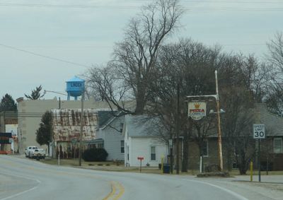
Linden, human settlement in Montgomery County, Indiana, United States of America
Location: Montgomery County
Elevation above the sea: 244 m
Website: http://linden.in.gov
GPS coordinates: 40.18860,-86.90330
Latest update: March 5, 2025 00:56
Fort Ouiatenon
24.8 km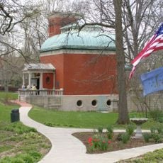
General Lew Wallace Study
16.5 km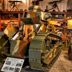
Ropkey Armor Museum
17 km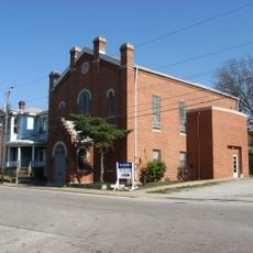
Temple Israel
25.4 km
Haan Mansion Museum of Indiana Art
25 km
Glen Hall, Indiana
21.8 km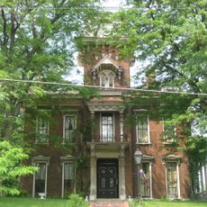
Judge Cyrus Ball House
25.1 km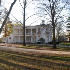
Henry S. Lane House
16.6 km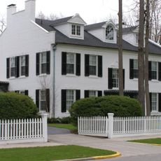
Col. Isaac C. Elston House
16.5 km
Farmers Institute
16.6 km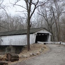
Darlington Covered Bridge
12.9 km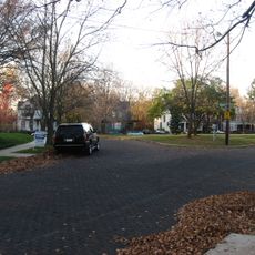
Highland Park Neighborhood Historic District
24.2 km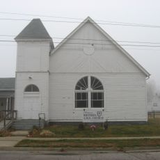
Bethel AME Church of Crawfordsville
16 km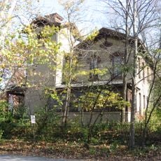
Falley Home
25.2 km
Ellsworth Historic District
25.3 km
Saint John's Episcopal Church
16.5 km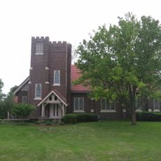
Stidham United Methodist Church
17.3 km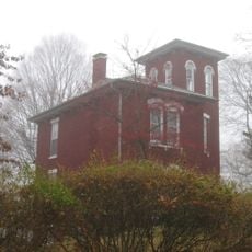
McClelland-Layne House
16 km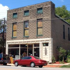
Dayton Historic District
23.9 km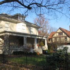
Elston Grove Historic District
16.6 km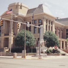
Crawfordsville Commercial Historic District
16.5 km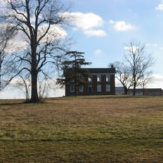
Abijah O'Neall II House
19.5 km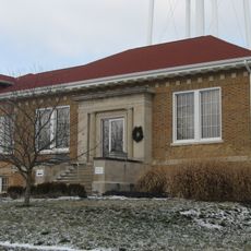
Colfax Carnegie Library
20.2 km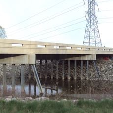
Indian Trail Road–Belle River Bridge
24.8 km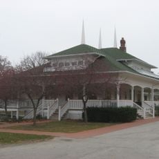
Scott Street Pavilion
25.3 km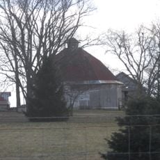
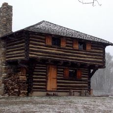
William Fisher Polygonal Barn
13.6 km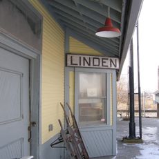
Linden Depot
511 m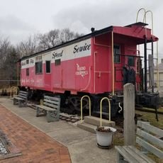
Linden Depot Museum
449 mVisited this place? Tap the stars to rate it and share your experience / photos with the community! Try now! You can cancel it anytime.
Discover hidden gems everywhere you go!
From secret cafés to breathtaking viewpoints, skip the crowded tourist spots and find places that match your style. Our app makes it easy with voice search, smart filtering, route optimization, and insider tips from travelers worldwide. Download now for the complete mobile experience.

A unique approach to discovering new places❞
— Le Figaro
All the places worth exploring❞
— France Info
A tailor-made excursion in just a few clicks❞
— 20 Minutes