Selma, town in Johnston County, North Carolina, United States
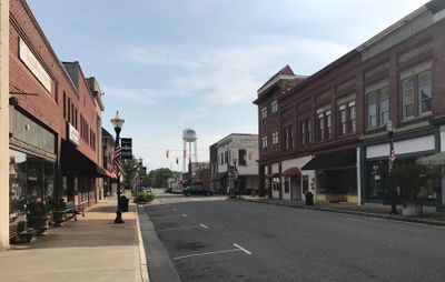
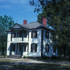
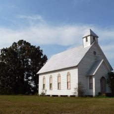
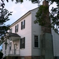
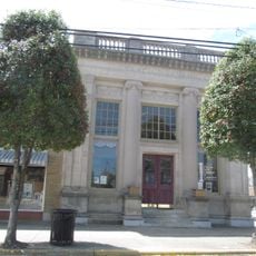
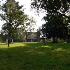
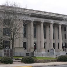
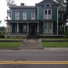
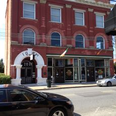
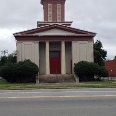
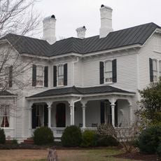
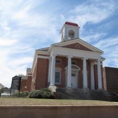
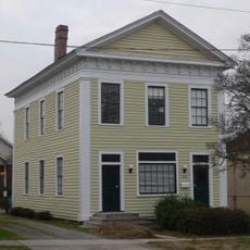
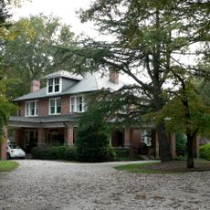
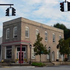
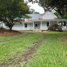
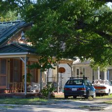
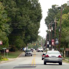
Selma is a small town in Johnston County characterized by quiet streets and old brick buildings with straightforward architectural designs. The layout features a main street lined with shops, small parks for gathering, and simple structures that reflect small-town American living.
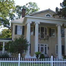
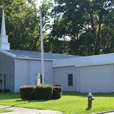
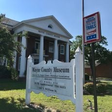
Selma developed in the early 1900s around agriculture and local industries that shaped the town's economy. The town preserves its history through old buildings and memorials that honor events and people who shaped the community.
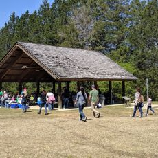
Selma's name reflects its roots in farming and local industry, which shaped community life for generations. Residents gather regularly in shops and parks to maintain traditions and stay connected, creating a close-knit social fabric.
The town is compact and easy to explore on foot, with sidewalks connecting different areas. The best times for walking are early morning or evening when streets are quieter and the light is softer.
Trains pass through town regularly and many visitors stop to watch and listen to this classic railroad sight. This everyday scene connects the present to a past when railroads were vital to the town's economy.
The community of curious travelers
AroundUs brings together thousands of curated places, local tips, and hidden gems, enriched daily by 60,000 contributors worldwide.