Enable Location

We need your location to show you interesting places around you

Discover nearby places

Find interesting locations and hidden gems around you

Precise directions

Get accurate directions and distances to places

Your location is never shared with other users. It's only used when you tap the location button.

Romney

Log in to your account

Start exploring — it's free

Trusted by 63,116 travelers worldwide

Continue with Google
Continue with Apple
or

We will send you a code to connect

By continuing, you accept our Terms and Conditions and our Privacy Policy

Check your inbox

We've sent a pincode in your inbox. Please enter the code below.

Discussion Reviews 2 Photos
28k Popularity

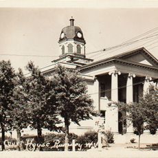
Romney, County seat in Hampshire County, West Virginia

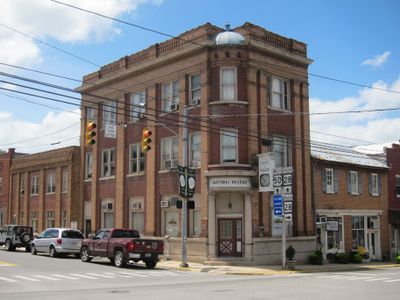
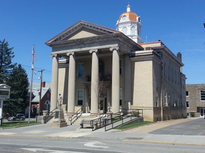
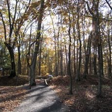
Romney is a county seat in Hampshire County, positioned in the Potomac Highlands where the terrain shifts across varying elevations. The town lies along U.S. Route 50 and West Virginia Route 28, offering access to the Potomac Eagle Scenic Railroad.

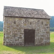
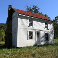
The settlement began in 1762 when Lord Fairfax oversaw a formal survey that divided it into 100 lots, replacing the earlier name of Pearsall's Flats. This founding act shaped the town's basic structure and identity from the start.

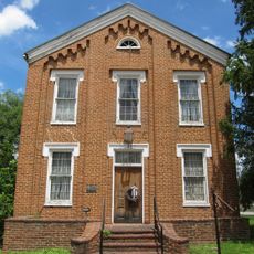
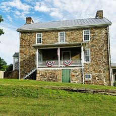
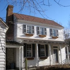
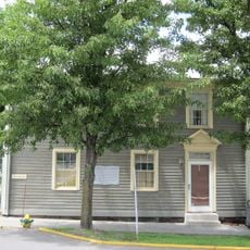
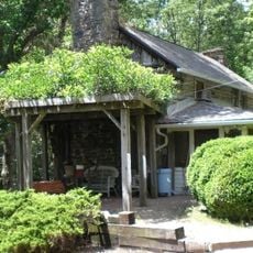
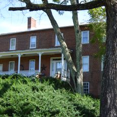
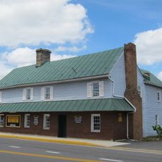
The town's identity reflects its past as an early learning center, with buildings and local institutions still carrying marks of that heritage. Walking through, you notice how this legacy remains woven into the community's sense of itself.

The town is accessible by major roads, making it easy for travelers to explore the area and nearby regions. Plan time to walk through and get a sense of the local landscape and community.

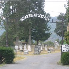
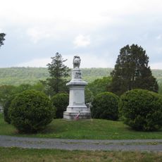
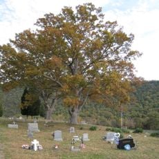
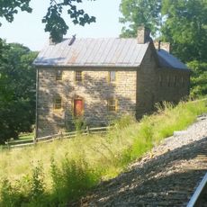
During the Civil War, the town changed hands between Union and Confederate forces as part of Stonewall Jackson's campaign in the region. This back-and-forth control left lasting marks that you can still trace through local stories and places.

The community of curious travelers

AroundUs brings together thousands of curated places, local tips, and hidden gems, enriched daily by 60,000 contributors worldwide.

Start exploring
Location
Inception
1725
Elevation above the sea
250 m
GPS coordinates
39.34500,-78.75694
Latest update
December 20, 2025 13:06
Around this place
Literary Hall
United States of America

Literary Hall

299 m
Sloan–Parker House
United States of America

Sloan–Parker House

8.7 km
Valley View
United States of America

Valley View

1.2 km
Indian Mound Cemetery
United States of America

Indian Mound Cemetery

814 m
Washington Bottom Farm
United States of America

Washington Bottom Farm

7.8 km
Confederate Memorial
United States of America

Confederate Memorial

795 m
Fort Mill Ridge Civil War Trenches
United States of America

Fort Mill Ridge Civil War Trenches

3.9 km
Fort Van Meter
United States of America

Fort Van Meter

14.1 km
Wilson-Wodrow-Mytinger House
United States of America

Wilson-Wodrow-Mytinger House

404 m
Hampshire County Courthouse
United States of America

Hampshire County Courthouse

320 m
United States of America

Sycamore Dale

1.6 km
Little Cacapon Mountain
United States of America

Little Cacapon Mountain

12.6 km
Taggart Hall
United States of America

Taggart Hall

424 m
Kuykendall Polygonal Barn
United States of America

Kuykendall Polygonal Barn

14.3 km
Washington Place
United States of America

Washington Place

1.1 km
Scanlon Farm
United States of America

Scanlon Farm

11.6 km
French's Mill
United States of America

French's Mill

11.8 km
Nathaniel and Isaac Kuykendall House
United States of America

Nathaniel and Isaac Kuykendall House

7 km
Hickory Grove
United States of America

Hickory Grove

3 km
United States of America

Springfield Wildlife Management Area

15.5 km
Carskadon House
United States of America

Carskadon House

9.4 km
Burlington Historic District
United States of America

Burlington Historic District

14 km
United States of America

Springfield Brick House

13 km
Camp Waldo Schmitt
United States of America

Camp Waldo Schmitt

15.5 km
United States of America

West Virginia Schools for the Deaf and the Blind Dairy Barn

404 m
Old Methodist District Parsonage
United States of America

Old Methodist District Parsonage

171 m
169 East Main Street (Romney, West Virginia)
United States of America

169 East Main Street (Romney, West Virginia)

433 m
United States of America

Larenim Park Ampitheatre

11.5 km
Show the full map
Reviews
Share your experience

No review yet

Discussions
Start a discussion...

No discussion yet

« Romney - County seat in Hampshire County, West Virginia » is provided by Around Us (aroundus.com). Images and texts are derived from Wikimedia project under a Creative Commons license. You are allowed to copy, distribute, and modify copies of this page, under the conditions set by the license, as long as this note is clearly visible.

Discover hidden gems everywhere you go!

From secret cafés to breathtaking viewpoints, skip the crowded tourist spots and find places that match your style. Our app makes it easy with voice search, smart filtering, route optimization, and insider tips from travelers worldwide. Download now for the complete mobile experience.

Around Us App Screenshot

A unique approach to discovering new places

Le Figaro

All the places worth exploring

France Info

A tailor-made excursion in just a few clicks

20 Minutes

Around Us
Travel Guide & Maps
Download

Send to your phone

QR Code
1

Open the camera app on your mobile.

2

Point at the QR code with your camera. A notification will appear.

3

Tap the notification to open the link.