
Mapleton, city in Blue Earth County, Minnesota, United States
Location: Blue Earth County
Elevation above the sea: 316 m
Website: http://mapletonmn.com
GPS coordinates: 43.92885,-93.95606
Latest update: March 15, 2025 14:30

Minneopa State Park
28.5 km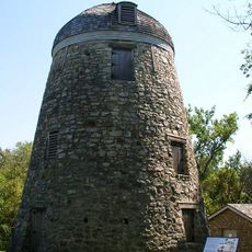
Seppman Mill
29 km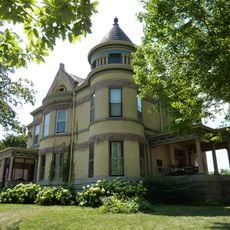
Lorin Cray House
26.2 km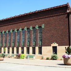
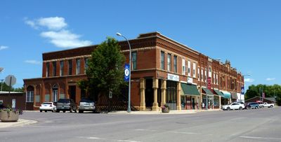
First National Bank of Mankato
26.7 km
Blue Earth County Courthouse
26.4 km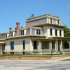
Renesselaer D. Hubbard House
26.2 km
Kern Bridge
21.3 km
First Baptist Church
21.4 km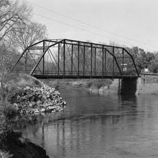
Dodd Ford Bridge
19.5 km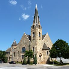
First Presbyterian Church
26.5 km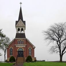
Vista Lutheran Church
39.4 km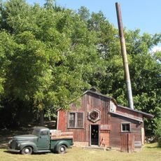
Seha Sorghum Mill
38.3 km
Church of the Good Shepherd-Episcopal
34.5 km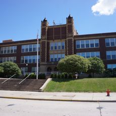
Old Main
26.2 km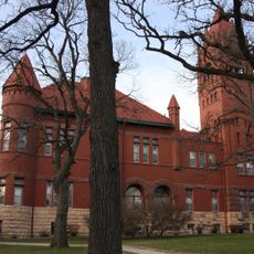
Faribault County Courthouse
34 km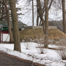
Hofmann Apiaries
34.9 km
Peter Kremer House
13.8 km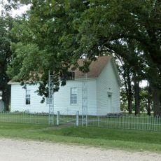
Sterling Congregational Church
8.8 km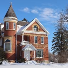
Lucas Troendle House
99 m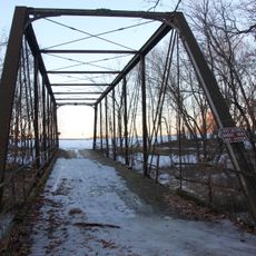
Shanaska Creek Bridge
37.9 km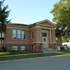
Janesville Free Public Library
28.9 km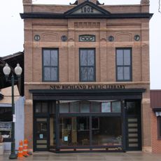
Strangers Refuge Lodge Number 74, IOOF
37.3 km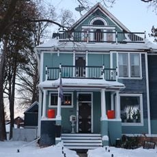
Adolph O. Eberhart House
25.9 km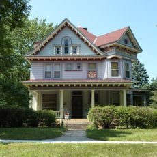
J.R. Brandrup House
25.5 km
Charles Chapman House
26 km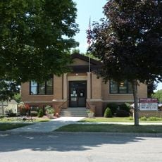
Mapleton Public Library
368 m
William Irving House
26.3 km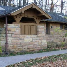
Minneopa State Park WPA/Rustic Style Historic Resources
26.8 kmReviews
Visited this place? Tap the stars to rate it and share your experience / photos with the community! Try now! You can cancel it anytime.
Discover hidden gems everywhere you go!
From secret cafés to breathtaking viewpoints, skip the crowded tourist spots and find places that match your style. Our app makes it easy with voice search, smart filtering, route optimization, and insider tips from travelers worldwide. Download now for the complete mobile experience.

A unique approach to discovering new places❞
— Le Figaro
All the places worth exploring❞
— France Info
A tailor-made excursion in just a few clicks❞
— 20 Minutes