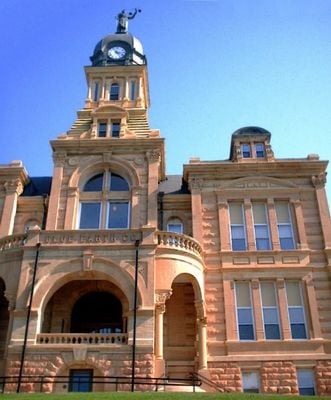
Blue Earth County, County seat in southern Minnesota, United States.
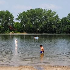
Blue Earth County is an administrative division in southern Minnesota that covers agricultural land with rolling hills and stream valleys. Two rivers wind through the area, and farming communities are scattered across the landscape alongside small towns and rural roads.
The county was established in 1853 when settlers reorganized surrounding territories into a new administrative region. The name comes from natural features found in the local geography that caught the attention of early European explorers and settlers.
The Dakota people, particularly the Sisseton tribe, maintained strong connections to the land before European settlement changed the regional demographics.
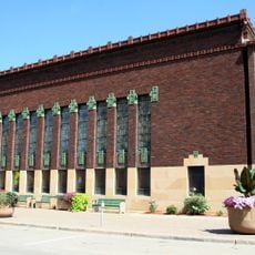
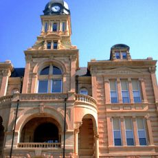
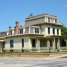
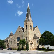
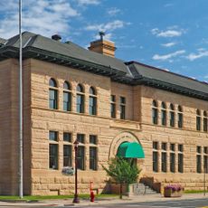
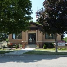
Visitors can access public facilities and government offices located throughout the county, with main centers in the larger towns. Spring and autumn offer pleasant weather for exploring the rural landscape and visiting local communities.
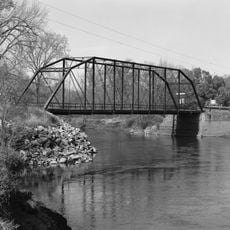
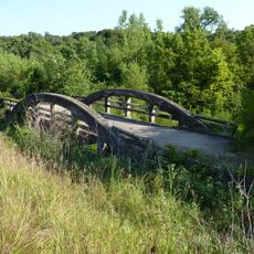
Blue-toned clay deposits line the banks of the river that gives the county its name, creating a distinctive geological feature in the landscape. This natural characteristic remains visible along the waterway and tells the story of how the region got its identity.
Location: Minnesota
Inception: March 5, 1853
Capital city: Mankato
Shares border with: Nicollet County, Faribault County, Le Sueur County, Waseca County, Martin County, Watonwan County, Brown County
Website: http://co.blue-earth.mn.us
GPS coordinates: 44.03000,-94.06000
Latest update: December 7, 2025 10:05
Minneopa State Park
15.1 km
Seppman Mill
15.5 km
Lorin Cray House
15.3 km
First National Bank of Mankato
15.9 km
Blue Earth County Courthouse
15.7 km
Renesselaer D. Hubbard House
15.3 km
Kern Bridge
9 km
Dodd Ford Bridge
19.9 km
First Baptist Church
8.8 km
First Presbyterian Church
15.7 km
Marsh Concrete Rainbow Arch Bridge
33.3 km
Old Main
15.5 km
West Bridge
29.8 km
Peter Kremer House
27.7 km
Union Presbyterian Church
33.3 km
Sterling Congregational Church
14.6 km
Lucas Troendle House
14.1 km
Shanaska Creek Bridge
29.3 km
Janesville Free Public Library
29.8 km
Adolph O. Eberhart House
14.9 km
J.R. Brandrup House
14.4 km
Charles Chapman House
14.1 km
Mapleton Public Library
14 km
William Irving House
14.8 km
Minneopa State Park WPA/Rustic Style Historic Resources
13.4 km
Madelia Theater
28.8 km
Linnaeus Arboretum
33 km
Old Main
33.4 kmVisited this place? Tap the stars to rate it and share your experience / photos with the community! Try now! You can cancel it anytime.
Discover hidden gems everywhere you go!
From secret cafés to breathtaking viewpoints, skip the crowded tourist spots and find places that match your style. Our app makes it easy with voice search, smart filtering, route optimization, and insider tips from travelers worldwide. Download now for the complete mobile experience.
A unique approach to discovering new places❞
— Le Figaro
All the places worth exploring❞
— France Info
A tailor-made excursion in just a few clicks❞
— 20 Minutes