
Millville, human settlement in Wabasha County, Minnesota, United States of America
Location: Wabasha County
Elevation above the sea: 253 m
GPS coordinates: 44.24500,-92.29472
Latest update: March 16, 2025 00:04

IBM Rochester
26.8 km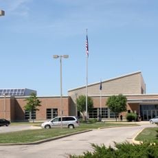
Century High School
24.1 km
Carley State Park
17.2 km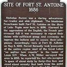
Fort Saint Antoine
25.2 km
Nicholas Marnach House
25.2 km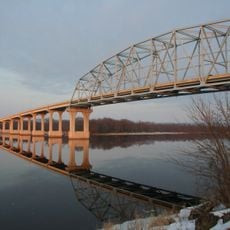
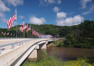
Wabasha–Nelson Bridge
26.2 km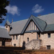
Grace Memorial Episcopal Church
25.9 km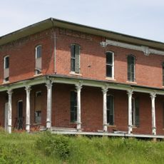
Patrick H. Rahilly House
19 km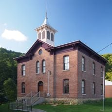
Reads Landing School
24.4 km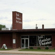
Jon Hassler Theater
13.2 km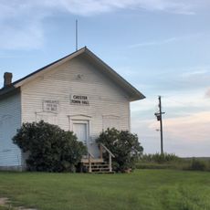
Bear Valley Grange Hall
15.6 km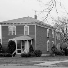
First Congregational Parsonage
24.2 km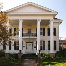
Williamson–Russell–Rahilly House
22.5 km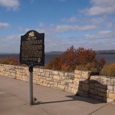
Reads Landing Overlook
23.7 km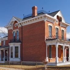
Lorenz and Lugerde Ginthner House
25.8 km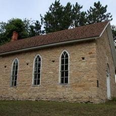
Swedish Evangelical Lutheran Church
204 m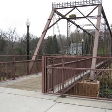
Walnut Street Bridge
20.5 km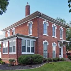
Lucas Kuehn House
26.1 km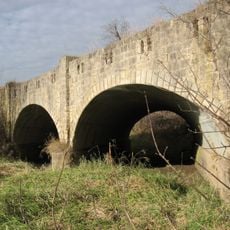
Zumbro Parkway Bridge
10.9 km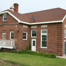
Viola Cooperative Creamery
20.2 km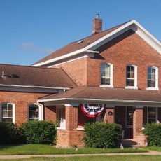
Alexander Thoirs House
25.8 km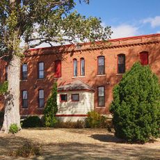
Wabasha County Poor House
25.9 km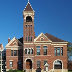
Lake City City Hall
22.7 km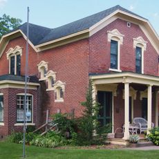
Clara and Julius Schmidt House
26 km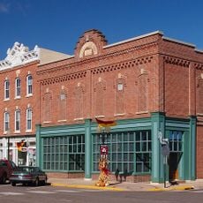
Wabasha Commercial Historic District
26 km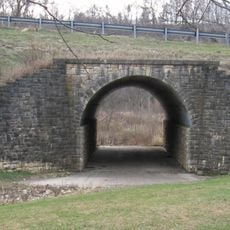
Bridge No. 5827-Zumbro Falls
10.7 km
William H. and Alma Downer Campbell House
25.8 km
James C. and Agnes M. Stout House
22.5 kmVisited this place? Tap the stars to rate it and share your experience / photos with the community! Try now! You can cancel it anytime.
Discover hidden gems everywhere you go!
From secret cafés to breathtaking viewpoints, skip the crowded tourist spots and find places that match your style. Our app makes it easy with voice search, smart filtering, route optimization, and insider tips from travelers worldwide. Download now for the complete mobile experience.

A unique approach to discovering new places❞
— Le Figaro
All the places worth exploring❞
— France Info
A tailor-made excursion in just a few clicks❞
— 20 Minutes