
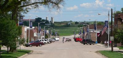
Walthill, village in Thurston County, Nebraska, United States
Location: Thurston County
Elevation above the sea: 371 m
GPS coordinates: 42.14861,-96.49056
Latest update: May 9, 2025 06:53
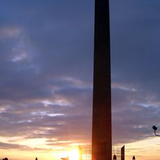
Sergeant Floyd Monument
36.2 km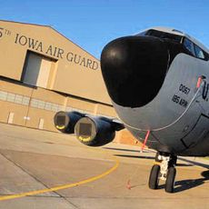
Sioux City Air National Guard Base
29.5 km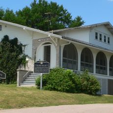
Dr. Susan LaFlesche Picotte Memorial Hospital
484 m
Sioux City Air Defense Sector
29.3 km
Lewis and Clark State Park
29.2 km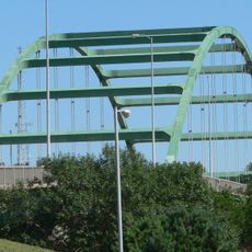
Siouxland Veterans Memorial Bridge
38.3 km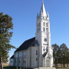
St. John's German Evangelical Lutheran Church
28.6 km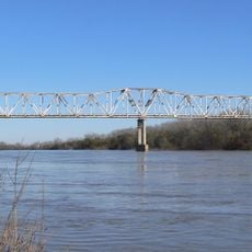
Burt County Missouri River Bridge
25.9 km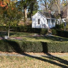
John G. Neihardt State Historic Site
16.9 km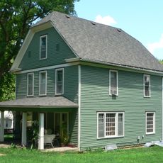
Susan La Flesche Picotte House
130 m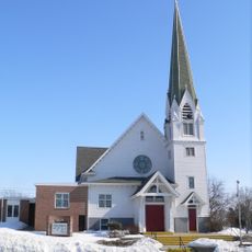
Swedish Evangelical Lutheran Salem Church
33.4 km
Cornelius O'Connor House
18.2 km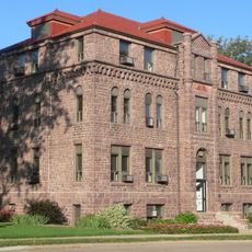
Charles City College Hall
37.9 km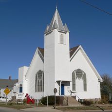
Swedish Heritage Center
34.9 km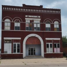
Onawa IOOF Opera House
35.3 km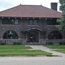
Onawa Public Library
35.5 km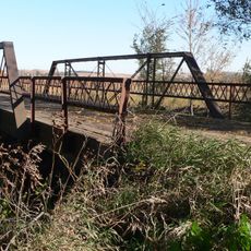
Rattlesnake Creek Bridge
15.4 km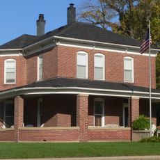
Julius and Anine Oversen House
37.7 km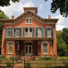
Newell A. Whiting House
35.1 km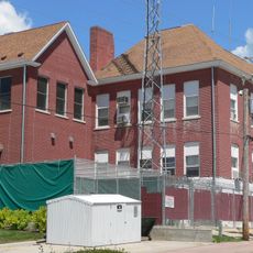
Thurston County Courthouse
18.4 km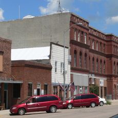
First Thurston County Courthouse
18.3 km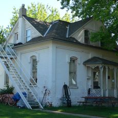
Meisch House
36.7 km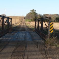
North Omaha Creek Bridge
6.1 km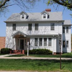
Morningside University
38 km
Sioux City Bridge Company
37.3 km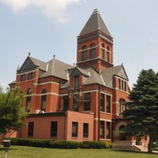
Monona County Courthouse
35.6 km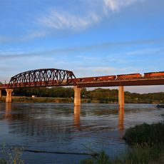
BNSF Sioux City Bridge
37.3 km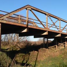
North Omaha Creek Bridge
3.7 kmVisited this place? Tap the stars to rate it and share your experience / photos with the community! Try now! You can cancel it anytime.
Discover hidden gems everywhere you go!
From secret cafés to breathtaking viewpoints, skip the crowded tourist spots and find places that match your style. Our app makes it easy with voice search, smart filtering, route optimization, and insider tips from travelers worldwide. Download now for the complete mobile experience.

A unique approach to discovering new places❞
— Le Figaro
All the places worth exploring❞
— France Info
A tailor-made excursion in just a few clicks❞
— 20 Minutes