
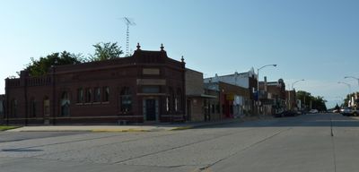
Janesville, city in Minnesota
Location: Waseca County
Inception: 1856
Elevation above the sea: 325 m
Website: http://janesville.govoffice.com
GPS coordinates: 44.11608,-93.70800
Latest update: March 8, 2025 16:51
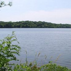
Sakatah Lake State Park
18 km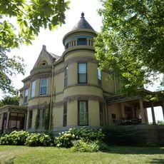
Lorin Cray House
24.3 km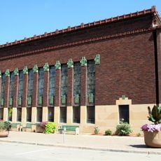
First National Bank of Mankato
24.3 km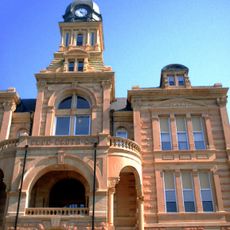
Blue Earth County Courthouse
23.9 km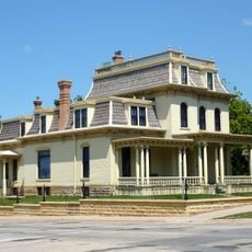
Renesselaer D. Hubbard House
24.3 km
Kern Bridge
26.7 km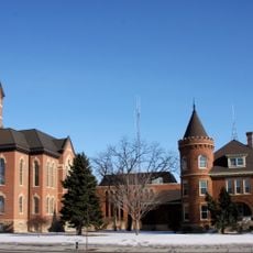
Nicollet County Courthouse and Jail
30.3 km
Dodd Road Discontiguous District
24.4 km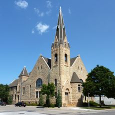
First Presbyterian Church
24.1 km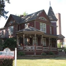
William R. Wolf House
17.1 km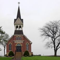
Vista Lutheran Church
26.3 km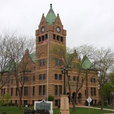
Waseca County Courthouse
16.5 km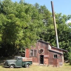
Seha Sorghum Mill
9.8 km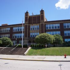
Old Main
23.9 km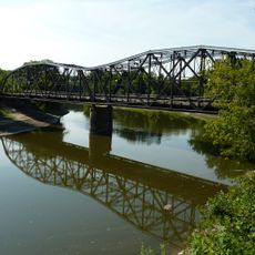
Broadway Bridge
30.4 km
Hofmann Apiaries
6.4 km
John W. Aughenbaugh House
17.5 km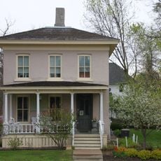
Philo C. Bailey House
16.9 km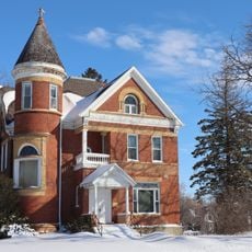
Lucas Troendle House
28.8 km
Roscoe P. Ward House
17.5 km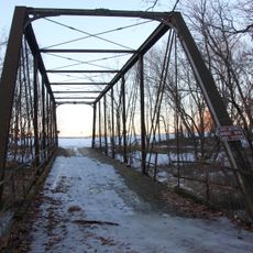
Shanaska Creek Bridge
22.6 km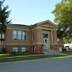
Janesville Free Public Library
158 m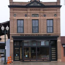
Strangers Refuge Lodge Number 74, IOOF
30.2 km
Adolph O. Eberhart House
24.2 km
J.R. Brandrup House
24.4 km
Charles Chapman House
26.7 km
Mapleton Public Library
29.1 km
William Irving House
25.6 kmVisited this place? Tap the stars to rate it and share your experience / photos with the community! Try now! You can cancel it anytime.
Discover hidden gems everywhere you go!
From secret cafés to breathtaking viewpoints, skip the crowded tourist spots and find places that match your style. Our app makes it easy with voice search, smart filtering, route optimization, and insider tips from travelers worldwide. Download now for the complete mobile experience.

A unique approach to discovering new places❞
— Le Figaro
All the places worth exploring❞
— France Info
A tailor-made excursion in just a few clicks❞
— 20 Minutes