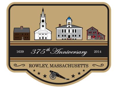
Rowley, town in Essex County, Massachusetts, United States of America
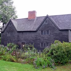
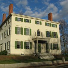
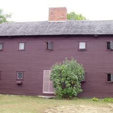
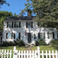
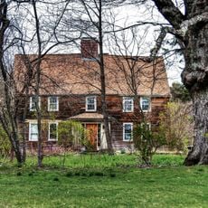
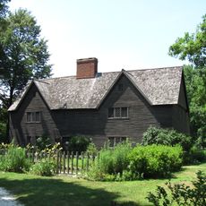
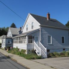
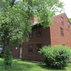
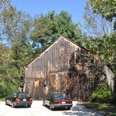
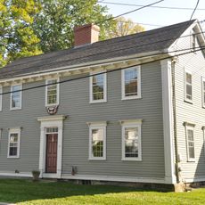
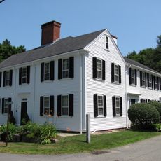
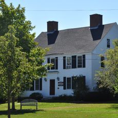
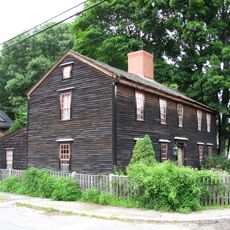
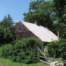
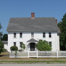
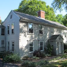
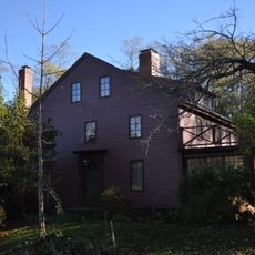
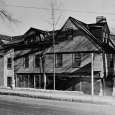
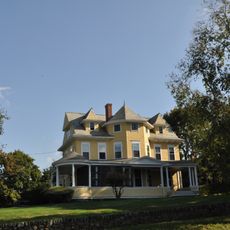
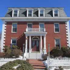
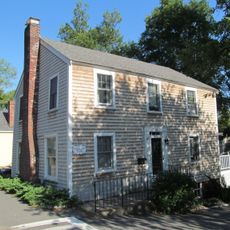
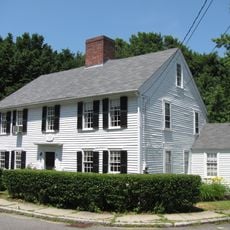
Rowley is a small town on the North Shore of Massachusetts with just over 6,000 residents. The streetscapes show simple wooden homes with small yards and quiet roads, many dating from the town's early settlement period that define its character.
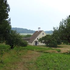
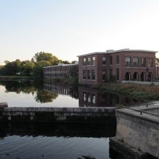
Rowley was settled in 1638 or 1639 by English Puritans seeking religious freedom and land for their community. The settlers made use of the salt marshes and later engaged in shipbuilding, which peaked in the late 1800s as a major local industry.
Rowley takes its name from a town in Yorkshire, England, connecting the early settlers to their homeland. The community keeps alive the memory of Native Americans, especially Chief Masconomo, whose land became the foundation of the town, and this shared history remains part of local identity today.
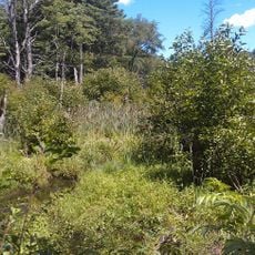
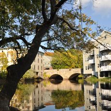
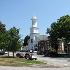
The best way to explore Rowley is through a quiet walk along its streets or a slow drive on the Scenic Byway that passes through town. Visitors can explore the salt marshes and wildlife areas or visit the Town Common where community life gathers.
Margaret Scott, a woman from Rowley, was accused of witchcraft and hanged in the 1690s, drawing the town into the hysteria of the Salem witch trials. Her memory is preserved today as a reminder of one of the darkest chapters in the region's past.
The community of curious travelers
AroundUs brings together thousands of curated places, local tips, and hidden gems, enriched daily by 60,000 contributors worldwide.