Chest opened
+${chestReward.xp} XP
Explorer
NOUVEAU ×${chestReward.collectible.quantity}
tapez pour fermer
Chest locked

Open chests in the app

Around Us is built for your phone — chests unlock when you walk, explore and capture nearby places.

Enable Location

We need your location to show you interesting places around you

Discover nearby places

Find interesting locations and hidden gems around you

Precise directions

Get accurate directions and distances to places

Your location is never shared with other users. It's only used when you tap the location button.

Log in to your account

Start exploring — it's free

Trusted by 72,886 travelers worldwide

Continue with Google
Continue with Apple
or

We will send you a code to connect

By continuing, you accept our Terms and Conditions and our Privacy Policy

Check your inbox

We've sent a pincode in your inbox. Please enter the code below.

Discussion Reviews Photo
11.7k Popularity

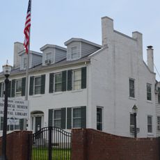
Pocahontas, Administrative division in Bond County, Illinois, United States.

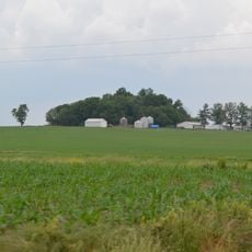
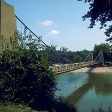
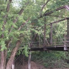
Pocahontas is a small village in Bond County in southern Illinois. The community sits in a rural farming region, positioned along major transportation corridors that connect to broader Midwestern routes.

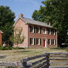
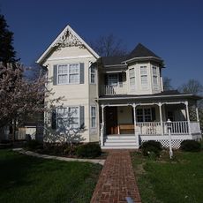
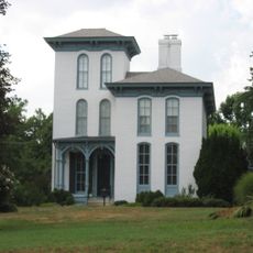
The village was established as a small settlement in Bond County and has remained an administrative center for the area. Its location has always supported the farming activities that define the surrounding landscape.

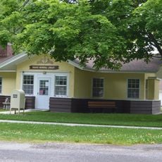
The Pocahontas Center serves as an educational hub for the community, providing elementary education from pre-kindergarten through eighth grade to 226 students.

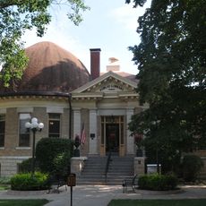
The village's small size makes it easy to navigate, with straightforward access to nearby cities and highways. Basic services and local government offices are located centrally for convenient access.

The village maintains direct access to Interstate 70, creating a strategic connection point between major Midwestern transportation routes.

The community of curious travelers

AroundUs brings together thousands of curated places, local tips, and hidden gems, enriched daily by 60,000 contributors worldwide.

Start exploring
GPS coordinates
38.82782,-89.54008
Latest update
December 7, 2025 20:49
Around this place
Historic Route 66
United States of America

Historic Route 66

28.8 km
Carlyle Lake
United States of America

Carlyle Lake

28.4 km
Emerald Mound and Village Site
United States of America

Emerald Mound and Village Site

30.6 km
Benjamin Stephenson House
United States of America

Benjamin Stephenson House

35.8 km
Greenville Public Library
United States of America

Greenville Public Library

13.7 km
General Dean Suspension Bridge
United States of America

General Dean Suspension Bridge

28.9 km
St. Paul Catholic Church
United States of America

St. Paul Catholic Church

15.1 km
Lebanon Historic District
United States of America

Lebanon Historic District

34.3 km
LeClaire Historic District
United States of America

LeClaire Historic District

35.7 km
William W. Jarvis House
United States of America

William W. Jarvis House

31.3 km
James C. Twiss House
United States of America

James C. Twiss House

24.8 km
Ripson Bridge
United States of America

Ripson Bridge

14.8 km
John Weir House
United States of America

John Weir House

36.6 km
Montgomery County Courthouse
United States of America

Montgomery County Courthouse

37.3 km
Clinton County Courthouse
United States of America

Clinton County Courthouse

28.4 km
Narodni Sin
United States of America

Narodni Sin

35.9 km
St. Louis Street Historic District
United States of America

St. Louis Street Historic District

37.2 km
Berleman House
United States of America

Berleman House

36.1 km
Edwardsville Chapter House
United States of America

Edwardsville Chapter House

36.6 km
John Carney House
United States of America

John Carney House

31.3 km
Glen Carbon Grade School
United States of America

Glen Carbon Grade School

39.1 km
George Blackman House
United States of America

George Blackman House

36.4 km
Manske-Niemann Farm
United States of America

Manske-Niemann Farm

36.7 km
Freeman-Brewer-Sawyer House
United States of America

Freeman-Brewer-Sawyer House

36.8 km
Marine Chapter House
United States of America

Marine Chapter House

21.1 km
Hayward-Hill House
United States of America

Hayward-Hill House

36.9 km
Edwardsville Children's Museum
United States of America

Edwardsville Children's Museum

35.6 km
American Farm Heritage Museum
United States of America

American Farm Heritage Museum

15.3 km
Show the full map
Reviews
Share your experience

No review yet

Discussions
Start a discussion...

No discussion yet

« Pocahontas - Administrative division in Bond County, Illinois, United States » is provided by Around Us (aroundus.com). Images and texts are derived from Wikimedia project under a Creative Commons license. You are allowed to copy, distribute, and modify copies of this page, under the conditions set by the license, as long as this note is clearly visible.

Discover hidden gems everywhere you go!

From secret cafés to breathtaking viewpoints, skip the crowded tourist spots and find places that match your style. Our app makes it easy with voice search, smart filtering, route optimization, and insider tips from travelers worldwide. Download now for the complete mobile experience.

Around Us App Screenshot

A unique approach to discovering new places

Le Figaro

All the places worth exploring

France Info

A tailor-made excursion in just a few clicks

20 Minutes

Around Us
Travel Guide & Maps
Download

Send to your phone

QR Code
1

Open the camera app on your mobile.

2

Point at the QR code with your camera. A notification will appear.

3

Tap the notification to open the link.