
Otis, town in Berkshire County, Massachusetts, United States
Location: Berkshire County
Inception: 1735
Elevation above the sea: 372 m
Website: http://townofotisma.com
GPS coordinates: 42.19306,-73.09222
Latest update: March 3, 2025 02:07
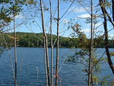
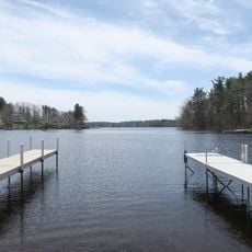
Otis Reservoir
6.1 km
Tolland State Forest
8.3 km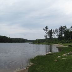
Sandisfield State Forest
13.4 km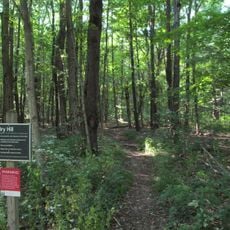
Dry Hill
12.9 km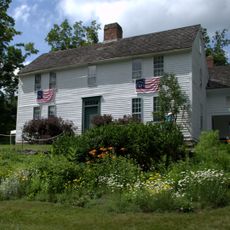
Bidwell House Museum
10.6 km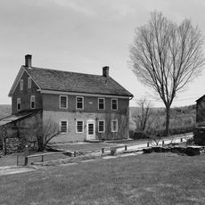
Tyringham Shaker Settlement Historic District
12.4 km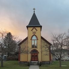
South Lee Historic District
17.9 km
Chester Factory Village Historic District
13.4 km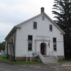
Mill River Historic District
17 km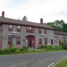
New Boston Village Historic District
11.1 km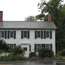
Philemon Sage House
16.1 km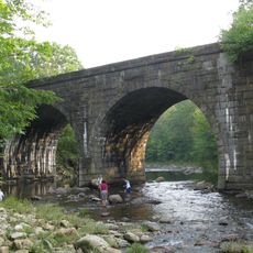
Middlefield-Becket Stone Arch Railroad Bridge District
14.6 km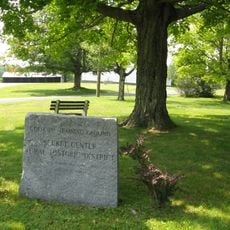
Becket Center Historic District
10.3 km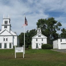
West Granville Historic District
18.1 km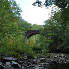
Western Railroad Stone Arch Bridges and Chester Factory Village Depot
15.6 km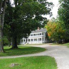
New Marlborough Village
13.5 km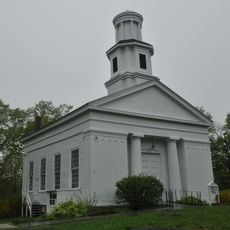
Chester Center Historic District
17.6 km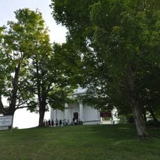
Methodist Episcopal Society of Tyringham
10.7 km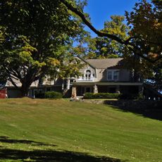
Rock Ridge
10.7 km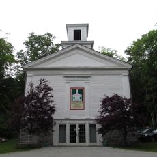
Montville Baptist Church
8.5 km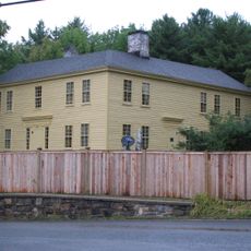
Capt. John Brewer House
9.7 km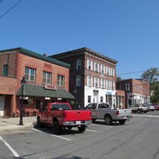
Huntington Village Historic District
18 km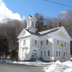
North Becket Village Historic District
15.5 km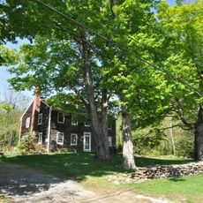
Lower Historic District
16.5 km
Tyringham Library
10.9 km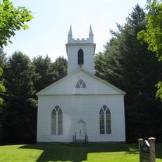
Otis Center Historic District
23 m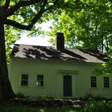
Clark-Eames House
16.8 km
New Boston Inn
11.1 kmVisited this place? Tap the stars to rate it and share your experience / photos with the community! Try now! You can cancel it anytime.
Discover hidden gems everywhere you go!
From secret cafés to breathtaking viewpoints, skip the crowded tourist spots and find places that match your style. Our app makes it easy with voice search, smart filtering, route optimization, and insider tips from travelers worldwide. Download now for the complete mobile experience.

A unique approach to discovering new places❞
— Le Figaro
All the places worth exploring❞
— France Info
A tailor-made excursion in just a few clicks❞
— 20 Minutes