Enable Location

We need your location to show you interesting places around you

Discover nearby places

Find interesting locations and hidden gems around you

Precise directions

Get accurate directions and distances to places

Your location is never shared with other users. It's only used when you tap the location button.

South Lee Historic District

Log in to your account

Start exploring — it's free

Trusted by 61,991 travelers worldwide

Continue with Google
Continue with Apple
or

We will send you a code to connect

By continuing, you accept our Terms and Conditions and our Privacy Policy

Check your inbox

We've sent a pincode in your inbox. Please enter the code below.

South Lee Historic District, Historic residential district in Lee, Massachusetts.

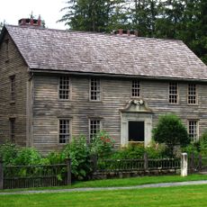
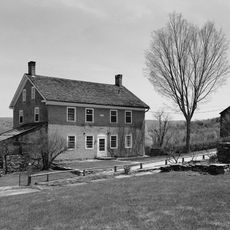
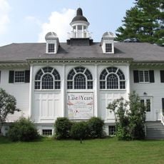
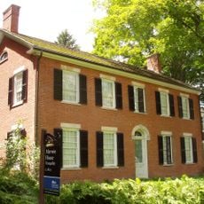
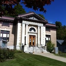
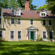
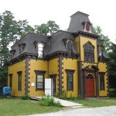
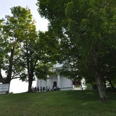
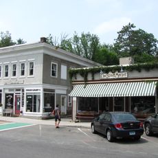
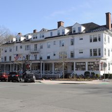
South Lee Historic District is a residential area along Pleasant Street featuring Federal and Greek Revival buildings spanning roughly 93 acres. The district extends to Massachusetts Route 102 and includes early 19th-century homes alongside remnants of former manufacturing facilities.

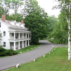
The area began developing after Colonel Joseph Whiton built the Housatonic River Turnpike in 1806 and established the Merrell Tavern as a rest stop. This roadway and inn sparked the growth of residential buildings and small industries along the route.

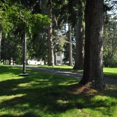
The district reflects 19th-century village life through its residential streets and roadside taverns where travelers once stopped. Walking here, you sense the rhythm of a community built around welcoming passersby on their journey.

The district is best explored on foot along Pleasant Street where the main buildings are visible from the road. Route 102 runs through the area and provides good orientation, making it easy to walk and see the historic structures.

Underground remnants of one of the Berkshires' first paper mills from 1806 lie beneath the residential streets. These buried industrial traces reveal that this quiet neighborhood once thrived on manufacturing.

The community of curious travelers

AroundUs brings together thousands of curated places, local tips, and hidden gems, enriched daily by 60,000 contributors worldwide.

Start exploring
Location
GPS coordinates
42.27806,-73.27667
Latest update
December 14, 2025 17:44
Around this place
The Mount
United States of America

The Mount

5.9 km
Elm Court
United States of America

Elm Court

6.9 km
Norman Rockwell Museum
United States of America

Norman Rockwell Museum

5 km
Sedgwick Pie
United States of America

Sedgwick Pie

3.5 km
Naumkeag
United States of America

Naumkeag

3.5 km
Chesterwood
United States of America

Chesterwood

6.3 km
Stockbridge Bowl
United States of America

Stockbridge Bowl

7.2 km
Mission House
United States of America

Mission House

3.3 km
Berkshire Theatre Festival
United States of America

Berkshire Theatre Festival

2.1 km
Monument Mountain
United States of America

Monument Mountain

6.3 km
Berkshire Botanical Garden
United States of America

Berkshire Botanical Garden

5.5 km
Tyringham Shaker Settlement Historic District
United States of America

Tyringham Shaker Settlement Historic District

5.5 km
Villa Virginia
United States of America

Villa Virginia

2.9 km
Stockbridge Casino
United States of America

Stockbridge Casino

2.1 km
Merwin House (Stockbridge, Massachusetts)
United States of America

Merwin House (Stockbridge, Massachusetts)

3.1 km
Housatonic Congregational Church
United States of America

Housatonic Congregational Church

7.7 km
Golden Hill Bridge
United States of America

Golden Hill Bridge

5.6 km
Ramsdell Public Library
United States of America

Ramsdell Public Library

7.6 km
Glendale Power House
United States of America

Glendale Power House

6.3 km
Hyde House
United States of America

Hyde House

3.4 km
Citizens Hall
United States of America

Citizens Hall

6.2 km
Methodist Episcopal Society of Tyringham
United States of America

Methodist Episcopal Society of Tyringham

7.2 km
Elm-Maple-South Streets Historic District
United States of America

Elm-Maple-South Streets Historic District

3 km
East Otis Schoolhouse
United States of America

East Otis Schoolhouse

4 km
Tyringham Library
United States of America

Tyringham Library

7 km
Monument Mountain
United States of America

Monument Mountain

6.3 km
Old Curtisville Historic District
United States of America

Old Curtisville Historic District

6.2 km
Main Street Historic District
United States of America

Main Street Historic District

3.8 km
Show the full map
« South Lee Historic District - Historic residential district in Lee, Massachusetts » is provided by Around Us (aroundus.com). Images and texts are derived from Wikimedia project under a Creative Commons license. You are allowed to copy, distribute, and modify copies of this page, under the conditions set by the license, as long as this note is clearly visible.

Discover hidden gems everywhere you go!

From secret cafés to breathtaking viewpoints, skip the crowded tourist spots and find places that match your style. Our app makes it easy with voice search, smart filtering, route optimization, and insider tips from travelers worldwide. Download now for the complete mobile experience.

Around Us App Screenshot

A unique approach to discovering new places

Le Figaro

All the places worth exploring

France Info

A tailor-made excursion in just a few clicks

20 Minutes

Around Us
Travel Guide & Maps
Download

Send to your phone

QR Code
1

Open the camera app on your mobile.

2

Point at the QR code with your camera. A notification will appear.

3

Tap the notification to open the link.