Berkshire County

Log in to your account

AroundUs is a community-driven map of interesting places, built by curious explorers like you. It grows with every review, story, and photo you share.
Connect to save your favorite spots, contribute locations, and create personalized routes.
Continue with Google
Continue with Apple
Continue with X
Continue with Facebook
Continue with email
By continuing, you accept our Terms and Conditions and our Privacy Policy
Create an account
Add to collection
Map
Suggest a change
Share

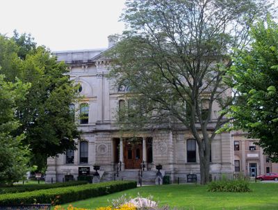
Berkshire County, County in western Massachusetts, United States.

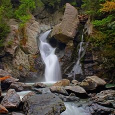
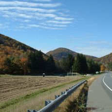
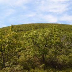
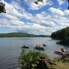
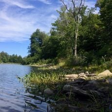
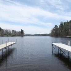
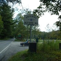
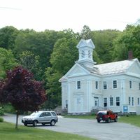
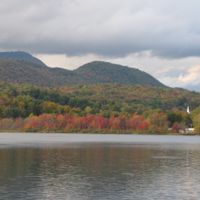
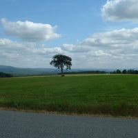
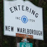
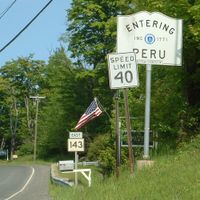
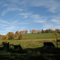
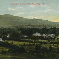
Berkshire County is an administrative area in the westernmost part of Massachusetts, bordering Vermont, New York, and Connecticut, covering roughly 600,000 acres. The region stretches across forested hills and valleys with several small towns set among farmland and wooded areas.

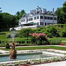
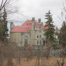
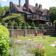
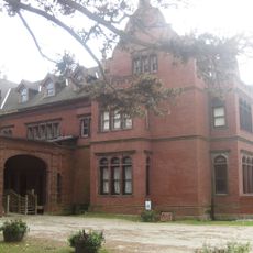
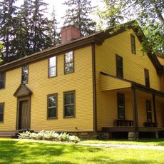
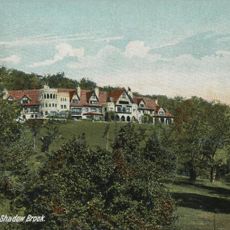
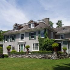
The administrative unit was established in 1761 from part of Hampshire County and named after the Berkshire Hills. In the late 19th century, wealthy families from New York and Boston built large summer estates here, shaping the landscape that remains visible today.

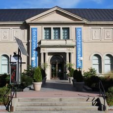
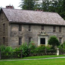
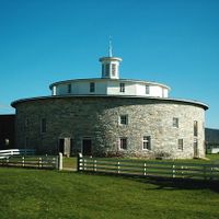
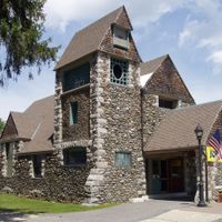
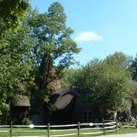
The Norman Rockwell Museum in Stockbridge displays over 900 original works by the artist, while Hancock Shaker Village presents the lifestyle of this 19th-century religious community. Visitors can walk through restored workshops and living quarters that show how the Shakers built furniture and tended their fields.

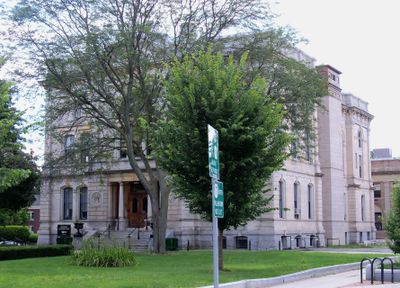
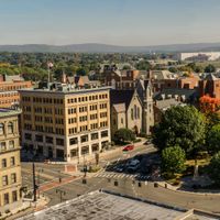
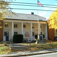
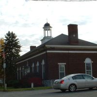
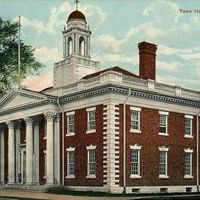
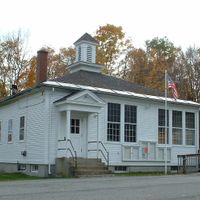
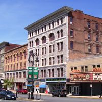
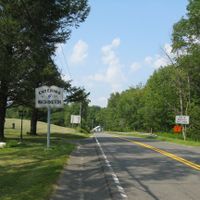
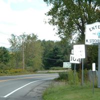
Pittsfield in the center serves as the administrative seat and offers bus connections to other towns across the region. Most attractions lie along Route 7, which runs north to south through the area and provides access to museums and historic sites.

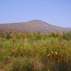
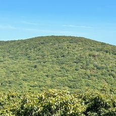
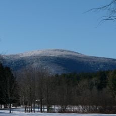
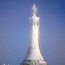
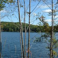
Mount Greylock rises to 1,063 meters (3,489 feet) and stands as the highest point in the state, offering views of five states from its summit on clear days. A gray stone war memorial sits atop the peak and serves as a landmark for hikers on the forested trails around it.

Location: Massachusetts

Inception: 1761

Capital city: Pittsfield

Shares border with: Bennington County, Franklin County, Hampshire County, Hampden County, Litchfield County, Dutchess County, Columbia County, Rensselaer County, Northwest Hills Planning Region

GPS coordinates: 42.39613,-73.20989

Latest update: December 13, 2025 17:47

Photos
Around this place
Show the full map
Reviews

Visited this place? Tap the stars to rate it and share your experience / photos with the community! Try now! You can cancel it anytime.

« Berkshire County - County in western Massachusetts, United States » is provided by Around Us (aroundus.com). Images and texts are derived from Wikimedia project under a Creative Commons license. You are allowed to copy, distribute, and modify copies of this page, under the conditions set by the license, as long as this note is clearly visible.

Discover hidden gems everywhere you go!

From secret cafés to breathtaking viewpoints, skip the crowded tourist spots and find places that match your style. Our app makes it easy with voice search, smart filtering, route optimization, and insider tips from travelers worldwide. Download now for the complete mobile experience.

Around Us App Screenshot

A unique approach to discovering new places

Le Figaro

All the places worth exploring

France Info

A tailor-made excursion in just a few clicks

20 Minutes