Bash Bish Falls, State waterfall in Mount Washington, Massachusetts
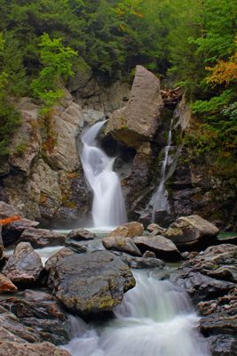
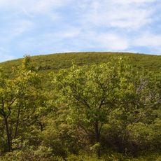
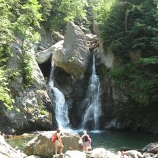
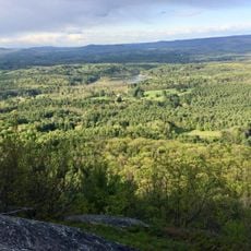
Bash Bish Falls is a waterfall in Berkshire County, Massachusetts, where the water divides into two parallel streams and drops 60 feet over granite cliffs into a clear pool below. Moss and ferns grow on the wet rock walls, while trees surround the upper sections and filter light through their colored leaves in autumn.
Mohican and Scaghticoke people lived in this area before European settlers arrived in the 18th century. The site later became part of a state park network that protects the natural landscape.
The name comes from indigenous languages of this region and is linked to local stories. Visitors often come to photograph the falling water and picnic along the flat banks below the cascade.
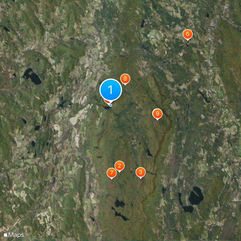
Two parking areas lead to the waterfall: a steep short trail from Massachusetts or a longer flatter path from New York State. The paths can become slippery after rain, so sturdy shoes are recommended.
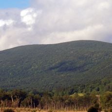
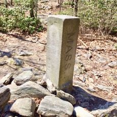
Writers Herman Melville and Henry David Thoreau visited this spot in the 19th century, and both mentioned it later in their work. The falls sit on the border between two states and connect three different protected areas.
The community of curious travelers
AroundUs brings together thousands of curated places, local tips, and hidden gems, enriched daily by 60,000 contributors worldwide.