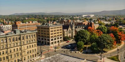
Pittsfield, County seat in Berkshire County, Massachusetts
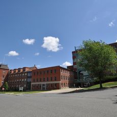
Pittsfield sits where the branches of the Housatonic River converge and spreads across valleys and hills at an elevation of 1,040 feet (317 meters). Streets run between residential neighborhoods and older brick buildings, while surrounding forested slopes mark the edges of town.
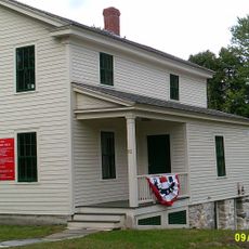
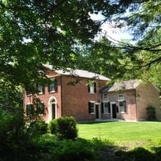
The settlement was originally called Pontoosuck, a Mohican name, before being incorporated as Pittsfield in 1761 following a land purchase by Colonel Jacob Wendell. During the 19th century the town grew through textile industry and railroad connections.
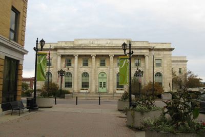
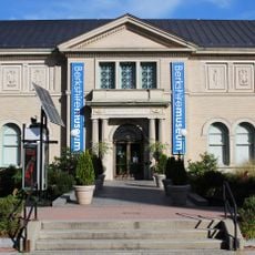
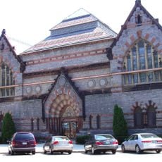
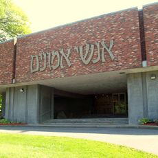
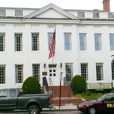
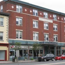
The North Street Cultural District gathers professional theaters, art galleries, and music venues that host regular performances. Community celebrations run throughout the year and shape the rhythm of city life.
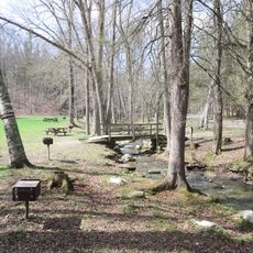
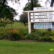
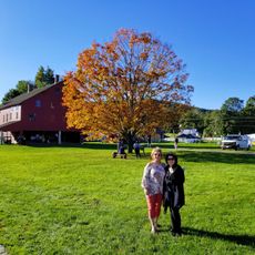
The main square lies on North Street, from where visitors can walk to most key facilities. The town serves as a starting point for trips into the surrounding Berkshire hills and their walking trails.
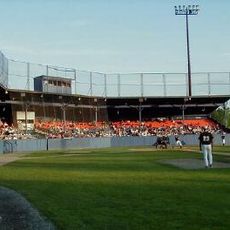
A document from 1791 mentions a baseball regulation and is considered the earliest known written reference to the sport in North America. This ordinance was issued to protect windows near the field where games took place.
Location: Berkshire County
Inception: 1752
Elevation above the sea: 317 m
Shares border with: Hancock, Lanesborough, Dalton, Washington, Lenox
Website: http://pittsfield-ma.org
GPS coordinates: 42.45000,-73.25000
Latest update: December 13, 2025 11:16
Wahconah Park
1.4 km
Arrowhead
3.9 km
Berkshire Museum
432 m
Pittsfield State Forest
5.6 km
Berkshire Athenaeum
281 mColonial Theater
531 mTower Mountain
8.6 kmHebert Arboretum
1.5 kmBerry Mountain
8 kmSmith Mountain
7.9 km
Pittsfield Cemetery
2 km
Temple Anshe Amunim
965 mPine Mountain
7.6 km
William Russell Allen House
352 m
Pilgrim Memorial Church and Parish House
1.8 km
Allen Hotel
257 m
Eaton, Crane & Pike Company Factory
956 m
Springside Park
2.4 km
Park Square Historic District
321 m
Berkshire Life Insurance Company Building
429 m
Samuel Harrison House
274 m
Hancock Shaker Village
7.6 km
Old Town Hall
312 m
Charles Whittlesey Power House
2.4 km
Upper North Street Commercial District
479 m
Nichols-Sterner House
7.4 kmCanoe Meadows Wildlife Sanctuary
2.4 km
Old Central High School
130 mVisited this place? Tap the stars to rate it and share your experience / photos with the community! Try now! You can cancel it anytime.
Discover hidden gems everywhere you go!
From secret cafés to breathtaking viewpoints, skip the crowded tourist spots and find places that match your style. Our app makes it easy with voice search, smart filtering, route optimization, and insider tips from travelers worldwide. Download now for the complete mobile experience.
A unique approach to discovering new places❞
— Le Figaro
All the places worth exploring❞
— France Info
A tailor-made excursion in just a few clicks❞
— 20 Minutes