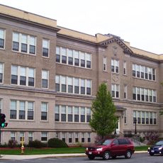
North Adams, City settlement in Berkshire County, Massachusetts, United States.
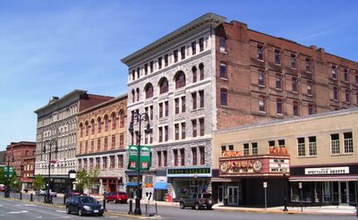
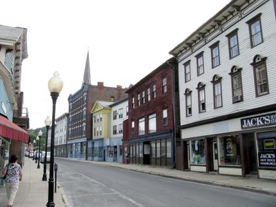
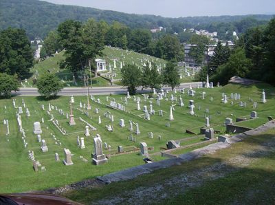
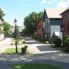
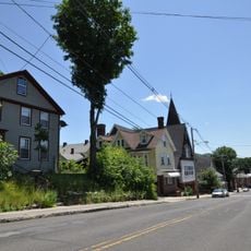
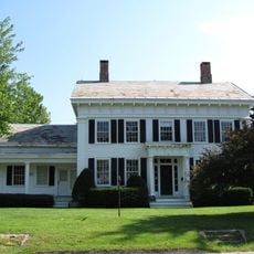
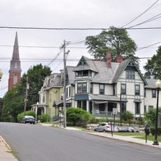
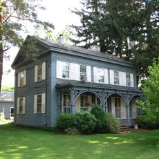
North Adams is a city in Massachusetts nestled within the Berkshire mountain region, where the Hoosic River runs through the community. The landscape features rolling terrain and forested areas that define the character of this New England settlement.
The settlement started in 1745 as a line of defensive forts along the Hoosic River, built by Massachusetts militia during an earlier colonial conflict. These military installations marked the beginning of permanent European presence in the area.
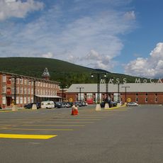
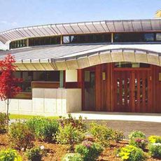
The Massachusetts Museum of Contemporary Art fills former factory buildings with works by artists from around the world, creating one of the largest spaces dedicated to contemporary art in the country. This transformation shows how industrial heritage can become a center for modern creative expression.
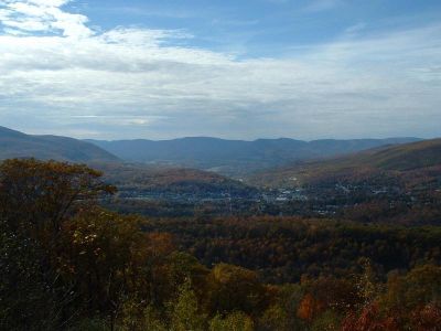
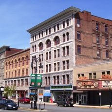
The city sits in a valley that is easily reached by roads passing through the surrounding hills. Plan for hilly terrain when exploring the area, and wear appropriate footwear if you intend to walk through the neighborhood or nearby trails.
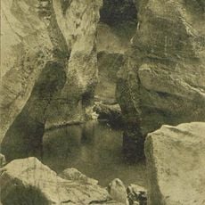
Within Natural Bridge State Park lies North America's only natural white marble bridge, carved by water flowing through ancient limestone over many centuries. This rare geological formation offers visitors a glimpse of natural processes at work.
The community of curious travelers
AroundUs brings together thousands of curated places, local tips, and hidden gems, enriched daily by 60,000 contributors worldwide.