Blackinton Historic District

Log in to your account

AroundUs is a community-driven map of interesting places, built by curious explorers like you. It grows with every review, story, and photo you share.
Connect to save your favorite spots, contribute locations, and create personalized routes.
Continue with Google
Continue with Apple
Continue with X
Continue with Facebook
Continue with email
By continuing, you accept our Terms and Conditions and our Privacy Policy
Create an account
Add to collection
Map
Suggest a change
Share

Blackinton Historic District, Historic mill district in North Adams, United States

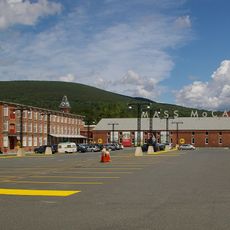
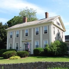
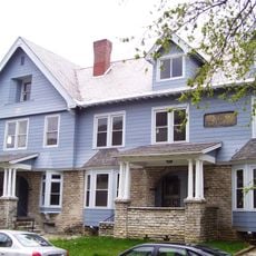
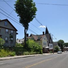
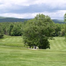
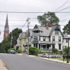
The Blackinton Historic District is an industrial area in North Adams with brick mill buildings and Victorian-era houses spread across about 240 acres. The main street, Massachusetts Avenue, runs through the center while the district sits west of downtown with the Hoosic River forming its southern boundary.

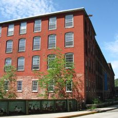
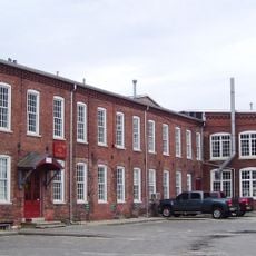
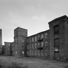
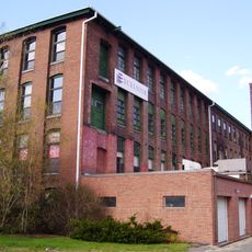
The area was founded in 1821 when Sanford Blackinton and his partners opened a wool mill that grew into a major manufacturer in western Massachusetts. The operation ran for more than a century, shaping the region until the mill closed around 1950.

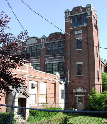
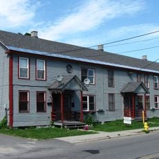
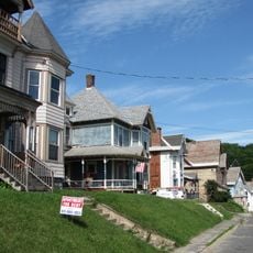
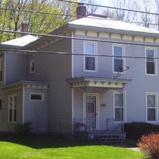
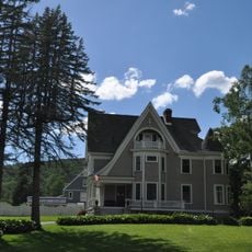
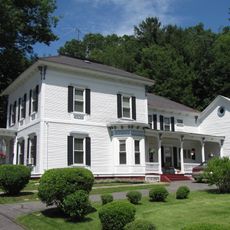
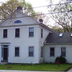
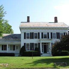
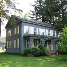
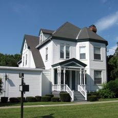
The district is named after Sanford Blackinton and still shows the social divisions of industrial times, with large factory buildings standing near modest worker housing while churches and the old Company Store anchored community life. Walking through, the mix of building types reveals how the place was organized by class and work.

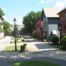
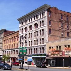
The district follows a straight line along Massachusetts Avenue, making it easy to explore by car or on foot to see the different building types from west to east. The terrain is relatively flat and walkable, and you can easily reach it by heading west from the downtown area.

Residents identified so strongly with this place that until the mill closed they thought of themselves as part of Blackinton rather than North Adams. This sense of belonging came from the tight-knit communities that formed around the factory and its operations.

Location: North Adams

GPS coordinates: 42.69056,-73.10222

Latest update: December 14, 2025 14:24

Photos
Around this place
Massachusetts Museum of Contemporary Art
United States of America

Massachusetts Museum of Contemporary Art

1.7 km
Natural Bridge State Park
United States of America

Natural Bridge State Park

1.9 km
Western Gateway Heritage State Park
United States of America

Western Gateway Heritage State Park

1.2 km
Mount Fitch
United States of America

Mount Fitch

6.1 km
Clarksburg State Park
United States of America

Clarksburg State Park

5.3 km
Wells House
United States of America

Wells House

2.8 km
The Boardman
United States of America

The Boardman

330 m
Congregation Beth Israel
United States of America

Congregation Beth Israel

5.5 km
Quaker Meetinghouse
United States of America

Quaker Meetinghouse

7.3 km
Hillside Cemetery
United States of America

Hillside Cemetery

2 km
Church Street Historic District
United States of America

Church Street Historic District

794 m
North Adams Country Club
United States of America

North Adams Country Club

4 km
Beaver Mill
United States of America

Beaver Mill

1.5 km
Hathaway Tenement
United States of America

Hathaway Tenement

2.1 km
Windsor Print Works
United States of America

Windsor Print Works

1.1 km
Freeman's Grove Historic District
United States of America

Freeman's Grove Historic District

863 m
Charles Browne House
United States of America

Charles Browne House

1.4 km
Tudor House
United States of America

Tudor House

7.3 km
Armstrong House
United States of America

Armstrong House

2.1 km
Crowley House
United States of America

Crowley House

2.3 km
Eber Sherman Farm
United States of America

Eber Sherman Farm

5.6 km
Renfrew Mill No. 2
United States of America

Renfrew Mill No. 2

5.9 km
Church Street-Caddy Hill Historic District
United States of America

Church Street-Caddy Hill Historic District

794 m
William B. Sherman Farm
United States of America

William B. Sherman Farm

5.9 km
Sykes House
United States of America

Sykes House

2.7 km
Normal School Historic District
United States of America

Normal School Historic District

55 m
Monument Square-Eagle Street Historic District
United States of America

Monument Square-Eagle Street Historic District

996 m
Norad Mill
United States of America

Norad Mill

3.1 km
Show the full map
Reviews

Visited this place? Tap the stars to rate it and share your experience / photos with the community! Try now! You can cancel it anytime.

« Blackinton Historic District - Historic mill district in North Adams, United States » is provided by Around Us (aroundus.com). Images and texts are derived from Wikimedia project under a Creative Commons license. You are allowed to copy, distribute, and modify copies of this page, under the conditions set by the license, as long as this note is clearly visible.

Discover hidden gems everywhere you go!

From secret cafés to breathtaking viewpoints, skip the crowded tourist spots and find places that match your style. Our app makes it easy with voice search, smart filtering, route optimization, and insider tips from travelers worldwide. Download now for the complete mobile experience.

Around Us App Screenshot

A unique approach to discovering new places

Le Figaro

All the places worth exploring

France Info

A tailor-made excursion in just a few clicks

20 Minutes