Adams, Mountain settlement in Berkshire County, United States.
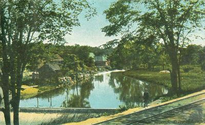
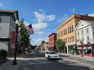
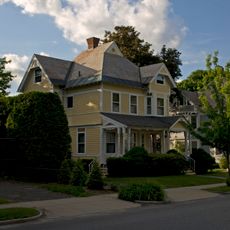
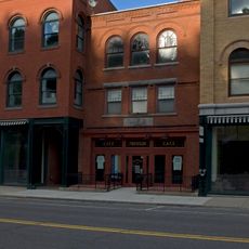
Adams is a town set in a valley between Mount Greylock and the Hoosac Range, with residential neighborhoods and buildings from its textile industry past. The Hoosic River runs through the area and shapes the landscape of this mountain region.
The town was founded in 1762 as East Hoosuck and later renamed, while textile mills began operating along the Hoosic River. The river's water power drove the factories and made Adams a key production center in the 1800s.
The Susan B. Anthony Birthplace Museum shows how this women's rights leader grew up in Adams and what shaped her childhood. Visitors can see personal items and documents that reflect her early life in the town.
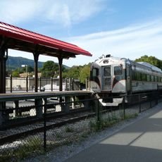
The Ashuwillticook Rail Trail offers a paved path for walking, cycling, and cross-country skiing in different seasons. The route runs through the valley and connects several communities, making it a popular option for outdoor activities.
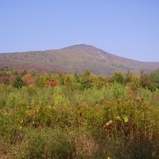
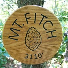
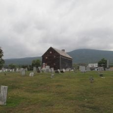
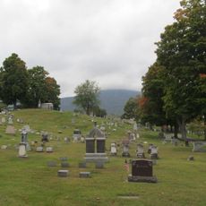
The highest mountain in Massachusetts, Mount Greylock, rises directly from the eastern edge of the town center and dominates the skyline. Its presence shapes how the town looks and the views shift constantly with changing light throughout the day.
Location: Berkshire County
Inception: 1762
Elevation above the sea: 244 m
Shares border with: North Adams, New Ashford, Williamstown, Florida, Savoy, Cheshire
Website: http://town.adams.ma.us
GPS coordinates: 42.62417,-73.11806
Latest update: December 14, 2025 00:03
Mount Greylock
4.2 km
Berkshire Scenic Railway Museum
144 m
Mount Fitch
4.9 km
Anthony House
1.6 km
Pittsfield and North Adams Railroad
277 m
Quaker Meetinghouse
742 m
Hoosac Street School
345 m
Forest Park Country Club
681 m
Maple Street Cemetery
599 m
Summer Street Historic District
625 m
Raven Rocks
2.8 km
Summer Street Historic District
620 m
Mount Greylock Summit Historic District
4.4 km
McKinley Statue
157 m
Scenic viewpoint
3.5 km
Susan B. Anthony
524 m
Scenic viewpoint
2.2 km
Scenic viewpoint
4.1 km
Robinson's Point
4.5 km
Fitch Overlook
5.3 km
Park Street Firehouse
266 m
Ragged Mountain
3.3 km
Scenic viewpoint
3.1 km
Adams Overlook
4 km
Scenic viewpoint
4.8 km
Scenic viewpoint
4.7 km
Scenic viewpoint
4.7 km
Waterfall
2.9 kmVisited this place? Tap the stars to rate it and share your experience / photos with the community! Try now! You can cancel it anytime.
Discover hidden gems everywhere you go!
From secret cafés to breathtaking viewpoints, skip the crowded tourist spots and find places that match your style. Our app makes it easy with voice search, smart filtering, route optimization, and insider tips from travelers worldwide. Download now for the complete mobile experience.
A unique approach to discovering new places❞
— Le Figaro
All the places worth exploring❞
— France Info
A tailor-made excursion in just a few clicks❞
— 20 Minutes