Boxford, human settlement in Essex County, Massachusetts, United States of America
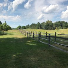
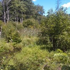
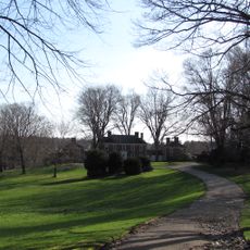
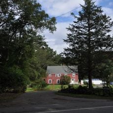
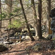
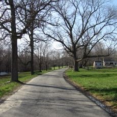
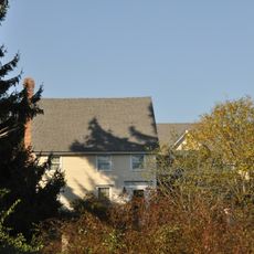
Boxford is a small town in Essex County, Massachusetts, stretching north of Boston with homes set on large lots, open fields, and wooded areas. The settlement consists of scattered houses, a few local shops, and quiet roads lined with trees and farmland throughout.
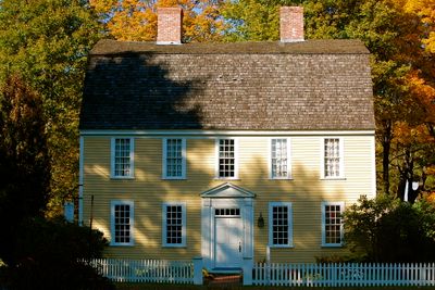
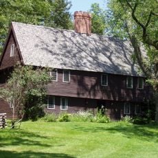
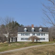
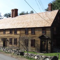
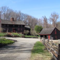
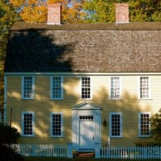
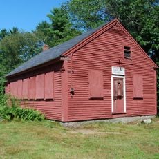
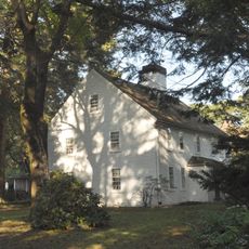
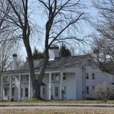
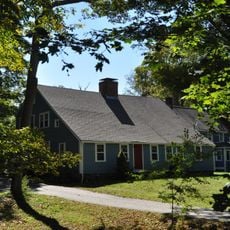
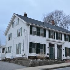
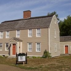
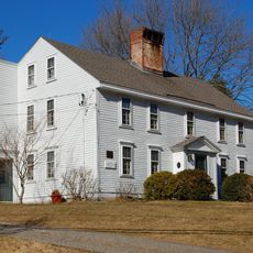
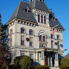
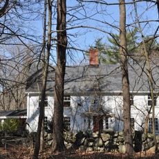
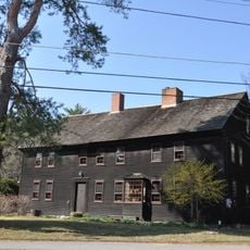
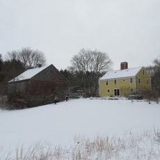
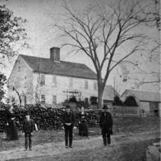
Boxford was founded in 1685 and developed as an agricultural community with farms and orchards shaping early economic life. Many historic buildings remain throughout the town, documenting its settlement origins and the way this rural region evolved over centuries.
Boxford's name comes from English place-naming tradition, referring to a ford crossing a stream. The scattered farms and orchards you see throughout the town reflect how residents have shaped this landscape over generations and continue to value agricultural roots and outdoor community life.
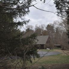
The town is easy to explore by car, with parking usually available and roads calm and manageable. Shops and services are distributed throughout, so visitors can reach what they need on foot or with short drives.
Carl Yastrzemski, a baseball legend and Hall of Fame player, was born in Boxford and remains a point of community pride. The town also earned the Tree City USA award for five consecutive years, demonstrating how residents prioritize tree planting and maintaining green spaces.
The community of curious travelers
AroundUs brings together thousands of curated places, local tips, and hidden gems, enriched daily by 60,000 contributors worldwide.