Chest opened
+${chestReward.xp} XP
Explorer
NOUVEAU ×${chestReward.collectible.quantity}
tapez pour fermer
Chest locked

Open chests in the app

Around Us is built for your phone — chests unlock when you walk, explore and capture nearby places.

Enable Location

We need your location to show you interesting places around you

Discover nearby places

Find interesting locations and hidden gems around you

Precise directions

Get accurate directions and distances to places

Your location is never shared with other users. It's only used when you tap the location button.

Bridgewater

Log in to your account

Start exploring — it's free

Trusted by 72,876 travelers worldwide

Continue with Google
Continue with Apple
or

We will send you a code to connect

By continuing, you accept our Terms and Conditions and our Privacy Policy

Check your inbox

We've sent a pincode in your inbox. Please enter the code below.

Discussion Reviews 1 Photos
16.8k Popularity

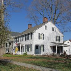
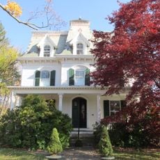
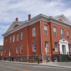
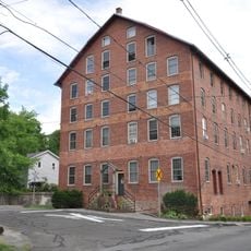
Bridgewater, Administrative division in Plymouth County, Massachusetts, US.

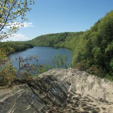
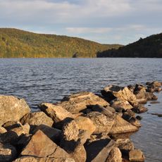
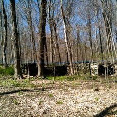
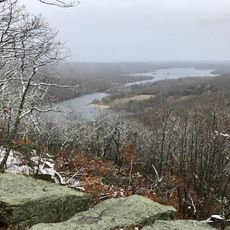
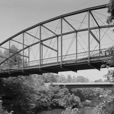
Bridgewater is an administrative division in Plymouth County, Massachusetts, spread across an expansive landscape with numerous water features. The Taunton River runs through the town, with several ponds and conservation areas within its boundaries.

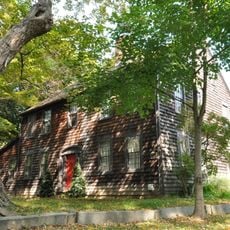
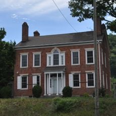
The town was established in 1656 by settlers from Duxbury as part of Plymouth Colony. It grew from an early settlement into an established community over the following centuries.

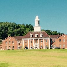
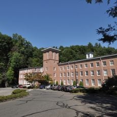
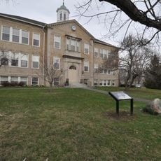
Bridgewater State University, founded in 1840, shapes the educational life of the town as a major academic institution. It influences the community's character through its presence and role as a significant employer.

The town is accessible via Interstate 495, Route 24, and commuter rail service through the Massachusetts Bay Transportation Authority. Visitors should plan for different modes of transportation and explore the local roads to navigate the community.

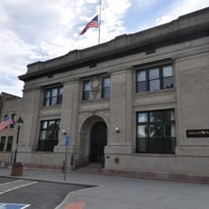
The town's government structure was reformed in 2011, moving from a Board of Selectmen to a Town Council and Town Manager system. This change altered how the community makes decisions and manages its operations.

The community of curious travelers

AroundUs brings together thousands of curated places, local tips, and hidden gems, enriched daily by 60,000 contributors worldwide.

Start exploring
GPS coordinates
41.53509,-73.36623
Latest update
December 7, 2025 19:26
Around this place
Southbury Training School
United States of America

Southbury Training School

11.1 km
Lovers Leap State Park
United States of America

Lovers Leap State Park

3.2 km
Squantz Pond State Park
United States of America

Squantz Pond State Park

9.6 km
Lillinonah Trail
United States of America

Lillinonah Trail

9.6 km
South Britain Historic District
United States of America

South Britain Historic District

12.1 km
Pootatuck State Forest
United States of America

Pootatuck State Forest

11.2 km
Russian Village Historic District
United States of America

Russian Village Historic District

13.5 km
New York Belting and Packing Co.
United States of America

New York Belting and Packing Co.

13.7 km
Brookfield Center Historic District
United States of America

Brookfield Center Historic District

7.7 km
Mine Hills Preserve
United States of America

Mine Hills Preserve

3.9 km
Caleb Baldwin Tavern
United States of America

Caleb Baldwin Tavern

14.4 km
Glover House
United States of America

Glover House

14.1 km
Newtown Borough Historic District
United States of America

Newtown Borough Historic District

14.5 km
Boardman's Bridge
United States of America

Boardman's Bridge

9.6 km
John Glover House
United States of America

John Glover House

10.9 km
John Glover Noble House
United States of America

John Glover Noble House

5.6 km
Camps Nos. 10 and 41 of Rochambeau's Army
United States of America

Camps Nos. 10 and 41 of Rochambeau's Army

14.4 km
United Bank Building
United States of America

United Bank Building

6 km
New Milford Center Historic District
United States of America

New Milford Center Historic District

6.2 km
Cosier-Murphy House
United States of America

Cosier-Murphy House

11.6 km
J. S. Halpine Tobacco Warehouse
United States of America

J. S. Halpine Tobacco Warehouse

5.6 km
E. A. Wildman & Co. Tobacco Warehouse
United States of America

E. A. Wildman & Co. Tobacco Warehouse

6 km
Leroy Anderson House
United States of America

Leroy Anderson House

10.9 km
Bridgewater Center Historic District
United States of America

Bridgewater Center Historic District

17 m
Frederick S. Sanford House
United States of America

Frederick S. Sanford House

592 m
Roxbury Center
United States of America

Roxbury Center

5.4 km
Lover's Leap Bridge
United States of America

Lover's Leap Bridge

3.5 km
Bank Street Theater
United States of America

Bank Street Theater

6.1 km
Show the full map
Reviews
Share your experience

No review yet

Discussions
Start a discussion...

No discussion yet

« Bridgewater - Administrative division in Plymouth County, Massachusetts, US » is provided by Around Us (aroundus.com). Images and texts are derived from Wikimedia project under a Creative Commons license. You are allowed to copy, distribute, and modify copies of this page, under the conditions set by the license, as long as this note is clearly visible.

Discover hidden gems everywhere you go!

From secret cafés to breathtaking viewpoints, skip the crowded tourist spots and find places that match your style. Our app makes it easy with voice search, smart filtering, route optimization, and insider tips from travelers worldwide. Download now for the complete mobile experience.

Around Us App Screenshot

A unique approach to discovering new places

Le Figaro

All the places worth exploring

France Info

A tailor-made excursion in just a few clicks

20 Minutes

Around Us
Travel Guide & Maps
Download

Send to your phone

QR Code
1

Open the camera app on your mobile.

2

Point at the QR code with your camera. A notification will appear.

3

Tap the notification to open the link.