
Burlington, town in Hartford County, Connecticut, United States
Location: Northwest Hills Planning Region
Location: Litchfield County
Inception: 1806
Elevation above the sea: 269 m
Website: http://burlingtonct.us
GPS coordinates: 41.75861,-72.95778
Latest update: March 8, 2025 05:37

Muzzy Field
9.5 km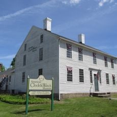
American Clock & Watch Museum
8.9 km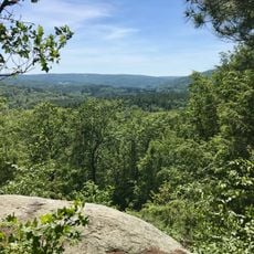
Nepaug State Forest
8.8 km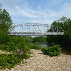
Town Bridge
7.7 km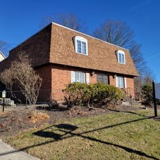
Lock Museum of America
9.9 km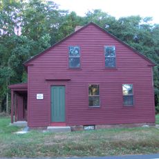
Horse Guard State Park
9 km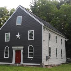
East Plymouth Historic District
8.1 km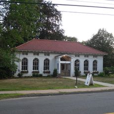
West End Library
5.8 km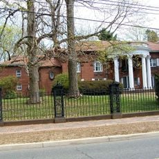
Beleden House
9.4 km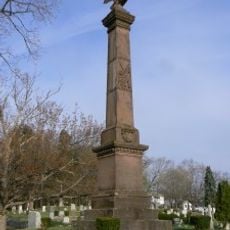
Soldiers' Monument in Bristol, Connecticut
1.8 km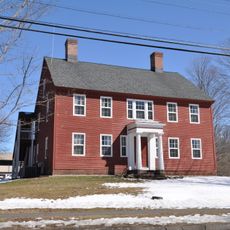
Gridley-Parsons-Staples Homestead
7.5 km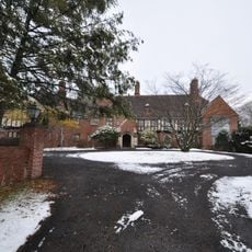
Copper Ledges and Chimney Crest
9.1 km
John Wiard House
2.7 km
Ernest R. Burwell House
8.7 km
Jason Skinner House
9.4 km
New Haven District Campground
9.9 km
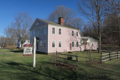
Brown Tavern
1.3 km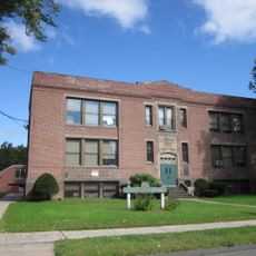
Clara T. O'Connell School
9.6 km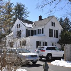
Hart's Corner Historic District
5.2 km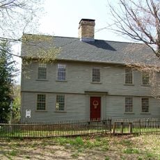
William Jerome I House
7 km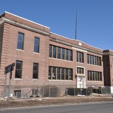
Clarence A. Bingham School
8.6 km
Burlington–Harmony Hill Roads Historic District
7.8 km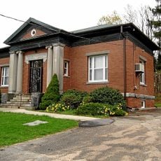
Litchfield–South Roads Historic District
8.6 km
Pine Grove Historic District
8.5 km
Endee Manor Historic District
8.9 km
Treadwell House
1.3 km
Townsend G. Treadway House
8.8 km
Collinsville Historic District
6.6 kmReviews
Visited this place? Tap the stars to rate it and share your experience / photos with the community! Try now! You can cancel it anytime.
Discover hidden gems everywhere you go!
From secret cafés to breathtaking viewpoints, skip the crowded tourist spots and find places that match your style. Our app makes it easy with voice search, smart filtering, route optimization, and insider tips from travelers worldwide. Download now for the complete mobile experience.

A unique approach to discovering new places❞
— Le Figaro
All the places worth exploring❞
— France Info
A tailor-made excursion in just a few clicks❞
— 20 Minutes