
East Granby, human settlement in Connecticut, United States of America
Location: Capitol Planning Region
Location: Hartford County
Inception: 1858
Elevation above the sea: 94 m
Website: https://eastgranbyct.org
GPS coordinates: 41.94667,-72.74111
Latest update: March 4, 2025 05:14
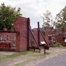
Old Newgate Prison
1.7 km
S1C reactor
7.8 km
Peak Mountain
1.4 km
Enders State Forest
2.9 km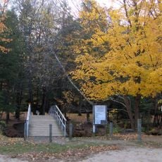
McLean Game Refuge
4.9 km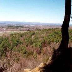
West Suffield Mountain
6.1 km
Northwest Park
5.6 km
Frederick H. Cossitt Library
9.2 km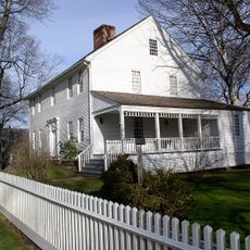
Alexander King House
7.9 km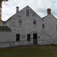
Viets' Tavern
1.7 km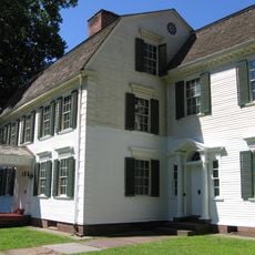
Hatheway House
8.2 km
Granby Center Historic District
4.3 km
Terry's Plain Historic District
7.9 km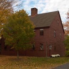
Nathaniel Holcomb III House
5.8 km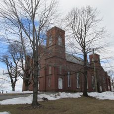
Suffield Historic District
8.3 km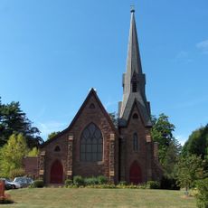
Tariffville Historic District
4.5 km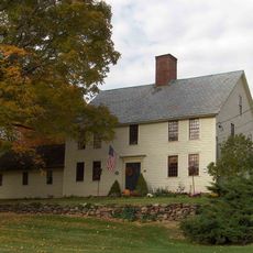
Ezekiel Phelps House
573 m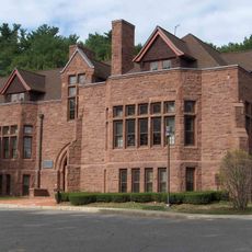
Horace Belden School and Central Grammar School
8.9 km
Whitfield Cowles House
3.6 km
Samuel Hayes II House
6.4 km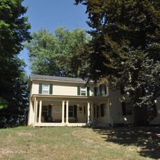
Noden-Reed Museum
8.5 km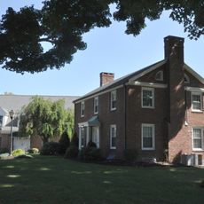
East Granby Historic District
1.5 km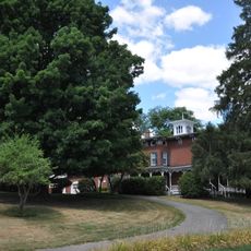
Eli Phelps House
8.3 km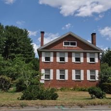
Benomi Case House
5.1 km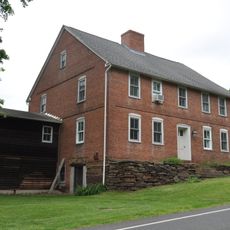
Lewis-Zukowski House
3 km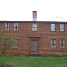
Salmon Brook Historical Society
4.1 km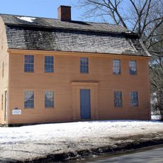
Judah Holcomb House
7.5 km
New England Air Museum
4.1 kmVisited this place? Tap the stars to rate it and share your experience / photos with the community! Try now! You can cancel it anytime.
Discover hidden gems everywhere you go!
From secret cafés to breathtaking viewpoints, skip the crowded tourist spots and find places that match your style. Our app makes it easy with voice search, smart filtering, route optimization, and insider tips from travelers worldwide. Download now for the complete mobile experience.

A unique approach to discovering new places❞
— Le Figaro
All the places worth exploring❞
— France Info
A tailor-made excursion in just a few clicks❞
— 20 Minutes