Chest opened
+${chestReward.xp} XP
Explorer
NOUVEAU ×${chestReward.collectible.quantity}
tapez pour fermer
Chest locked

Open chests in the app

Around Us is built for your phone — chests unlock when you walk, explore and capture nearby places.

Enable Location

We need your location to show you interesting places around you

Discover nearby places

Find interesting locations and hidden gems around you

Precise directions

Get accurate directions and distances to places

Your location is never shared with other users. It's only used when you tap the location button.

Lancaster

Log in to your account

Start exploring — it's free

Trusted by 72,879 travelers worldwide

Continue with Google
Continue with Apple
or

We will send you a code to connect

By continuing, you accept our Terms and Conditions and our Privacy Policy

Check your inbox

We've sent a pincode in your inbox. Please enter the code below.

Discussion Reviews 1 Photos
23.7k Popularity

Lancaster, Historic town in Worcester County, Massachusetts

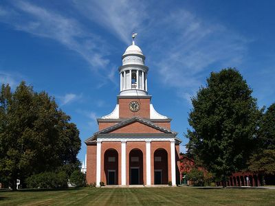
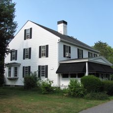
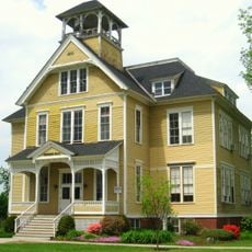
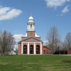
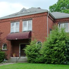
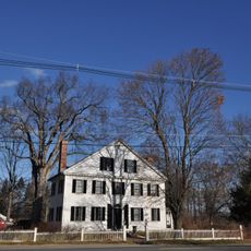
Lancaster is a town in Worcester County, Massachusetts, situated in the New England region. The community spreads across residential neighborhoods and green spaces with a downtown area that serves as the civic center.

The town was founded in 1643 under the name Nashaway and ranks among the oldest established communities in Worcester County. Its establishment marked one of the early European settlements in the region.

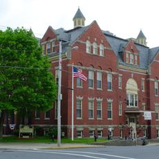
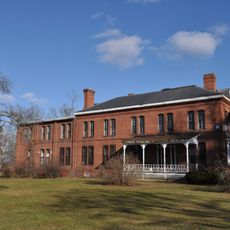
The Thayer Memorial Library, established in 1868, functions as a central educational institution providing resources and programs for Lancaster residents.

The best time to explore is during warmer months when streets and parks see the most activity and community events happen. Plan time to walk or drive through the different neighborhoods and get a feel for daily life.

The area was once home to the Beaman Oak, one of the largest oak trees in Massachusetts that drew visitors and residents for generations. This natural landmark shaped the landscape until its removal in 1989.

The community of curious travelers

AroundUs brings together thousands of curated places, local tips, and hidden gems, enriched daily by 60,000 contributors worldwide.

Start exploring
Location
Inception
1643
Elevation above the sea
91 m
Shares border with
Shirley, Clinton, Sterling
GPS coordinates
42.45556,-71.67361
Latest update
December 20, 2025 13:47
Around this place
St. Benedict Abbey
United States of America

St. Benedict Abbey

5.5 km
Oxbow National Wildlife Refuge
United States of America

Oxbow National Wildlife Refuge

6.2 km
United States of America

Museum of Russian Icons

4.5 km
Bigelow Carpet Mill
United States of America

Bigelow Carpet Mill

4.6 km
Nathaniel Thayer Estate
United States of America

Nathaniel Thayer Estate

768 m
Shirley Shaker Village
United States of America

Shirley Shaker Village

8.1 km
Ponakin Bridge
United States of America

Ponakin Bridge

3 km
Woodlawn Cemetery
United States of America

Woodlawn Cemetery

4.3 km
Bigelow Carpet Company Woolen Mills
United States of America

Bigelow Carpet Company Woolen Mills

4.5 km
Atherton Bridge
United States of America

Atherton Bridge

1.2 km
Downtown Clinton Historic District
United States of America

Downtown Clinton Historic District

4.3 km
North Village Historic District
United States of America

North Village Historic District

1.8 km
Founder's Hall
United States of America

Founder's Hall

1.6 km
First Methodist Church
United States of America

First Methodist Church

4.4 km
Center Village District
United States of America

Center Village District

231 m
Bowers School
United States of America

Bowers School

4.1 km
Anthony Lane House
United States of America

Anthony Lane House

1.2 km
Corcoran School
United States of America

Corcoran School

4.4 km
South Lancaster Engine House
United States of America

South Lancaster Engine House

1.7 km
United States of America

The Icon Museum and Study Center

4.5 km
Lancaster Industrial School for Girls
United States of America

Lancaster Industrial School for Girls

1.9 km
United States of America

White Pond

7.3 km
United States of America

Lancaster State Forest

5.3 km
United States of America

Fort Pond

7.6 km
Old Settlers' Burying Ground
United States of America

Old Settlers' Burying Ground

745 m
United States of America

The International

3.1 km
United States of America

Sterling National Country Club

4 km
United States of America

Work of art, sculpture

7.7 km
Show the full map
Reviews
Share your experience

No review yet

Discussions
Start a discussion...

No discussion yet

« Lancaster - Historic town in Worcester County, Massachusetts » is provided by Around Us (aroundus.com). Images and texts are derived from Wikimedia project under a Creative Commons license. You are allowed to copy, distribute, and modify copies of this page, under the conditions set by the license, as long as this note is clearly visible.

Discover hidden gems everywhere you go!

From secret cafés to breathtaking viewpoints, skip the crowded tourist spots and find places that match your style. Our app makes it easy with voice search, smart filtering, route optimization, and insider tips from travelers worldwide. Download now for the complete mobile experience.

Around Us App Screenshot

A unique approach to discovering new places

Le Figaro

All the places worth exploring

France Info

A tailor-made excursion in just a few clicks

20 Minutes

Around Us
Travel Guide & Maps
Download

Send to your phone

QR Code
1

Open the camera app on your mobile.

2

Point at the QR code with your camera. A notification will appear.

3

Tap the notification to open the link.