
Douglas, town in Worcester County, Massachusetts, United States
Location: Worcester County
Inception: 1721
Elevation above the sea: 177 m
Website: http://douglasma.org
GPS coordinates: 42.05417,-71.74000
Latest update: March 6, 2025 00:55
Purgatory Chasm State Reservation
8.5 km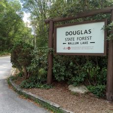
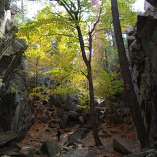
Douglas State Forest
2.9 km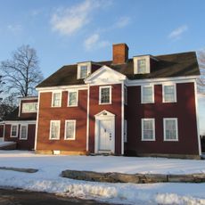
Waters Farm
6.8 km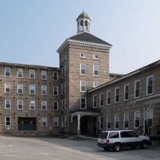
Manchaug Village Historic District
4.5 km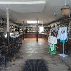
E. N. Jenckes Store
2.9 km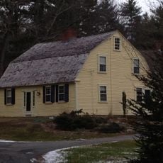
Aaron Taft House
7.8 km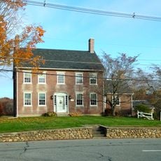
Jacob Aldrich House
8.6 km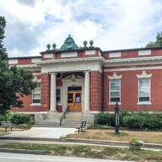
Simon Fairfield Public Library
3 km
Joseph Richardson House
6.2 km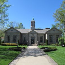
Whitinsville Historic District
8.5 km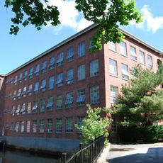
Hayward Mill
3.3 km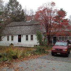
Samuel Taft House
8.1 km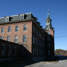
Linwood Historic District
9.1 km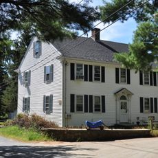
George Taft House
8.4 km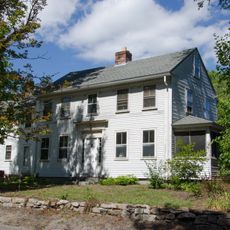
E. Brown House
8.4 km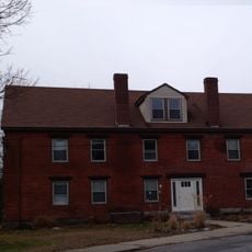
Butler Block
9.2 km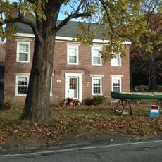
Seth Aldrich House
8.9 km
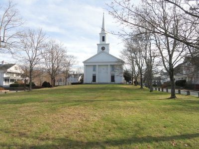
Old Douglas Center Historic District
73 m
C.R. Thomson House and Barn
5.5 km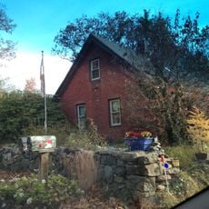
Daniel Aldrich Cottage and Sawmill
8.6 km
S. A. Hall House
9 km
A. Whipple House
7.2 km
Rivulet Mill Complex
8.7 km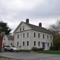
N. Williams House
6.5 km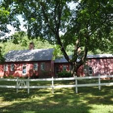
Elisha Southwick House
8 km
West Sutton Historic District
8.7 km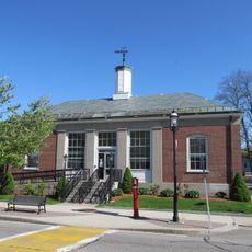
United States Post Office–Whitinsville Main
8.9 km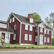
Waters Farm
6.7 kmVisited this place? Tap the stars to rate it and share your experience / photos with the community! Try now! You can cancel it anytime.
Discover hidden gems everywhere you go!
From secret cafés to breathtaking viewpoints, skip the crowded tourist spots and find places that match your style. Our app makes it easy with voice search, smart filtering, route optimization, and insider tips from travelers worldwide. Download now for the complete mobile experience.

A unique approach to discovering new places❞
— Le Figaro
All the places worth exploring❞
— France Info
A tailor-made excursion in just a few clicks❞
— 20 Minutes