Chest opened
+${chestReward.xp} XP
Explorer
NOUVEAU ×${chestReward.collectible.quantity}
tapez pour fermer
Chest locked

Open chests in the app

Around Us is built for your phone — chests unlock when you walk, explore and capture nearby places.

Enable Location

We need your location to show you interesting places around you

Discover nearby places

Find interesting locations and hidden gems around you

Precise directions

Get accurate directions and distances to places

Your location is never shared with other users. It's only used when you tap the location button.

Log in to your account

Start exploring — it's free

Trusted by 72,880 travelers worldwide

Continue with Google
Continue with Apple
or

We will send you a code to connect

By continuing, you accept our Terms and Conditions and our Privacy Policy

Check your inbox

We've sent a pincode in your inbox. Please enter the code below.

Discussion Reviews Photo
45.9k Popularity

Waxhaws, Geographic region in North and South Carolina, United States.

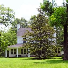
The Waxhaws is a geographic region spanning Lancaster, Union, and Mecklenburg counties across both states, connecting North and South Carolina. The land features forested hills and natural landscapes characteristic of the Piedmont zone.

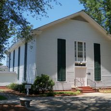
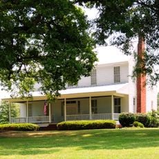
The area was named after the Waxhaw people who lived here for centuries before their numbers declined following European arrival in the early 1700s. The region saw significant activity during the American Revolution as settlers resisted British forces.

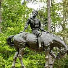
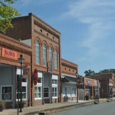
The region carries the name of the Waxhaw people who shaped its early identity through their long presence here. Today, local landmarks and institutions reflect this heritage and the area's role in early settlement patterns of the Carolinas.

The region stretches from Charlotte in the north down to Lancaster in the south, and from Monroe in the west to the Catawba River. Visitors will find accessible locations with historical sites that are straightforward to explore.

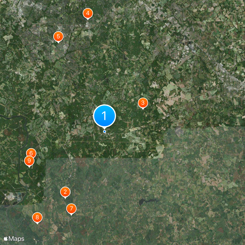
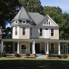
Two United States presidents, Andrew Jackson and James K. Polk, were born in this region and shaped American history after leaving. This presidential connection gives the Waxhaws particular significance in the nation's past.

The community of curious travelers

AroundUs brings together thousands of curated places, local tips, and hidden gems, enriched daily by 60,000 contributors worldwide.

Start exploring
Location
Location
GPS coordinates
34.92587,-80.74590
Latest update
March 5, 2026 18:15
Around this place
Andrew Jackson State Park
United States of America

Andrew Jackson State Park

11 km
Pleasant Grove Camp Meeting Ground
United States of America

Pleasant Grove Camp Meeting Ground

6.4 km
Providence Presbyterian Church and Cemetery
United States of America

Providence Presbyterian Church and Cemetery

16.2 km
United States of America

James A. Blakeney House

14.3 km
United States of America

Adam Ivy House

11.2 km
North Carolina-South Carolina Cornerstone
United States of America

North Carolina-South Carolina Cornerstone

12.8 km
Cureton House
United States of America

Cureton House

16.2 km
Massey-Doby-Nisbet House
United States of America

Massey-Doby-Nisbet House

11.8 km
Waxhaw Historic District
United States of America

Waxhaw Historic District

297 m
Thomas Walker Huey House
United States of America

Thomas Walker Huey House

12.6 km
Waxhaw-Weddington Roads Historic District
United States of America

Waxhaw-Weddington Roads Historic District

17.1 km
United States of America

Sidney and Ethel Grier House

15.2 km
United States of America

John Washington McKinney House

15.9 km
United States of America

Green Morris Farm

14.5 km
United States of America

Aero Plantation Lake Number Two

7.5 km
United States of America

Aero Plantation Lake Number One

7.9 km
United States of America

Redstone 14 Cinemas

12.7 km
United States of America

The Club at Longview

11.7 km
United States of America

Providence Country Club

13.2 km
United States of America

Ballantyne Country Club

16.5 km
United States of America

Firethorne Country Club

11.5 km
United States of America

Carolina Lakes Golf Club

9.6 km
United States of America

Stonebridge Golf Club

10.2 km
United States of America

Amphitheater

9.8 km
United States of America

AKHS Rock

13.6 km
United States of America

YMCA Decorative Overhang

15.1 km
United States of America

Spirit of Nature

480 m
United States of America

Scenic viewpoint

14.5 km
Show the full map
Reviews
Share your experience

No review yet

Discussions
Start a discussion...

No discussion yet

« Waxhaws - Geographic region in North and South Carolina, United States » is provided by Around Us (aroundus.com). Images and texts are derived from Wikimedia project under a Creative Commons license. You are allowed to copy, distribute, and modify copies of this page, under the conditions set by the license, as long as this note is clearly visible.

Discover hidden gems everywhere you go!

From secret cafés to breathtaking viewpoints, skip the crowded tourist spots and find places that match your style. Our app makes it easy with voice search, smart filtering, route optimization, and insider tips from travelers worldwide. Download now for the complete mobile experience.

Around Us App Screenshot

A unique approach to discovering new places

Le Figaro

All the places worth exploring

France Info

A tailor-made excursion in just a few clicks

20 Minutes

Around Us
Travel Guide & Maps
Download

Send to your phone

QR Code
1

Open the camera app on your mobile.

2

Point at the QR code with your camera. A notification will appear.

3

Tap the notification to open the link.